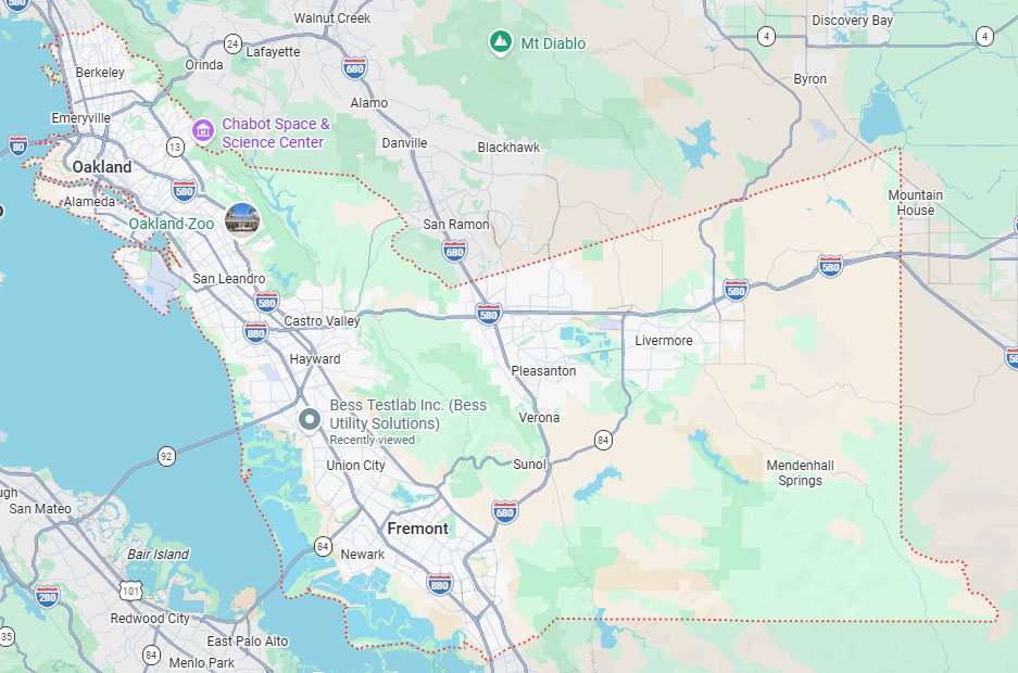
Hayward, CA
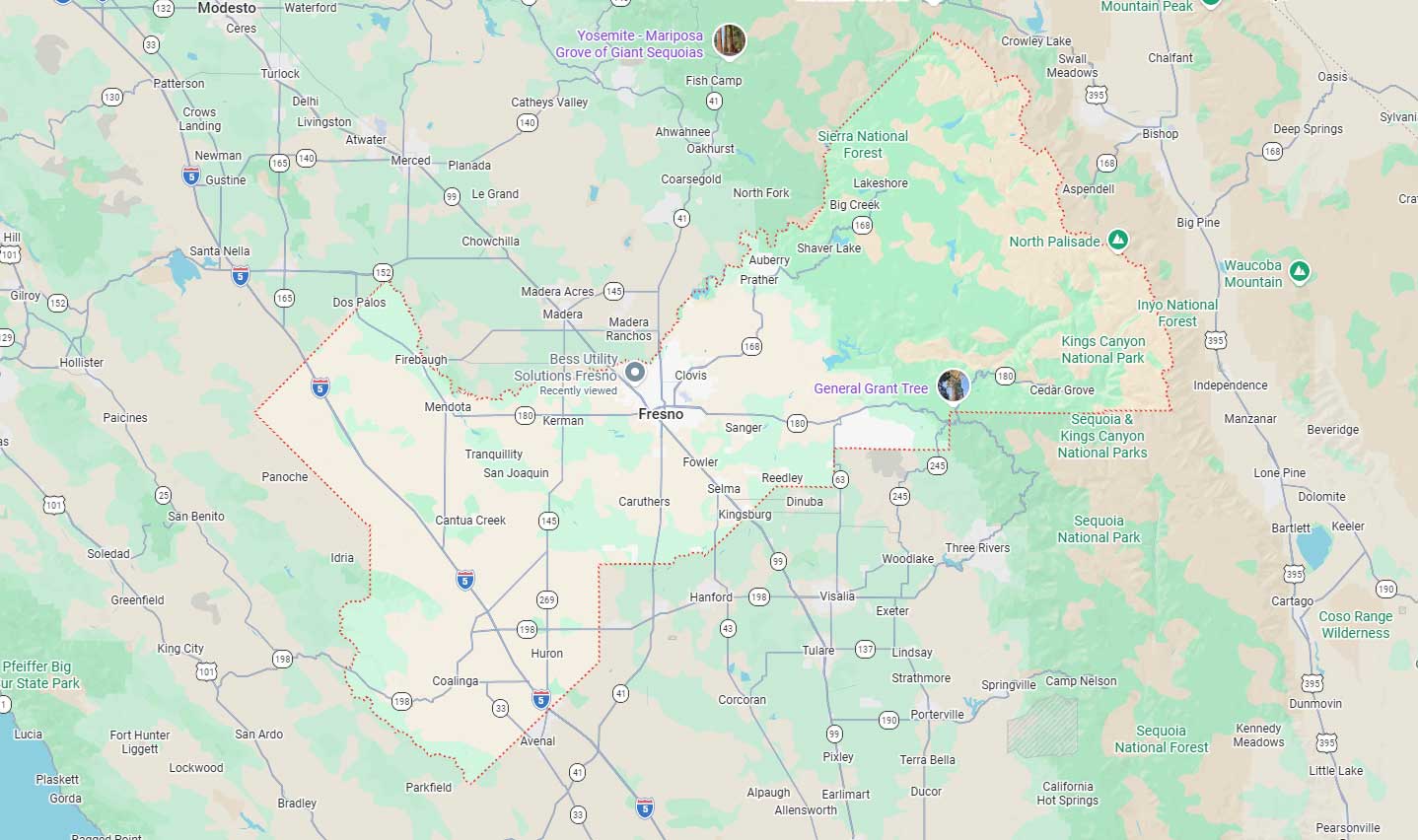
Fresno, CA
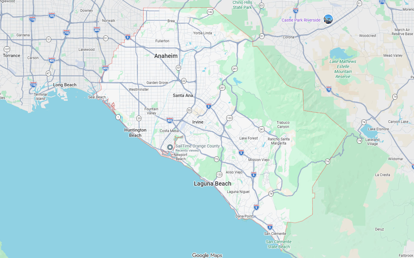
Orange, CA
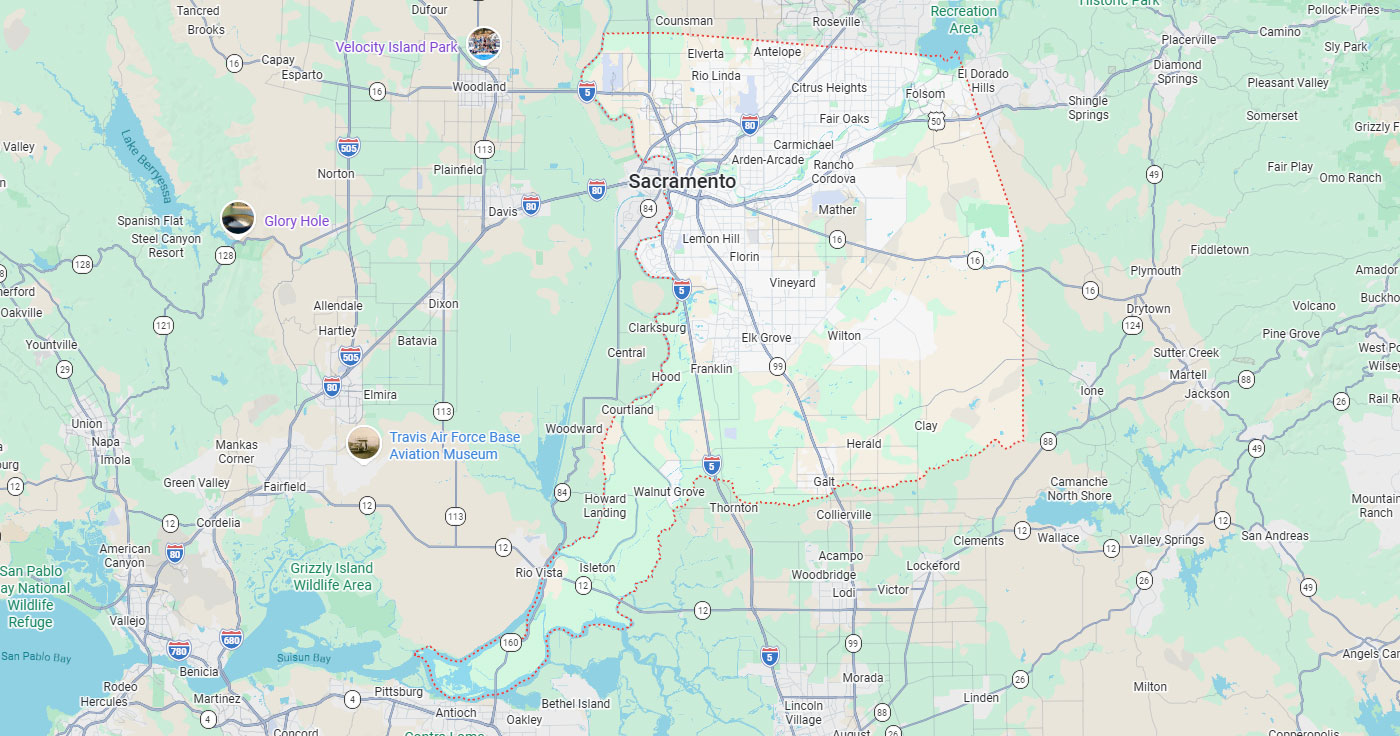
Sacramento, CA
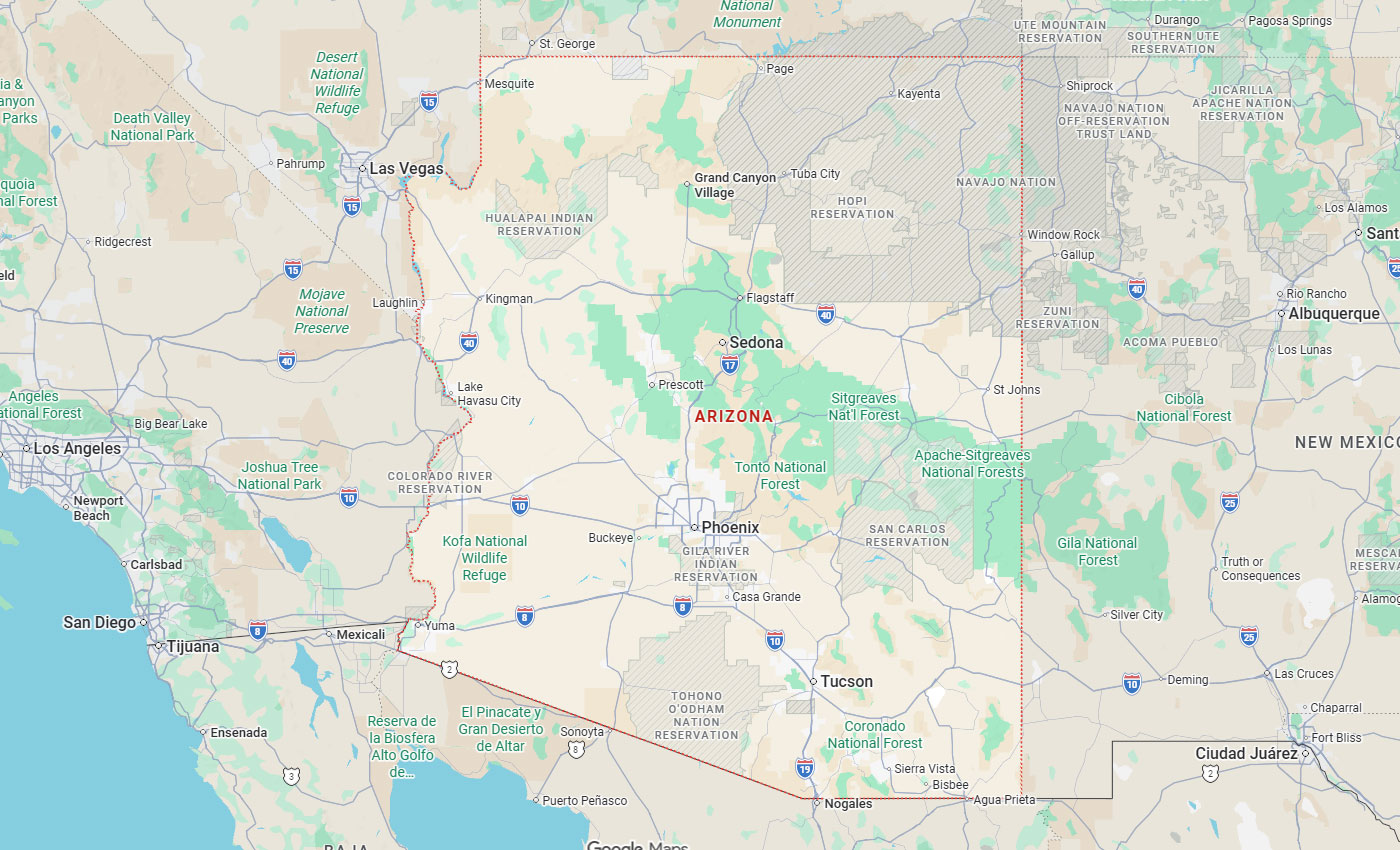
Phoenix, AZ
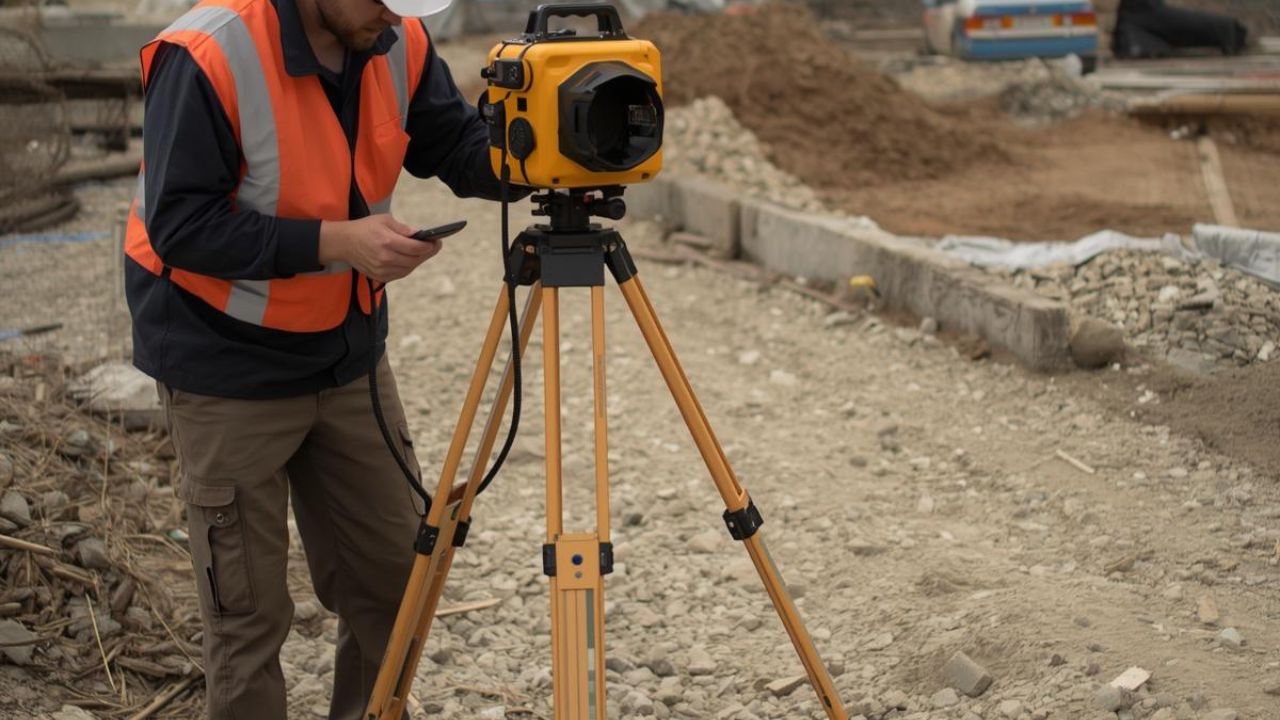
Utility relocation projects across California face extraordinary risk when subsurface conditions remain poorly understood before design and construction. Ground-penetrating radar provides accurate underground data needed to prevent relocation surprises, reduce change orders, and protect project schedules on transportation corridors, water systems, and urban infrastructure upgrades. California's USD 109.1 billion federal and state infrastructure investment since 2021 has intensified demand for reliable utility mapping that prevents costly conflicts in rail, transit, and highway programs.
Ground penetrating radar technology combines geophysical sensing with survey-grade positioning to locate metallic and non-metallic underground utilities before excavation. Accurate mapping protects against relocation cost overruns that have added hundreds of millions to California infrastructure projects. Engineering teams, contractors, and public agencies rely on GPR to establish design certainty and avoid delays from unmarked or mislocated underground assets.
Key Takeaways
Ground-penetrating radar transmits electromagnetic pulses into the ground and measures reflected signals to detect buried utilities, voids, and subsurface features. The technology identifies water, sewer, gas, electric, and fiber-optic lines regardless of material composition. GPR systems visualize underground conditions in real time, allowing field teams to map utility positions horizontally and estimate burial depths before design or excavation.
Utility relocation planning depends on accurate subsurface information to calculate conflict points, determine relocation pathways, and estimate construction costs. GPR scanning provides positional data needed to prevent dry holes, reduce unnecessary relocations, and sequence excavation around existing infrastructure. Reliable underground mapping prevents design changes and field delays when utility locations discovered during construction differ from record drawings or 811 markings.
Single-channel GPR systems offer flexible deployment for routine utility surveys and site-planning applications. These cart-based or handheld units detect metallic and non-metallic targets in mixed utility environments. Single-channel systems provide value for commercial developments, municipal infrastructure, and excavation-risk screening where comprehensive corridor mapping is not required.
Multi-channel and 3D GPR arrays deliver higher productivity on transportation corridors, rail crossings, and large infrastructure programs. These systems capture multiple data channels simultaneously, producing three-dimensional subsurface models that improve depth estimation and conflict identification. Time Domain Electromagnetic Induction locating complements GPR by detecting metallic utilities and tracer-wire conditions in conductive soil environments where radar performance may degrade.
ASCE 38-compliant subsurface utility engineering establishes higher standards for underground investigation by combining geophysical detection, survey control, records research, and field verification. Professional SUE workflows integrate GPR scanning with electromagnetic locating, visible utility evidence, and GIS database cross-referencing to produce design-grade utility maps. This multi-sensor approach reduces reliance on incomplete or inaccurate as-built records.
Quality Level A vacuum excavation provides direct confirmation of utility position, depth, material, and condition at critical conflict points identified through GPR and EM investigation. SUE-compliant mapping delivers the accuracy needed for design decisions, relocation planning, and construction sequencing on high-value infrastructure projects. Federal Highway Administration guidance recommends SUE because it reduces unnecessary utility relocations, contractor claims, redesign, and schedule delays across transportation programs.
GPR performs well in dry, sandy, or low-conductivity soils common in many California regions, delivering reliable detection to depths of three to five meters. The technology detects non-metallic assets such as PVC water lines, fiber-optic conduits, and concrete structures that electromagnetic methods cannot identify without tracer wires. GPR provides immediate field visualization, allowing operators to adjust scan patterns during site visits.
Soil conditions affect GPR accuracy when clay content, moisture saturation, or high conductivity attenuate radar signals and reduce penetration depth. Interpretation quality varies by provider experience, equipment calibration, and post-processing rigor. Depth confidence may require vacuum excavation confirmation at critical design points, while electromagnetic methods offer better performance for metallic targets in challenging soil environments.
California infrastructure upgrades depend on accurate underground utility data to prevent relocation conflicts, causing cost overruns and schedule delays. Ground-penetrating radar identifies buried assets before design finalization, allowing engineers to plan relocation pathways that minimize construction impacts and avoid expensive field changes. The state's dense urban utility networks, aging infrastructure, and incomplete records create conditions where subsurface uncertainty translates directly into project risk.
Major transportation, water, rail, and transit programs generate strong demand for professional utility mapping because relocation surprises can add millions in unplanned costs. GPR technology supports design confidence by revealing underground conditions that record drawings and 811 locates often fail to capture accurately.
California's construction and infrastructure GPR market is estimated at USD 14.8 million in 2025, with projected growth to USD 20.9 million by 2030. This 7.2% annual growth rate reflects the state's USD 160 billion construction GDP and unprecedented infrastructure investment through transportation, water, broadband, and civic modernization programs. Federal funding combined with state bond measures has created a five-year capital pipeline demanding higher-standard subsurface investigation.
Public infrastructure programs account for 58% of California GPR demand, while private commercial development represents 42%. Utility locating mapping for municipal and public works has become standard practice on transportation corridors, water system expansions, and transit extensions where relocation costs are high. Rising labor costs, worker shortages, and regulatory pressure increase the financial penalty for underground surprises.
Accurate utility mapping reduces project relocation costs by 40.33% and delivers USD 11.39 in savings for every dollar spent on subsurface investigation. Professional SUE workflows reduce project delays by 9.08% and redesign costs by 9.59% by identifying utility conflicts before construction documents are finalized. These savings result from fewer change orders, reduced rework, shorter construction durations, and the elimination of unnecessary utility relocations.
California infrastructure projects experience significant cost control benefits from early GPR investigation because relocation surprises trigger cascading impacts on schedule, traffic control, permit compliance, and contractor productivity. Construction and design costs decrease by 29.46% when projects use higher-quality subsurface data instead of incomplete records or minimal 811 marking. Why utility locating is the first step in safe excavation becomes clear when relocation planning depends on knowing exact positions before design lock-in.
California High-Speed Rail encountered USD 400 million in additional costs from utility relocations in one project phase because insufficient subsurface understanding complicated budgeting and construction sequencing. Los Angeles Metro's USD 26.8 billion capital program depends on accurate underground data to manage utility conflicts across rail, subway, and bus rapid transit corridors. Caltrans has invested in 3D utility data repositories to improve design quality and reduce relocation risk on highway modernization projects.
California GIS-mapping legislation requirements have increased pressure on public agencies to maintain accurate, digitally accessible utility records supporting long-term infrastructure planning. Water agencies, airport authorities, transit operators, and municipal public works departments rely on GPR to update legacy records and document subsurface conditions before capital projects.
Engineering firms and public agencies represent the largest user categories for California GPR services because they manage infrastructure design and capital program delivery. Civil engineering consultants integrate ground-penetrating radar into preconstruction investigation to establish design certainty and reduce liability from inaccurate subsurface assumptions. Public agencies use GPR to verify utility positions before corridor modernization, facility expansion, and infrastructure replacement projects.
Utility owners and contractors deploy GPR to protect existing asset networks and reduce excavation risk during construction operations. General contractors engage utility mapping services to prevent strikes, maintain schedule momentum, and avoid costly work stoppages from unmarked utility damage. Regional demand concentration reflects infrastructure activity patterns, with Southern California metropolitan areas, the San Francisco Bay Area, and Sacramento accounting for the majority of California GPR utility relocation work.
Engineering firms package GPR scanning inside comprehensive subsurface utility engineering workflows, combining geophysical investigation, survey control, records research, and quality-level designation. These firms deliver design-grade utility maps supporting infrastructure planning, conflict analysis, relocation design, and construction document preparation. SUE consultants use multi-sensor approaches integrating GPR with electromagnetic locating and vacuum excavation to achieve the accuracy required for high-value transportation, water, and transit projects.
Public infrastructure demand represents 58% of the California GPR market because transportation departments, water districts, transit agencies, and municipal public works face strict design standards and accountability for cost overruns. Public agencies increasingly specify SUE compliance and quality-level requirements to reduce relocation risk and protect capital budgets.
Seventy-three percent of contractors reported weaknesses in the 811 utility location process, with 78% identifying inaccurate locating as the biggest problem. Fifty-six percent cited slow response times that delay excavation and disrupt construction schedules. These gaps drive contractor adoption of private GPR services, providing faster, more accurate subsurface data than standard 811 marking in complex utility environments.
More than 20% of annual buried infrastructure damages are attributed to locating issues, creating safety incidents, repair costs, and liability exposure. Utility operators use GPR to verify asset positions before third-party excavation, update GIS records, and investigate suspected conflicts during relocation planning. Contractors engage GPR scanning to reduce strike risk, protect workers, and maintain excavation productivity when record drawings are incomplete.
Los Angeles, Orange County, and the Inland Empire account for 34% of regional GPR demand through concentrated transit, airport, roadway, port, water, and mixed-use development activity. The San Francisco Bay Area represents 24% of demand, driven by dense underground utility networks, urban redevelopment, technology-sector construction, and public infrastructure modernization. Sacramento and Northern Valley contribute 16% through state government facilities, water infrastructure, transportation projects, and administrative campus development.
Central Valley infrastructure accounts for 10% of California GPR utility relocation work, supported by agricultural water systems, highway corridors, rail crossings, and utility expansions. San Diego and Imperial County represent another 10%, driven by border infrastructure, military facilities, water management, and urban growth. Utility mapping challenges in coastal regions affect subsurface investigation in multiple California markets where groundwater, saturated soils, and corrosive environments complicate utility detection.
Professional utility surveys represent 34% of California GPR demand for preconstruction investigation, design verification, excavation risk screening, and routine conflict detection. Utility relocation support accounts for 26% of demand, driven by transportation corridor upgrades, rail programs, and major public infrastructure projects. Commercial development scanning contributes 18% through site-planning investigations, utility verification, and preconstruction coordination on urban and industrial projects.
Transportation corridor mapping represents 14% of California's demand for highway modernization, rail crossings, airport expansions, and transit extensions requiring comprehensive underground data. Concrete and structural scanning accounts for 8%, serving building construction, renovation, and specialty contractors needing near-surface detection before coring, cutting, or demolition.
Professional utility surveys deliver comprehensive subsurface investigation across larger project areas, producing design-grade utility maps with survey control and quality-level designation. These services integrate multiple detection methods, record research, field verification, and CAD or GIS deliverables supporting infrastructure design and relocation planning.
Commercial development scanning focuses on site-planning certainty, excavation coordination, and utility verification during preconstruction phases. These services typically cover smaller areas with faster turnaround, providing mark-outs, summary reports, and basic mapping sufficient for foundation layout and utility verification.
Transportation corridor mapping uses multi-channel or 3D GPR systems to capture comprehensive underground data across highway, rail, airport, and transit rights-of-way. These workflows deliver three-dimensional utility models supporting corridor design, relocation planning, and conflict analysis over extended linear projects. Corridor mapping integrates with survey control and traffic management to maintain safety and minimize lane closures during data collection.
Concrete scanning employs high-frequency GPR to detect rebar, conduit, post-tension cables, and embedded services in slabs, walls, and structural elements. This near-surface investigation prevents damage during coring, sawcutting, anchor installation, and demolition. Concrete scanning delivers immediate field results through mark-outs or digital reports.
Utility relocation support combines GPR scanning with electromagnetic locating, records analysis, survey integration, and selective vacuum excavation to establish high-confidence subsurface data. These workflows produce the positional accuracy needed to calculate relocation costs, identify conflict points, and design new utility alignments around existing infrastructure.
The advanced relocation workflows package early subsurface investigation into mobilization and design milestones, allowing engineers to identify conflicts before construction documents are finalized. GPR vs EM locating technology for your project depends on soil conditions, utility types, and project accuracy requirements, with integrated workflows delivering better results. GIS and CAD integration ensures utility data supports long-term asset management and future infrastructure planning.
Accuracy ranks highest among buyer decision factors because inaccurate utility data causes design conflicts, relocation surprises, and field delays exceeding mapping costs by large multiples. Safety and risk reduction influence selection strongly because utility strikes create worker injuries, public hazards, regulatory exposure, and emergency repair costs. Speed and schedule certainty matter when construction timelines are tight, and delays trigger penalty clauses or permit expiration. California buyers prioritize accuracy at an estimated 34% importance weight, followed by safety at 27%, speed at 23%, and cost at 16%.
Locators rated accuracy at 9.6 out of 10 when identifying the most important performance dimension in utility location work. Stakeholder research shows buyers want location tolerances better than 100 millimeters at depths extending to three or five meters, exceeding precision from standard 811 marking or legacy record drawings.
California infrastructure projects experience high costs from inaccurate utility information because relocation conflicts trigger redesign, schedule delays, traffic control extensions, and permit complications. Engineering firms face professional liability when design documents rely on incomplete utility data, forcing field changes.
Locators rated safety at 9.3 out of 10, reflecting industry recognition that utility strikes create the most serious safety consequences in excavation operations. Damaged gas lines, electric cables, and pressurized water mains generate immediate worker and public hazards resulting in injuries, fatalities, evacuations, and regulatory enforcement.
Utility strikes create cascading costs beyond immediate repair, including work stoppages, regulatory fines, insurance claims, project delays, and community relations impacts. California's dense utility networks and strict safety regulations make strike prevention a primary driver of GPR adoption.
Average GPR scanning costs range from USD 1,000 to USD 5,000 per day, depending on project complexity, site conditions, and deliverable requirements. Smaller tasks may be billed at USD 250 to USD 300 per hour, while standard utility-locating jobs typically run USD 800 to USD 1,500 per day. Budget-tier services deliver basic field marking and simple documentation, while mid-range services provide mark-outs with summary reports and CAD or GIS deliverables.
Premium services ranging from USD 3,000 to USD 5,000 per day deliver integrated utility maps, deeper analysis, survey alignment, and higher-confidence interpretation for complex infrastructure projects. Mobilization fees of USD 250 to USD 500 apply to most projects. Cost-benefit analysis favors premium mapping on high-value projects because professional SUE represents approximately 1.65% of project budgets while delivering savings exceeding investigation costs by factors of ten or more.
Project delays and change orders drive buyers to seek accurate subsurface data, preventing underground surprises, causing schedule slippage, and budget overruns. Relocation surprises and cost overruns motivate infrastructure owners to invest in professional utility mapping before design finalization. Redesign costs from utility conflicts create financial exposure, making early GPR investigation economically rational when subsurface uncertainty is high. Despite strong motivations, buyers face objections about upfront costs, reliance on legacy records, and uncertainty about return on investment.
California contractors operate under pressure from labor costs, worker shortages, regulations, and project delays from government funding processes and permit reviews. Design certainty becomes valuable when utility conflicts discovered during construction force document revisions and schedule extensions.
Project delays trigger cascading costs through extended traffic control, escalated labor rates, equipment standby time, and penalty clauses that multiply the financial impact of underground surprises. Hydro vacuum excavation provides final confirmation at critical points, while GPR establishes a broader subsurface context guiding excavation planning.
Buyers frequently hesitate over upfront GPR costs without recognizing that mapping investment represents a small fraction of financial exposure from relocation surprises and utility strikes. Legacy records and 811 marking create false confidence because incomplete documentation and inaccurate horizontal positions are common in aging infrastructure networks with decades of undocumented modifications. Contractors report that 73% perceive weaknesses in 811 processes, with 78% identifying inaccurate locating as the primary problem.
Overreliance on as-built drawings exposes projects to design liability when record positions differ from field conditions or fail to show utilities installed after original construction. Cost objections diminish when buyers understand that avoided delays, change orders, and strikes typically deliver ten-to-one or higher returns on mapping investment.
Mobilization fees of USD 250 to USD 500 make GPR economically accessible even on smaller commercial developments and limited-scope utility verification projects. Right-sized scopes focusing on critical conflict areas or high-risk excavation zones reduce total investigation costs while addressing the most serious subsurface uncertainties.
Demonstrating quantified ROI helps overcome skepticism by showing that professional SUE delivers USD 11.39 in savings per dollar spent through reduced relocation costs, fewer delays, and eliminated redesign. Case examples from California infrastructure projects illustrate the cost consequences of inadequate subsurface investigation, including the USD 400 million in High-Speed Rail relocation overruns.
Multi-channel and 3D GPR systems provide higher productivity and richer subsurface visualization than single-channel methods, making them valuable for transportation corridors and large infrastructure programs. Single-channel GPR offers greater flexibility and lower cost for routine utility surveys, commercial development scanning, and excavation risk screening on smaller projects. Electromagnetic locating delivers strong performance for metallic utilities and tracer-wire detection in conductive soil conditions where radar penetration may be limited.
Vacuum excavation provides the highest-confidence direct confirmation of utility position, depth, material, and condition through controlled exposure at critical conflict points. Integrated workflows combining GPR, EM locating, survey control, records research, and selective potholing produce the most defensible subsurface data for complex projects.
Multi-channel GPR systems capture multiple data channels simultaneously, producing three-dimensional subsurface models that improve depth estimation, conflict visualization, and corridor-level analysis. These advanced arrays deliver higher productivity on linear projects by scanning wider swaths in each pass, reducing field time and traffic control requirements on active roadways.
Multi-channel GPR requires higher equipment costs and larger mobilization compared to single-channel systems, making it most economical on projects with sufficient scope and complexity. Single-channel methods remain cost-effective for site-planning scans, commercial development, municipal infrastructure, and excavation-risk screening where comprehensive 3D visualization is not necessary.
EM locating complements GPR by providing strong detection of metallic utilities such as gas lines, electric cables, water mains, and tracer-wire-equipped fiber-optic conduits in environments where soil conductivity limits radar performance. Electromagnetic methods work well in clay soils, high-moisture conditions, and urban areas where metallic utility density is high. EM locating is less effective for non-metallic targets like PVC pipe and concrete structures.
Vacuum excavation is the slowest and most expensive investigation method per point, but it delivers direct confirmation, eliminating uncertainty about utility position, depth, and material at critical conflict locations. Quality Level A potholing uses controlled air or hydro excavation to expose utilities without damage. Integrated SUE workflows use GPR for broad detection, EM for metallic verification, and vacuum excavation for high-confidence confirmation at select points where design or excavation risk is greatest.
Budget services deliver paint or flag marks with simple field notes, providing basic excavation guidance for low-risk sites with minimal utility congestion. Mid-range services provide mark-outs with summary reports and CAD or GIS deliverables supporting design coordination on routine commercial and civil projects. Premium services deliver integrated utility maps, deeper analysis, survey alignment, and quality-level designation meeting higher standards for complex infrastructure programs.
Integrated workflows combine records review, field investigation using multiple detection methods, survey control for positional accuracy, and quality-level designation that communicates confidence in horizontal and vertical positions. These comprehensive approaches reduce design liability by establishing defensible subsurface data supporting decision-making throughout project lifecycles.
Ground-penetrating radar has become essential technology for California utility relocation projects because accurate subsurface data prevents the cost overruns and schedule delays documented across major infrastructure programs. Professional utility mapping delivers measurable financial returns through reduced relocation costs, fewer design changes, eliminated contractor claims, and protected construction schedules on transportation, water, and transit projects. California's unprecedented infrastructure investment demands a higher-standard subsurface investigation establishing design certainty before excavation and construction commitments.
The economic case for GPR utility relocation is strongest when buyers recognize that mapping investment represents a small fraction of financial exposure from underground surprises during construction. Multi-sensor workflows combining ground-penetrating radar with electromagnetic locating and vacuum excavation provide the accuracy required for complex corridor projects and congested urban environments. Bess Utility Solutions has supported California infrastructure upgrades for 29 years, delivering ASCE 38-compliant subsurface utility engineering that helps engineering teams, contractors, and public agencies protect project budgets and timelines through accurate underground data.
California infrastructure projects need reliable subsurface investigation partners who understand local soil conditions, utility networks, and project delivery requirements. Explore comprehensive utility location services that combine advanced GPR technology with 29 years of California experience to deliver the accurate underground data your project demands.
Utility relocation surprises cost California projects millions every year. Bess Utility Solutions delivers ASCE 38-02 compliant GPR scanning, multi-sensor utility locating, and vacuum excavation services that give your engineering and construction teams the accurate subsurface data they need before design finalization.
With 29 years of experience, 1,000+ satisfied clients, and CPUC MBE/DBE certification, we are the trusted partner for transportation, water, and municipal infrastructure programs across California, Arizona, and Nevada.
Don't let unmarked utilities derail your project. Request a consultation with Bess Utility Solutions and build with confidence.
Pricing Disclaimer:
Every utility project is unique, and pricing can vary depending on location, complexity, and service needs. The prices mentioned are estimates only. For the most accurate and competitive quote, we recommend contacting Bess Utility Solutions for a personalized assessment.