Key Takeaways
California's coastline is a beautiful place, but it also has many challenges. One of these challenges is mapping utilities. Utilities are things like water, electricity, and gas. Mapping them is important so that we know where they are and can keep them safe.
One of the biggest challenges to mapping utilities in California is soil erosion. Soil erosion is when soil is washed away by water or wind. This can be a big problem for utilities because it can damage them or make them harder to find.
Another challenge is sea level rise. Sea level rise is when the level of the ocean goes up. This can be a problem for utilities that are near the coast. If sea level rises too much, utilities could be damaged or even destroyed.
California's coastline is a beautiful and diverse region, but it also presents unique challenges for utility mapping. The combination of natural factors, human activities, and regulatory requirements can make it difficult to accurately locate and maintain underground utilities.
Here are some of the key challenges faced by utility companies and municipalities in this region:
Coastal erosion is a significant problem in California, particularly during storms and high tides. This can lead to the exposure or damage of underground utilities, making them difficult to locate and repair. Severe storms can cause significant erosion, leading to sudden and extensive damage to utilities. Efforts to replenish beaches can also disrupt existing utility lines.
Climate change is causing sea levels to rise, which poses a threat to coastal infrastructure, including utility lines. As sea levels rise, utilities may become submerged or experience saltwater intrusion, which can corrode pipes and cables. Coastal retreat may also be necessary, requiring the relocation of utilities.
California is prone to earthquakes, which can cause significant damage to underground utilities. The shaking can displace pipes and cables, leading to leaks, breaks, and power outages. Loose soil can liquefy during an earthquake, causing utilities to sink or tilt. Repeated shaking can further damage weakened utilities.
Coastal areas are susceptible to landslides, which can bury or damage utility lines. Landslides can be triggered by heavy rainfall, earthquakes, or erosion. Landslides can bury entire utility systems, making them difficult to locate and repair. They can also cause erosion, exposing utilities to the elements.
The rapid growth of coastal cities and towns has led to increased demand for utilities and infrastructure. This development can make it difficult to accurately map existing utilities and plan for future expansion.
New construction projects can conflict with existing utility lines, requiring careful coordination and relocation. Rapid urbanization can strain existing utility systems, leading to service disruptions and the need for upgrades.
Utility companies in California must comply with a complex set of regulations, including those related to environmental protection, safety, and accessibility.
These regulations can make it challenging to obtain permits and approvals for new utility projects. Utilities must adhere to strict safety regulations to protect workers and the public. They must also be accessible to all users, including those with disabilities.
Many of California's coastal utilities are aging and in need of replacement. This can make it difficult to maintain reliable service and avoid disruptions.
Over time, utility materials can corrode and deteriorate, leading to leaks, breaks, and failures. Older utilities may not meet modern standards for efficiency or reliability. Replacing aging infrastructure can be expensive and disruptive.
In California, it's important to know where underground pipes and cables are to avoid accidents and keep people safe. Utility locating services use special tools to find these buried things.
Knowing where utilities are before digging or building can help prevent accidents and save money.
By identifying the location of utilities, workers and the public can be protected from hazards such as electrocution, gas leaks, or water main breaks.
Avoiding accidental damage to utilities can significantly reduce repair costs and prevent service interruptions that impact businesses and residents.
Utility locating services can help expedite construction projects by identifying potential conflicts with underground infrastructure early in the planning stages.
In California, it's very important to know where underground pipes and cables are to avoid accidents and keep people safe. Underground utility locating services use special tools to find these buried things.
In emergencies like earthquakes or storms, knowing where underground pipes and cables are can help people fix things quickly. This is important because it can help people get their water, electricity, and other services back as soon as possible.
Utility locating data can be used to plan for future infrastructure development, ensuring that new projects do not conflict with existing utilities.
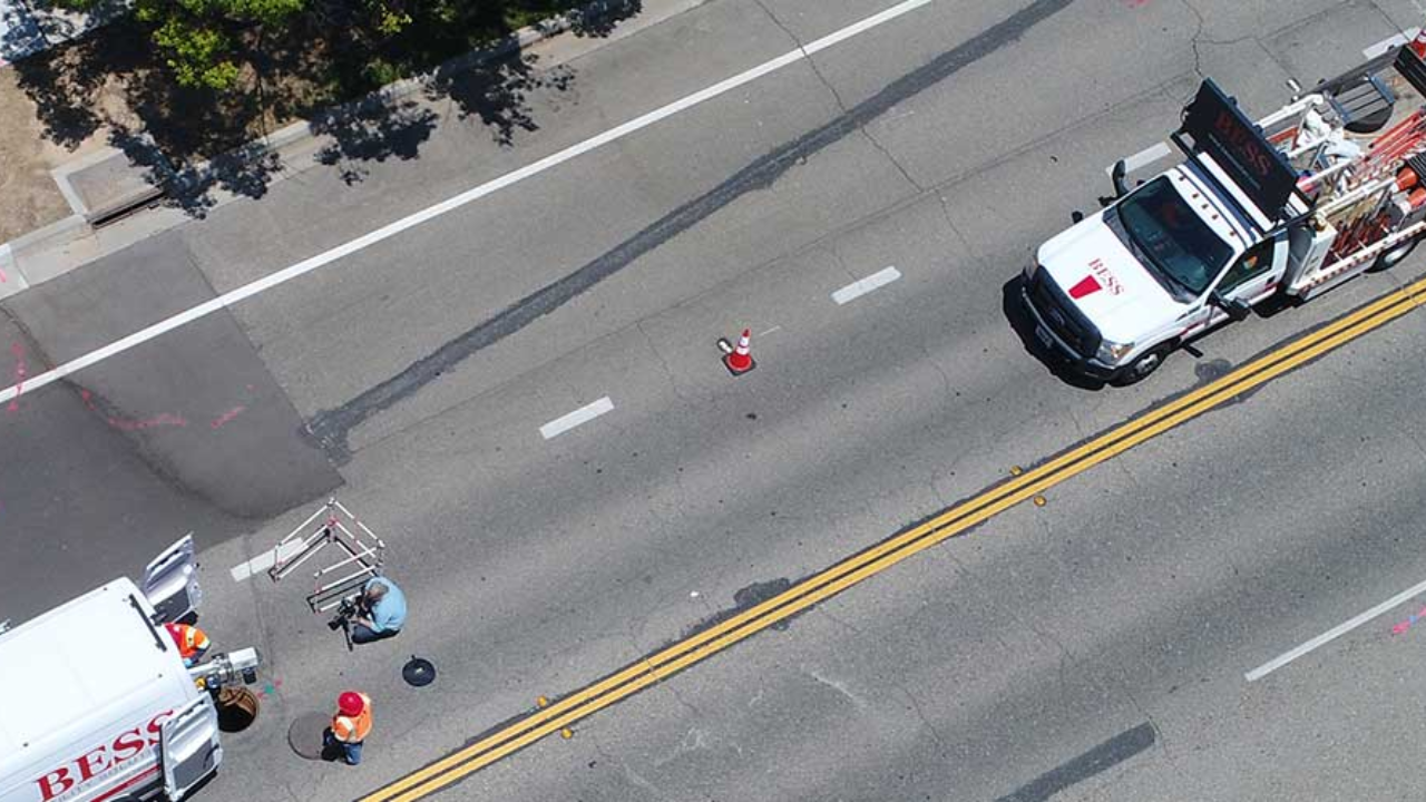
Bess Utility Solutions is a company that helps people locate and map buried utilities. We have a lot of experience mapping utilities in coastal areas. We know the challenges that these areas face, and we have the tools and expertise to help you overcome them.
We use the latest technology to map utilities. This includes drones, LiDAR, and GIS. Drones can take pictures of the ground from the air. LiDAR can measure the height of the ground. GIS can help us create maps of utilities.
We also have a team of experienced utility mappers. They know how to identify different types of utilities, and they can help you create accurate maps.
If you are facing challenges mapping utilities in California's coastal region, we can help. Contact us today for a free quote!