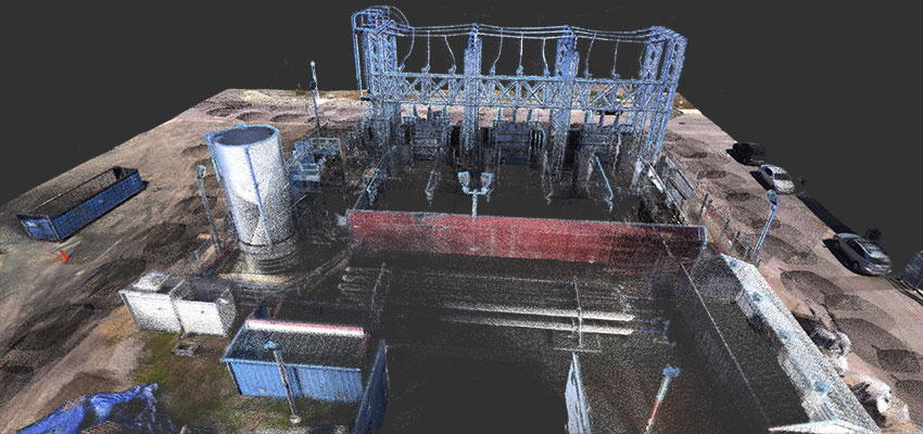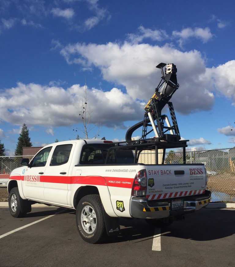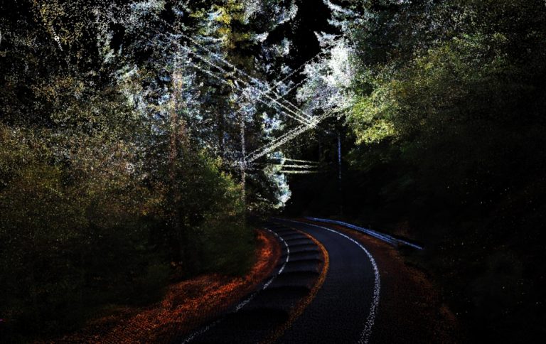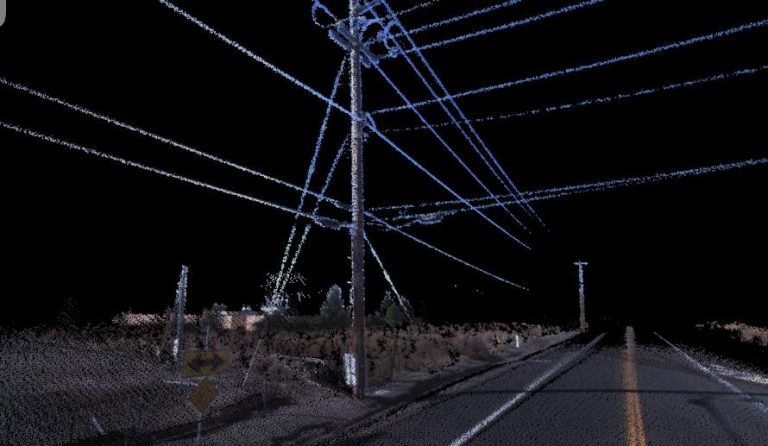
Mobile LiDAR mapping offers an innovative solution to capture detailed spatial data efficiently and accurately. At Bess Utility Solutions, we leverage state-of-the-art technology and expertise to provide comprehensive mobile LiDAR mapping services across California.
Our Topcon IP-S2 HD LiDAR mobile mapping system is equipped to collect 1.3 million points per second, offering exceptional point cloud density and range for a wide range of applications. From utility mapping to database management and infrastructure planning, our mobile LiDAR scanning delivers precise information to support your project needs.


Mobile LiDAR mapping revolutionizes the way spatial data is collected and analyzed. By utilizing advanced LiDAR technology mounted on mobile platforms, we can rapidly capture highly detailed 3D data of the surrounding environment.
This allows us to create accurate maps, models, and digital representations for various purposes, from urban planning to utility management and beyond.
Contact Bess Utility Solutions for cutting-edge solutions for Mobile Mapping and Scanning using LiDAR to ensure accurate data required for planning purposes; including parcel and utility mapping, and database and vegetation management of above ground infrastructures.
Our mobile LiDAR mapping services cater to various industries and applications, including:
Our mobile LiDAR mapping services extend beyond basic data collection to offer a comprehensive suite of solutions tailored to your specific project requirements.
In addition to traditional LiDAR mapping, we also specialize in specialized applications such as corridor mapping, infrastructure inspection, and asset management.
Our mobile LiDAR mapping capabilities are well-suited for corridor projects such as highways, railways, and pipelines. By rapidly scanning linear features from a moving vehicle, we can generate precise 3D models of road alignments, track profiles, and utility corridors.
This data is invaluable for infrastructure planning, design, and maintenance, allowing stakeholders to identify potential hazards, optimize alignments, and streamline construction workflows.
Mobile LiDAR mapping is an effective tool for inspecting and assessing the condition of infrastructure assets such as bridges, dams, and transmission towers.
With our high-definition LiDAR system, we can capture detailed point cloud data of structural elements, identify signs of deterioration or damage, and prioritize maintenance activities. This proactive approach to infrastructure inspection helps minimize downtime, reduce risks, and extend the service life of critical assets.
Managing a diverse portfolio of assets requires accurate and up-to-date information. Our mobile LiDAR mapping services support asset management initiatives by providing comprehensive inventories of infrastructure assets such as streetlights, fire hydrants, and stormwater drains.
By capturing detailed spatial data and attribute information, we help asset managers track asset locations, monitor condition status, and plan maintenance schedules more effectively.
One of the key advantages of mobile LiDAR mapping is its versatility across different environments and applications.
Whether you're surveying urban streetscapes, dense forests, or remote wilderness areas, our mobile LiDAR solutions can adapt to various terrain and vegetation conditions, delivering accurate and reliable results.
At Bess Utility Solutions, we have a proven track record of delivering high-quality mobile LiDAR mapping services for a wide range of projects across California. Our team of experienced professionals combines technical expertise with industry knowledge to ensure that every mobile LiDAR project is completed on time and within budget.
From project planning and data acquisition to processing and analysis, we work closely with our clients to ensure that their specific needs and objectives are met with precision and accuracy. Contact us today to learn more about our mobile LiDAR mapping services and how we can support your project needs.


