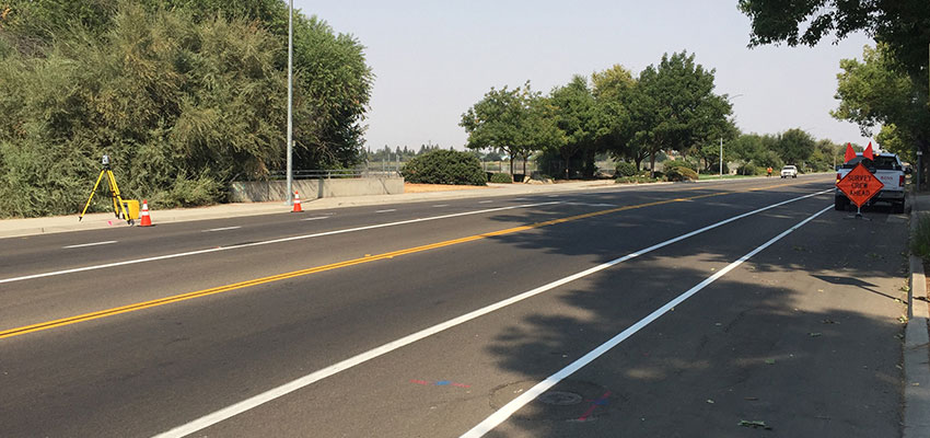
At Bess Utility Solutions, we understand the critical role of accurate surveying and mapping in the successful completion of any project. Our state-of-the-art technology and experienced professionals ensure precision in every detail, providing a solid foundation for your planning and development needs.
We offer a comprehensive range of utility locating services in California tailored to meet the unique requirements of your project, including topographic surveys, boundary surveys, construction staking, GIS data collection, and more. Our team utilizes the latest technology to deliver detailed and reliable results for your utility locating needs.
Unlocking the full potential of any construction or development project begins with a solid foundation of understanding the lay of the land. The Bess Team stands at the forefront, offering unparalleled surveying and mapping services tailored to a diverse clientele.
Surveying and mapping involve the processes of detecting, identifying, and mapping underground utilities such as water pipes, gas lines, sewer lines, electric lines, and telecommunications wires. This specialized area of surveying is crucial for the planning, construction, and maintenance of infrastructure projects and property boundaries and for minimizing the risk of damaging existing private utility lines.
Offering a suite of surveying and mapping services, our utility locating services ensure that every square inch of your project is mapped out with accuracy, ensuring safety and efficiency from the ground up. This expertise ensures projects kick off on the right note, with precise land assessments that mitigate risks and enhance efficiency for detecting underground utilities.
Hiring private utility locators is more than just avoiding obstacles; it’s about leveraging detailed insights to optimize every decision made on the ground. That’s the assurance utility companies bring to the table: a foundation built on accuracy, safety, and strategic foresight.
Empower your decisions with advanced geospatial intelligence and accurate mapping of underground utilities. Request an estimate for surveying and mapping services in Northern California! We are your trusted surveyor and mapping experts in the Bay Area, Central Valley and the rest of the cities in NorCal. We also serve locations near Phoenix, Arizona.
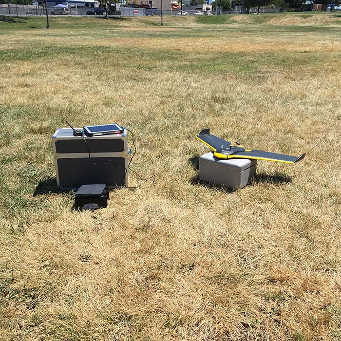
Our aerial mapping and inspection services utilize cutting-edge drone technology to deliver high-resolution imagery and data for a wide range of applications. From detailed topographic surveys to infrastructure inspection and environmental monitoring, our aerial solutions provide comprehensive insights that support effective planning, design, and maintenance activities.
Mobile LIDAR utility mapping represents the pinnacle of efficient and accurate geographical data collection. Mounted on moving vehicles, our mobile LIDAR systems capture detailed three-dimensional information about the surveyed environment.
This service is ideal for large-scale mapping projects, including roadways, urban development, and large infrastructure, providing precise data with speed and efficiency.
Our terrestrial laser scanning services offer unparalleled accuracy and detail for capturing the built environment. Perfect for construction, engineering, and heritage conservation projects, this technology provides high-density 3D data for detailed analysis and modeling of public utilities.
Whether you need to model complex structures, monitor construction progress, or conduct historic preservation, our terrestrial scanning services are tailored to meet your specific requirements.
We specialize in vault diagrams and scanning, providing essential information for utility management, infrastructure projects, underground utilities, and sub-surface facilities. Our advanced scanning technology allows for detailed mapping and visualization of underground vaults, conduits, and utilities, ensuring that you have accurate data for planning, maintenance, and safety procedures.
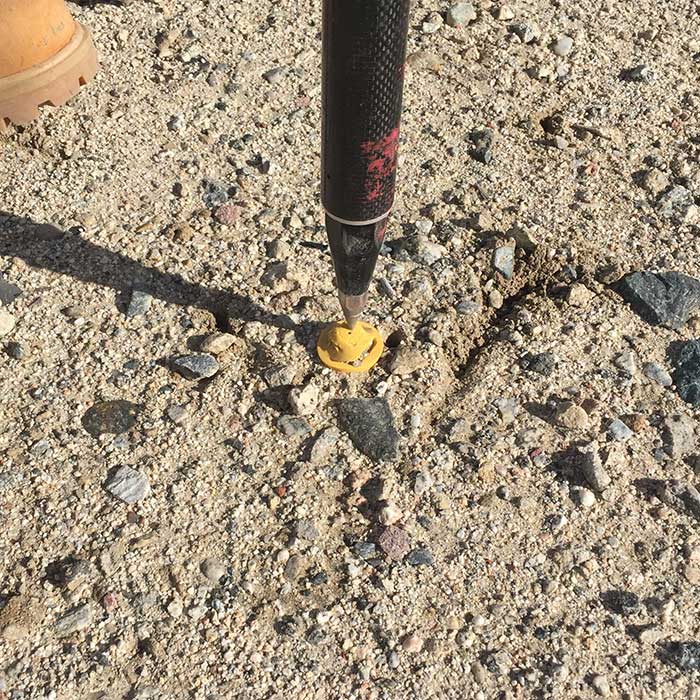
As part of our “one stop shop” approach and commitment to innovation, BESS offers mapping and land surveying services from very simple data collection to complex 3D scanning to fit any needs or budget. These services not only provide a record of what is found during our utility investigation but also an accurate map of existing features and conditions that can be layered onto existing or proposed CAD drawings.
BESS uses a combination of mapping methods to efficiently complete a project, such as RTK GPS, Robotic Total Station, FARO terrestrial laser scanner, Topcan IPS2 mobile LiDAR, IDS Stream EM multiple array GPR system and several sUAS systems, multi-rotor and fixed-wing.
Having such a wide range of data collection tools allows us to efficiently capture any data requested in any environment while maintaining a high level of accuracy. These mapping services allow for more efficient and effective project coordination and private utility locating services.
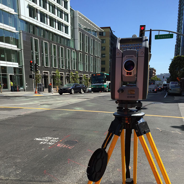
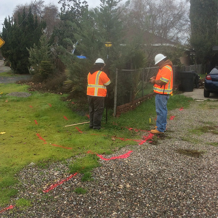
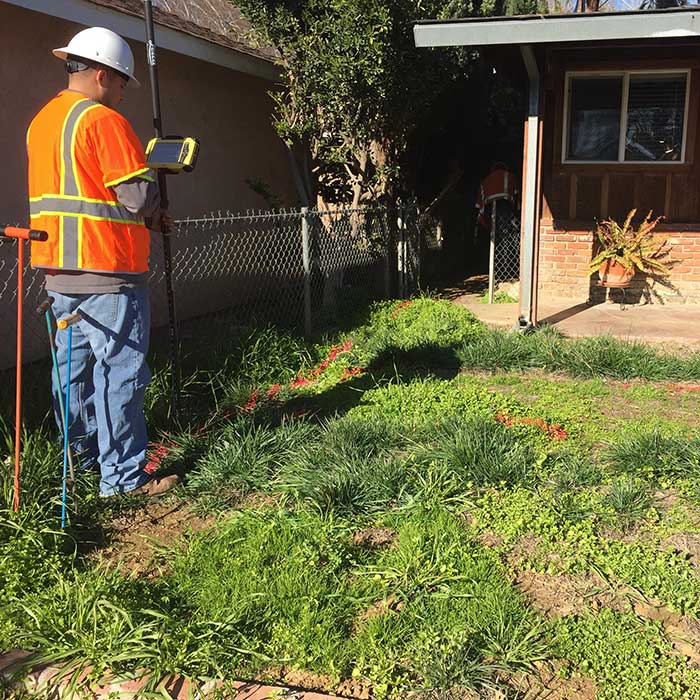
Computer Aided Drafting (CAD) services can be included or added to any project at any time as part of our one-stop shop approach. We have the capabilities of very simple data collection and complex 3D scanning to fit any needs or budget. CAD services not only provide a record of what was found during our utility investigation but also an accurate map of existing conditions that can be layered onto existing or future drawings.
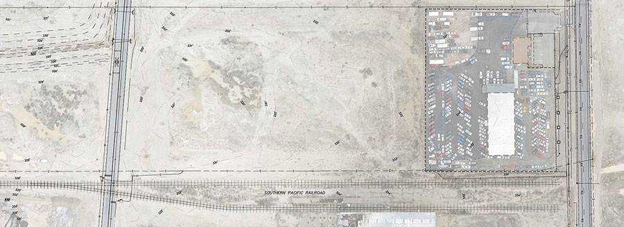
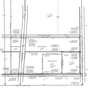
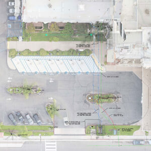
CAD & Utility Mapping services allow for more efficient project coordination for; utility line replacement planning, utility line design, pavement management planning, directional bore planning, excavations, leak detections and repairs, private utilities, asset management, as-built pipeline drawings, corridor planning, vegetation management, cell and transmission tower inspection and repair, wind turbine inspection and repair, etc.
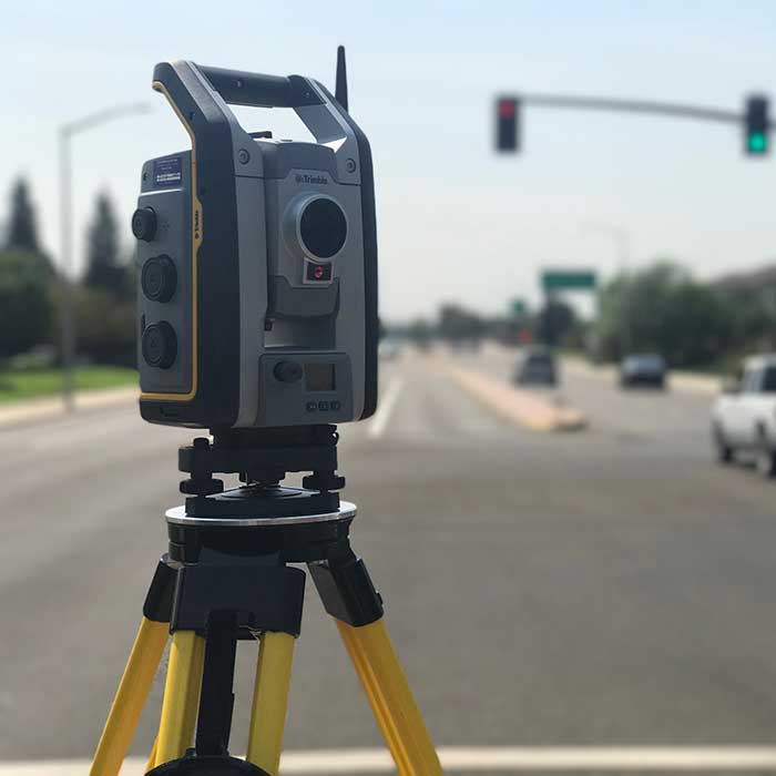
At Bess Utility Solutions, we understand that precision and reliability are paramount when it comes to surveying and mapping services. Our commitment to excellence and innovation positions us as a leader in providing top-tier utility solutions for a wide range of applications. Here’s why you should consider Bess Utility Solutions for your next project in California:
Unmatched Expertise: Our team of highly skilled professionals brings together decades of experience in surveying and mapping. With a profound understanding of the latest industry standards and regulations, we ensure that every project we undertake is executed with unmatched precision and professionalism.
State-of-the-Art Technology: We invest in the latest technology and equipment to provide our clients with the most accurate and efficient surveying and mapping services available. From advanced GIS (Geographic Information Systems) to sophisticated remote sensing and drone surveying technologies, we have the tools to deliver exceptional results.
Comprehensive Services: Bess Utility Solutions offers a comprehensive range of services to meet all your surveying and mapping needs. Whether you require underground utility locating, land surveying, topographical surveys, or detailed GIS data analysis, we have the expertise and technology to deliver accurate and timely results.
Client-Centric Approach: We pride ourselves on our client-centric approach, ensuring that we fully understand your specific needs and objectives. Our team works closely with each client to tailor our services to their unique requirements, ensuring satisfaction and the successful completion of projects.
Quality Assurance: Quality is at the heart of everything we do. Our rigorous quality assurance processes ensure that all data and mappings are accurate, reliable, and meet the highest standards of quality. We are committed to delivering excellence in every project, no matter the size or complexity.
Competitive Pricing: We believe in providing our clients with value for their investment. Our competitive pricing strategy ensures that you receive the highest quality surveying and mapping services at a cost-effective price. We work with you to develop a solution that fits your budget without compromising on quality.
Choosing Bess Utility Solutions means partnering with a company that puts your needs first, delivering precise, reliable, and high-quality surveying and mapping solutions. Let us help you achieve your project goals with our expertise, technology, and dedication to excellence.
Contact us today to discuss your surveying and mapping needs and discover how Bess Utility Solutions can make a difference in your next project!


