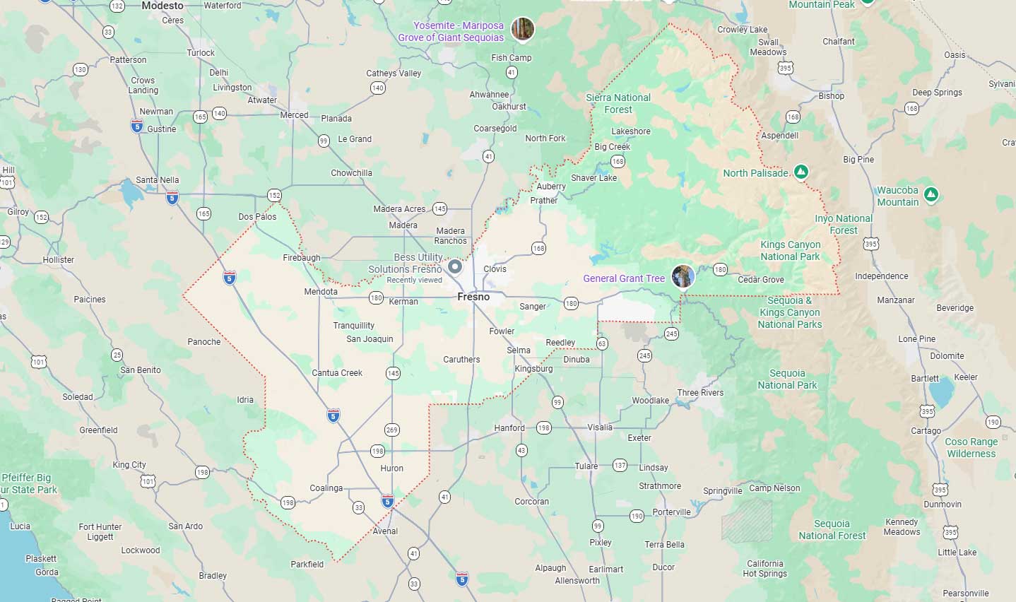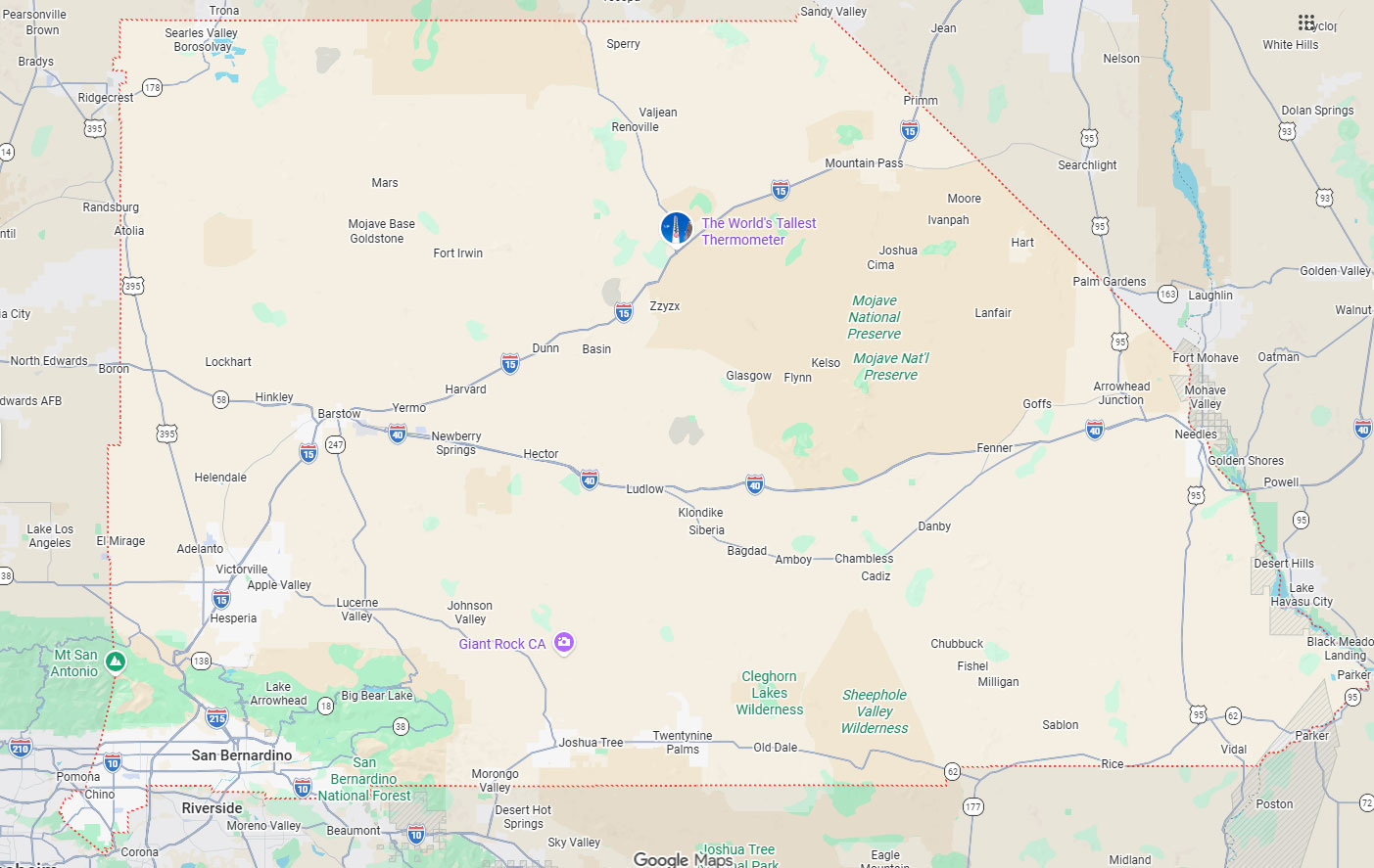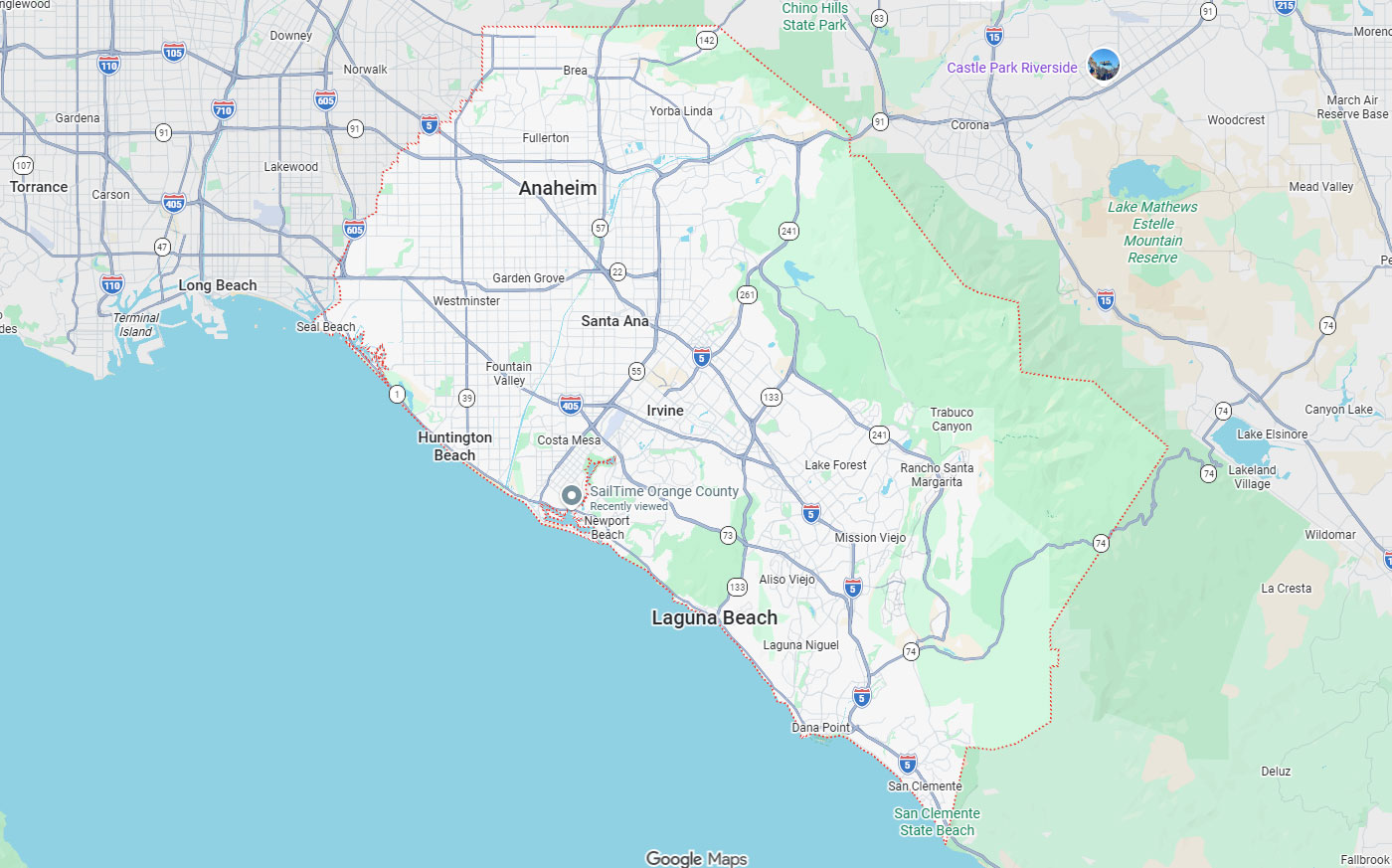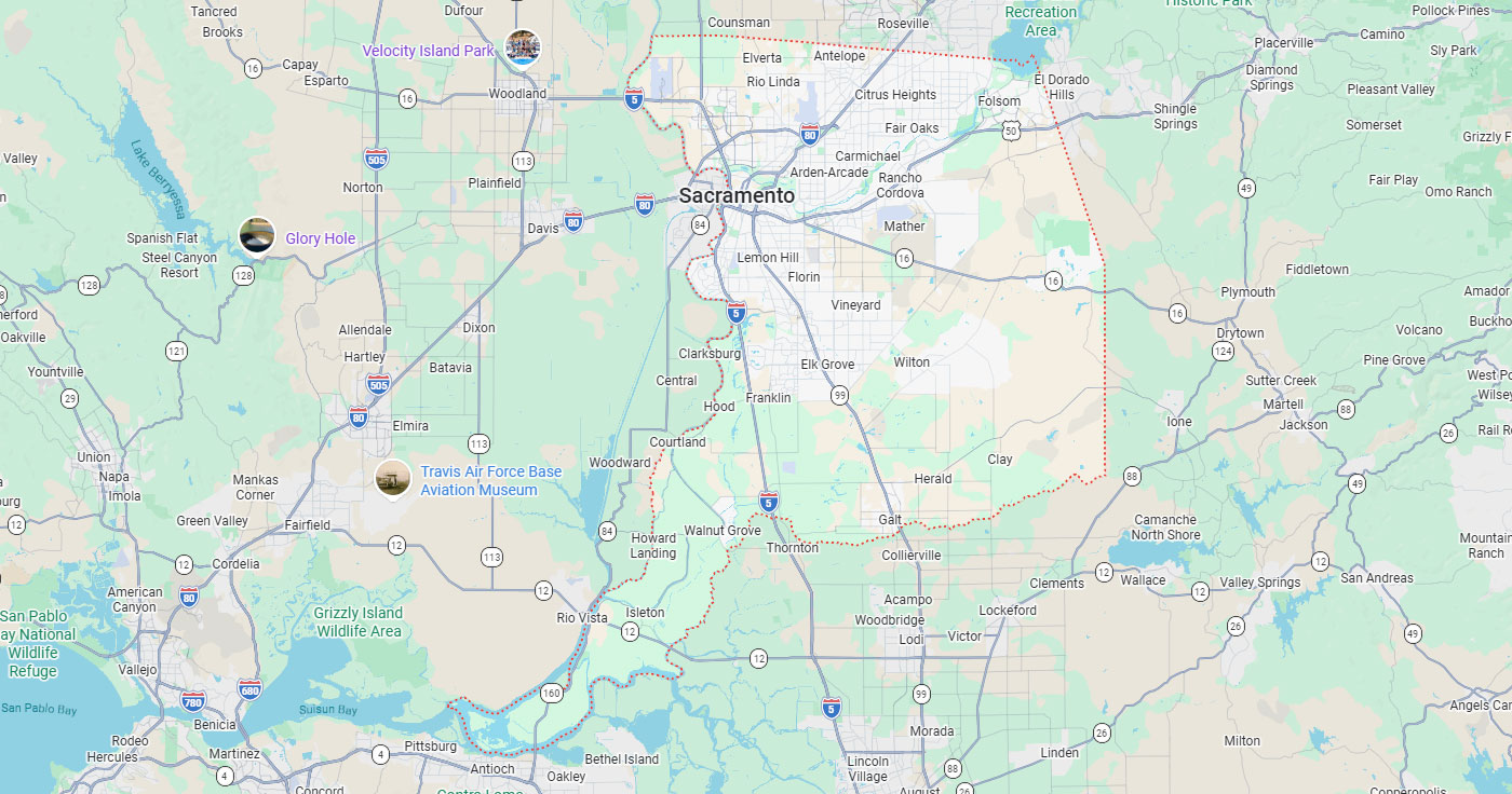
Hayward, CA
Fresno, CA
Orange, CA
Sacramento, CA
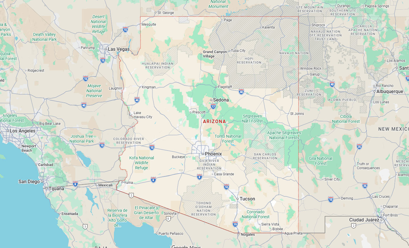
Phoenix, AZ
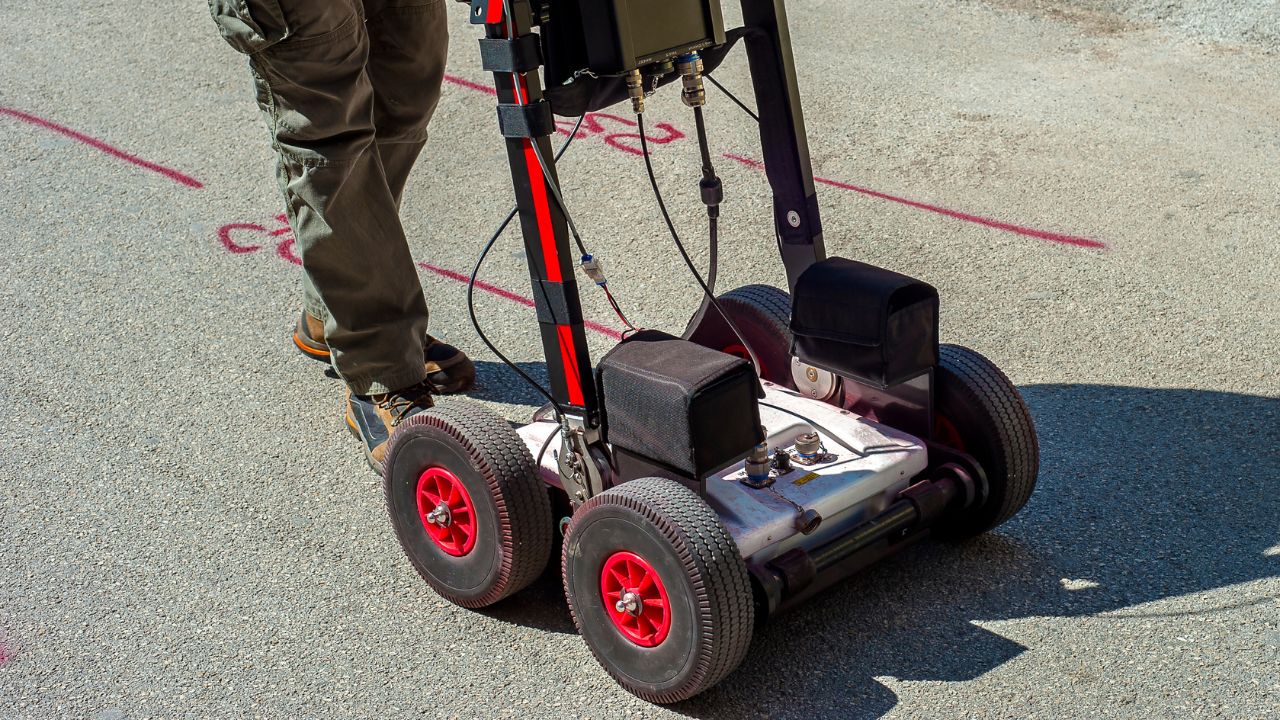
Ground penetrating radar utility locating in San Francisco can be highly accurate when site conditions, equipment selection, operator interpretation, and verification methods are handled correctly. GPR accuracy for utility locating is not defined by a single universal percentage but by how well the technology, process, and environmental factors align for each project.
Dense urban infrastructure, varied soil conditions, and aging utility networks make San Francisco projects especially dependent on multi-method locating approaches. Below, you'll find where ground-penetrating radar precision in SF performs strongest, what factors affect subterranean detection reliability, and how confirmatory techniques improve confidence before excavation or concrete coring.
Key Takeaways
Ground penetrating radar is a non-destructive locating method that transmits radar energy and interprets reflections from buried utilities, voids, rebar, conduits, and other contrasts in material properties. GPR accuracy depends on soil conductivity, moisture, clay content, target depth, utility material, antenna frequency, surface access, congestion, and technician interpretation.
GPR performance depends on utility depth, size, shape, and material. Antenna frequency and scan grid spacing affect results, and the technician's ability to interpret hyperbolas and anomalies while cross-checking with other evidence directly affects accuracy.
| Factor | Effect on GPR accuracy |
|---|---|
| Soil conductivity and moisture | Wet, clay, or saline soils weaken the signal and cut penetration depth. Dry, granular soils allow deeper, clearer returns. |
| Target material | Metallic lines reflect strongly. Plastic and non-conductive lines show only when there is enough contrast with the surrounding soil. |
| Target depth and size | Deeper and smaller targets are harder to resolve and often need physical verification. |
| Antenna frequency | Lower frequencies reach deeper with less detail. Higher frequencies give sharper resolution at shallow depths. |
| Utility congestion | Overlapping old and new lines create cluttered returns that require experienced interpretation. |
| Operator interpretation | Reading hyperbolas and anomalies correctly, then cross-checking other evidence, decides the final accuracy. |
GPR is commonly used to look for metallic and non-metallic utilities depending on conditions. It helps identify utility trenches, voids, changes in backfill, and other anomalies that indicate the presence of buried infrastructure.
GPR is especially valuable for targets that electromagnetic locating may miss, particularly where lines are non-conductive or have no tracer wire. This capability makes GPR concrete scanning particularly useful for detecting pipes, conduits, and embedded features within concrete slabs and structural elements.
GPR is used to locate conduits, rebar, post-tension cables, and embedded objects in concrete before coring or cutting.
In dense urban environments like San Francisco, GPR supports safe excavation by identifying utility corridors and subsurface anomalies where records may be incomplete.
Soil conductivity, moisture content, and clay presence significantly affect radar penetration depth and signal clarity.
Antenna frequency selection creates a trade-off between depth and resolution.
San Francisco projects face unique challenges from dense infrastructure, varied soil composition, limited surface access, and congested utility corridors. These factors require careful site assessment and appropriate technology selection before fieldwork begins.
Clay-rich soils and moisture from fog, rain, or proximity to the bay can reduce radar penetration and signal quality.
Clay or wet and saline conditions can reduce radar penetration significantly compared to dry sandy or rocky soils. High moisture content increases electrical conductivity, which attenuates radar signals and limits effective scanning depth.
In San Francisco's varied terrain, soil conditions can change within short distances due to fill material, proximity to water, and historical land use. Site-specific assessment improves accuracy by matching equipment and scan parameters to actual ground conditions.
Surface access is limited by pavement, concrete, traffic-control requirements, parked vehicles, and dense urban work zones.
Dense San Francisco infrastructure creates congestion from old and new utility networks installed over decades of development. Public-right-of-way coordination, traffic restrictions, and older infrastructure add complexity to locating workflows and require experienced interpretation to distinguish active utilities from abandoned lines.
There is no universal guarantee for exact depth measurement without verification. Depth accuracy and target identification depend on site conditions, utility material, antenna frequency, and the quality of the radar return signal.
Metallic utilities generally produce stronger reflections than non-metallic lines, but concrete-encased conduits and plastic pipes can still be detected when sufficient material contrast exists. Understanding how accurate GPR is for utility detection helps project teams set appropriate expectations and plan verification steps for critical crossings.
GPR is one component of a comprehensive utility locating strategy that includes electromagnetic locating, 811 notifications, records review, and physical verification. Each method has strengths and limitations that make multi-method approaches more reliable than single-technology solutions.
Comparing methods helps project teams understand when to use GPR, when to rely on electromagnetic locating, and when to confirm findings through vacuum excavation.
| Method | Strengths | Limitations |
|---|---|---|
| 811 public marking | Required legal baseline that marks known public utilities. | Does not cover private lines, abandoned lines, or unregistered utilities. |
| Ground penetrating radar | Detects metallic and non-metallic targets, voids, and concrete-embedded features. | Depth and clarity depend on soil, moisture, and interpretation. |
| Electromagnetic locating | Reliable for conductive, traceable lines, with depth estimation. | Weak on non-conductive lines that have no tracer wire. |
| Vacuum excavation and potholing | Visual confirmation of exact location and depth at ASCE 38-02 Quality Level A. | Point-specific and slower; used to verify rather than to scan wide areas. |
811 public utility marking is a necessary legal and safety starting point, but it is not always complete for private lines or abandoned and unknown utilities. The difference between 811 and hiring a private locator becomes critical when project sites include privately owned infrastructure or areas where public records are incomplete.
Private locating and advanced methods are often needed for private utilities, unknown lines, complex sites, concrete slabs, and utility corridors where public markings or records are insufficient.
Electromagnetic locating is strong for conductive utilities and traceable lines but weaker for non-conductive lines without tracer wire. When utilities can be energized or traced with a signal transmitter, electromagnetic methods provide reliable detection and depth estimation.
Electromagnetic locators versus GPR for finding buried power lines demonstrates how combining both technologies addresses a wider range of subsurface targets. GPR complements electromagnetic locating by detecting targets that do not respond to magnetic or electrical signals.
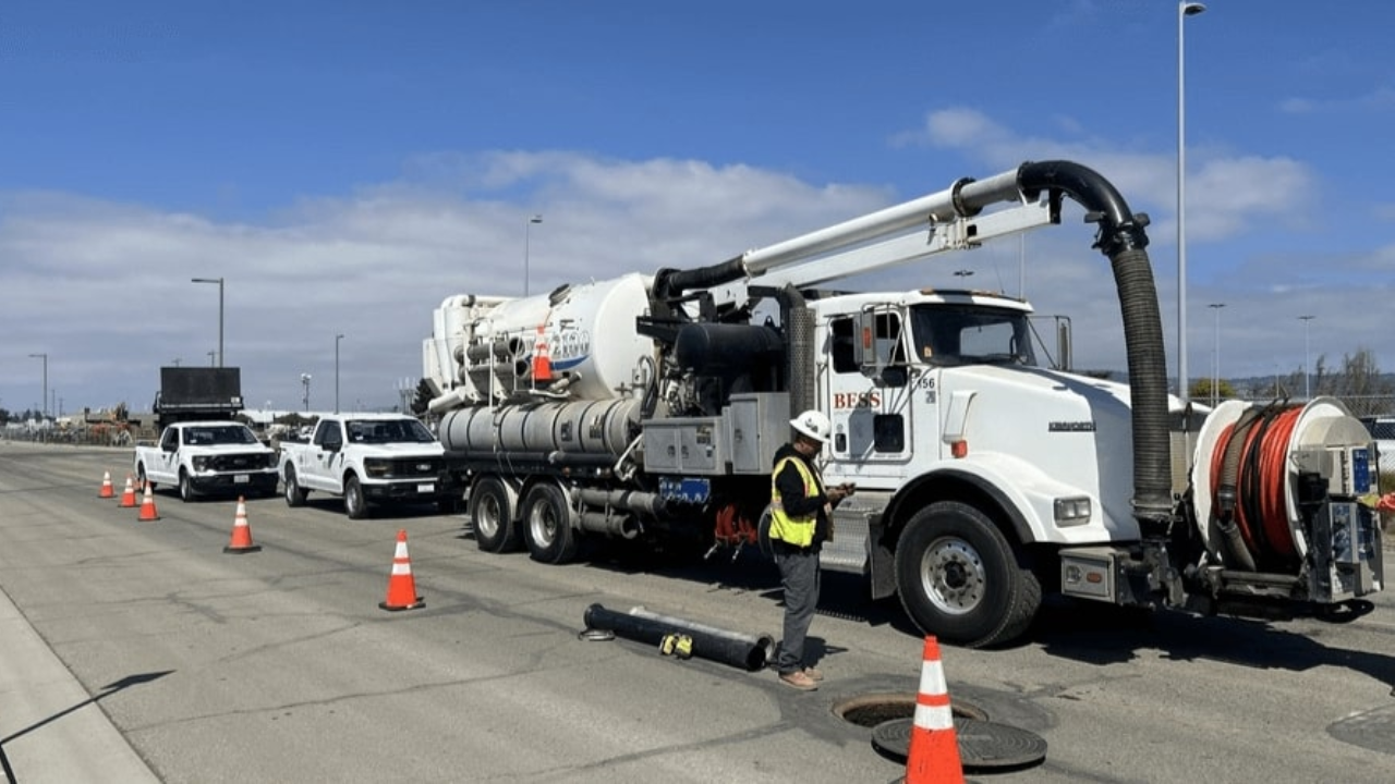
Vacuum excavation and potholing provide visual confirmation at specific points and represent the strongest way to confirm exact location and depth. Vacuum excavation technology for underground utility locating supports ASCE 38-02 Quality Level A data collection by exposing utilities directly.
After utilities are electronically designated, vacuum excavation helps obtain data reliability related to ASCE 38-02 Quality Level A.
San Francisco's dense infrastructure, aging utility networks, and complex subsurface conditions make single-method locating insufficient for high-stakes projects. Combining records research, surface geophysics, surveying, and physical verification reduces risk and improves data confidence.
The Federal Highway Administration defines Subsurface Utility Engineering as an engineering practice that combines civil engineering, surveying, and geophysics.
The SUE process uses technologies including vacuum excavation and surface geophysics to deliver documented utility data for design and construction.
Utility mapping and SUE combine records, geophysics, survey, and potholing into documented utility data with defined quality levels. Why GPR is critical for utility mapping in LA and Bay Area explains how surface geophysics integrates with other data collection methods to support complex urban projects.
Utility records and existing information offer the lowest confidence level for subsurface data. Surface geophysics and field marking improve confidence by adding actual field detection to desktop research.
Surveyed markings improve design usefulness by converting field marks into coordinate-based data that can be incorporated into CAD and GIS systems. ASCE 38-22 SUE standards and utility locating provide the framework for defining data quality levels and appropriate methods for each project phase.
GPR should be treated as a high-value detection and mapping tool, not as a stand-alone guarantee that every underground utility has been found. Its effectiveness depends on conditions, interpretation, and how well findings are cross-referenced with other evidence.
High-confidence depth should be verified when critical to design or construction sequencing. For critical crossings or design-sensitive utility conflicts, potholing and vacuum excavation provide visual confirmation that removes interpretation uncertainty.
California excavation regulations establish minimum standards for subsurface utility identification before digging. These requirements make accurate utility locating a legal and safety obligation, not just a project management preference.
Understanding regulatory requirements helps project teams plan locating scope, budget, and schedule appropriately.
Cal/OSHA Title 8 Section 1541 requires that the approximate locations of subsurface installations such as sewer, telephone, fuel, electric, and water lines must be determined by the excavator before opening an excavation.
Excavation shall not commence until the area has been marked under Government Code Section 4216.2 and positive responses have been received from known owners and operators.
811 is the required legal and safety starting point before excavation in California. The notification system alerts utility owners to mark their facilities and provides excavators with a legally compliant foundation for subsurface investigation.
While 811 notification is mandatory, it does not address privately owned utilities, abandoned lines, or utilities not registered with the notification center. Private locating services fill these gaps to provide more complete subsurface information.
The FHWA notes that the inability to obtain reliable underground utility information has long been a problem for U.S. highway designers.
ASCE 38-22 provides updated standards for investigating and documenting existing utilities. These guidelines establish quality levels ranging from records research through surveyed mapping to physical exposure, giving project teams a framework for specifying appropriate investigation depth.
Certain project conditions require physical verification through vacuum excavation or potholing to achieve the confidence level needed for safe excavation or design finalization.
Critical utility crossings, design-sensitive conflicts, and locations where radar penetration is limited by soil conditions are prime candidates for verification. The importance of vacuum excavation in utility locating becomes clear when project stakes are high, and accuracy requirements exceed what surface geophysics alone can provide.
GPR can sometimes detect non-metallic utilities or their trenches and anomalies, but conditions matter significantly. When radar returns are ambiguous, or soil conditions limit penetration, physical verification removes uncertainty.
Special coordination is required when proposed excavation is within 10 feet of a high-priority subsurface installation.
Utility strikes cause injuries, emergency repairs, change orders, and work stoppages. The cost of preventing strikes through verification is typically far lower than the cost of repairing damage and recovering project schedules.
When excavation will occur near gas lines, high-voltage electrical systems, pressurized water mains, or fiber optic networks, visual confirmation protects both workers and critical infrastructure. Physical exposure eliminates interpretation uncertainty and provides exact location and depth data.
Records and as-built drawings may be incomplete or outdated, especially in older neighborhoods or areas with multiple ownership changes. Asking about record quality helps set expectations for how much additional field investigation will be needed.
What is the target depth range, and are soil conditions likely to limit radar penetration? What utilities are known to exist, and which are potentially unrecorded or abandoned? Will the project require survey-grade mapping, or is field marking sufficient? These questions help scope an appropriate investigation and verification strategy.
Bess Utility Solutions improves project outcomes by combining multiple detection technologies with verification services and documented mapping deliverables. This integrated approach addresses the limitations of single-method locating and provides quality-level data appropriate for design and construction.
With over 29 years of experience and more than 1,000 satisfied clients, Bess delivers comprehensive subsurface investigation services across Northern California and the Bay Area. The company's CPUC-certified MBE/DBE status and ASCE 38-02 compliant processes support public agency and private sector projects requiring regulatory alignment.
Bess integrates ground penetrating radar, electromagnetic locating, and vacuum excavation to address the full range of subsurface targets and verification requirements. This multi-method approach compensates for the limitations of individual technologies and improves detection completeness.
GPR identifies non-conductive utilities and concrete-embedded features, electromagnetic locating traces active conductive lines, and vacuum excavation confirms findings at critical locations. Together, these methods provide layered confidence that reduces the risk of undetected utilities.
Bess Utility Solutions has over 29 years of experience serving the construction, engineering, and utility sectors. The company has completed projects for more than 1,000 satisfied clients across diverse infrastructure applications.
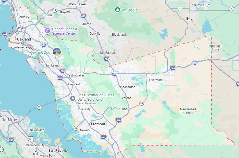
Bess maintains office and contact locations in Hayward, Fresno, Ontario, Sacramento, and Phoenix. The Hayward office serves the Bay Area and can be reached at (408) 988-0101 for project consultation and scheduling.
Bess supports clients in meeting Cal/OSHA excavation requirements, FHWA SUE guidelines, and ASCE quality-level standards. The company's processes align with regulatory expectations for subsurface investigation and utility damage prevention.
Services include 3D subsurface mapping, surveyed utility coordinates, and documented deliverables that integrate into design workflows.
GPR utility locating in San Francisco delivers valuable subsurface intelligence when deployed as part of a systematic investigation strategy. Accuracy depends on matching technology to site conditions, applying expert interpretation, and verifying findings when project stakes require certainty beyond surface detection methods.
Dense urban infrastructure, varied soil conditions, and regulatory requirements make San Francisco projects ideal candidates for multi-method locating that combines records research, surface geophysics, and physical verification. This layered approach provides the confidence needed to prevent utility strikes, support design decisions, and maintain project schedules.
Project teams achieve optimal results by working with experienced providers who understand local conditions and can integrate multiple technologies into documented deliverables. Bess Utility Solutions brings nearly three decades of Northern California experience to complex subsurface investigation challenges, combining GPR, electromagnetic locating, vacuum excavation, and surveying into comprehensive risk reduction workflows.
Bess Utility Solutions combines GPR, electromagnetic locating, potholing, and mapping to reduce risk on San Francisco and Bay Area projects. With over 29 years of experience, CPUC-certified MBE/DBE status, and ASCE 38-02 compliant processes, our specialists help you locate utilities accurately before you dig. Call the Hayward office at (408) 988-0101 or request a quote to schedule your project.
A. GPR accuracy is not a fixed percentage. It depends on soil conditions, moisture, target material, depth, and how well the operator reads the data. In dry, granular soil with metallic targets, results are strong, while wet clay or congested corridors lower accuracy and call for verification. Pairing GPR with electromagnetic locating and potholing gives the most dependable result.
A. Yes. GPR can detect plastic and other non-conductive lines when there is enough contrast between the pipe and the surrounding soil. It also picks up trenches, voids, and backfill changes that signal a buried line. Detection is less certain in wet or clay-heavy ground, so vacuum excavation is used to confirm critical non-metallic crossings.
A. 811 is the required legal starting point and marks known public utilities, but it is not complete. It does not cover private lines, abandoned utilities, or facilities that are not registered with the notification center. Many San Francisco sites hold private infrastructure and incomplete records. Private locating with GPR and electromagnetic methods closes those gaps.
A. Depth range depends on antenna frequency and soil conditions. Lower-frequency antennas reach deeper with less detail, while higher-frequency antennas give sharp resolution at shallow depths. Dry, sandy soil allows deeper penetration than wet clay or saline ground. When a crossing is critical, exact depth should be confirmed by potholing.
A. Verify beyond GPR when excavation is within 10 feet of a high-priority utility, near gas, high-voltage, pressurized water, or fiber lines, or when radar returns are ambiguous. Vacuum excavation and potholing expose the utility for survey-grade confirmation and remove interpretation uncertainty. The cost of this step is far lower than the cost of a utility strike.