Hayward, CA
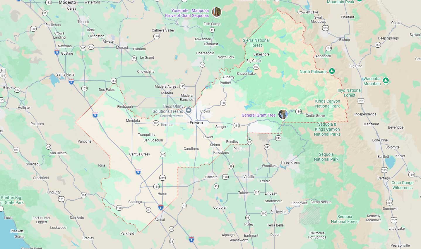
Fresno, CA
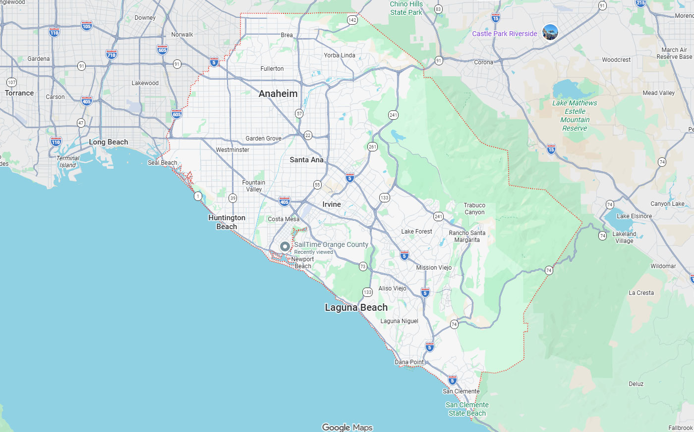
Orange, CA
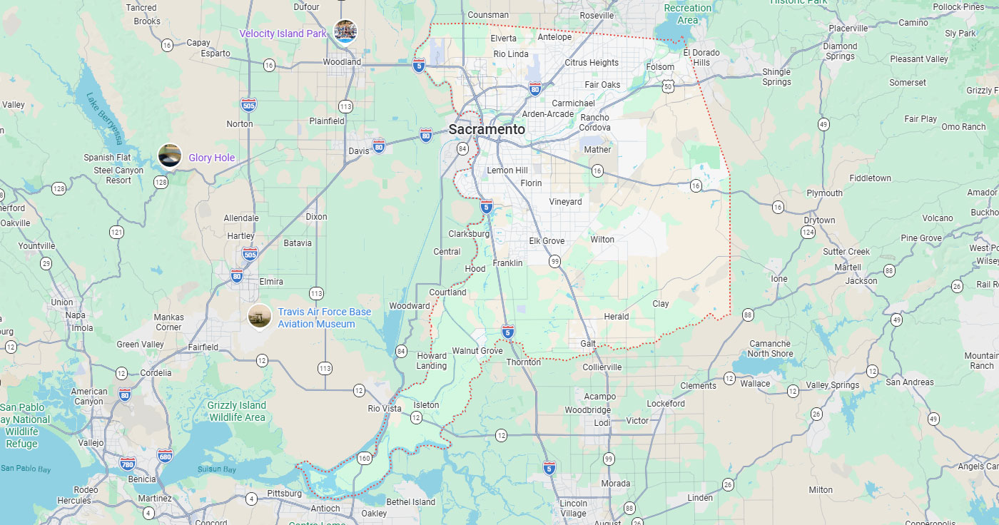
Sacramento, CA
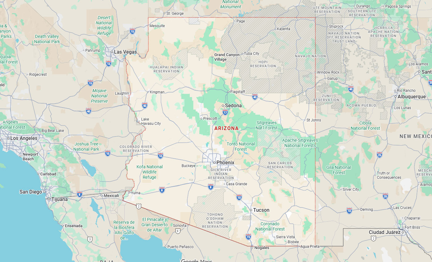
Phoenix, AZ
Underground utility records rarely match field conditions exactly during excavation or design. An experienced utility mapping company reduces risk by selecting the right verification method before incomplete data creates safety hazards, project delays, or cost overruns. The importance of utility mapping expertise extends beyond equipment operation to include quality-level selection, documentation standards, coordination with utility owners, and deliverable formats that support engineering decisions. Projects in dense corridors, municipal rights-of-way, campuses, or industrial facilities require providers who understand when record reviews alone are insufficient and when geophysics, survey-grade mapping, or physical verification become necessary.
Key Takeaways
Utility mapping addresses a problem that does not exist above ground: infrastructure hidden beneath pavement, soil, and structures. Underground utility maps and as-builts are often incomplete, outdated, or marked with disclaimers that shift location responsibility to contractors at construction time.
Traditional project plans may show utilities, but contractors are often responsible for identifying, verifying, and safely exposing utilities before excavation. When paint marks, records, and field reality differ, contractors may increase bid prices for contingency and pursue change orders or claims.
Records degrade over time as systems age and ownership changes. Installations completed decades ago may lack accurate horizontal positions, depth measurements, or material specifications that current projects require for conflict analysis.
Paper as-builts converted to digital formats can introduce coordinate errors. Hand-drawn sketches from field notes may not reflect changes made during construction or post-project modifications by other crews.
Risk allocation determines who absorbs costs when utilities conflict with design assumptions. Planning and design risk emerges when existing utility records are incomplete or inaccurate, forcing engineers to redesign alignments after subsurface conflicts appear.
Budgeting and bidding risk occurs when contractors price uncertainty into proposals. Pre-excavation risk creates safety and compliance exposure if unknown utilities remain undetected, while construction risk materializes when field crews encounter conflicts or mismatched marks that halt progress.
Method selection follows project-specific risk profiles rather than defaulting to a single approach. Record research combined with above-ground feature surveys can satisfy preliminary design when no excavation is planned, but geophysical detection becomes necessary when horizontal positions affect alignment decisions.
Physical verification through vacuum excavation or test holes provides precise depth and utility attributes for critical crossings. Renovation and coring risk demands GPR concrete scanning to avoid embedded features inside concrete before cutting or drilling begins.
Quality levels separate speculation from verified subsurface data. Federal Highway Administration standards define four distinct confidence tiers that help project teams match investigation effort to decision requirements and risk exposure.
Each quality level represents different information sources and field methods. Understanding these distinctions allows buyers to request appropriate locating scope rather than accepting generic mark-outs that may lack the precision needed for design coordination or excavation planning.
Quality Level D information derives solely from existing records or verbal recollections. Quality Level C adds visible above-ground utility features that are surveyed, plotted, and correlated with QL-D information using professional judgment rather than subsurface detection.
Quality Level B uses appropriate surface geophysical methods to identify the existence and approximate horizontal position of subsurface utilities. QL-B data are reproducible by surface geophysics and surveyed to applicable tolerances, providing mapped positions usable in design.
Quality Level A confirms utilities through actual exposure or verification of previously exposed installations using minimally intrusive excavation equipment. QL-A determines precise horizontal and vertical positions, plus physical attributes like material, diameter, and depth that cannot be confirmed remotely.
| Quality Level | Data Source | What It Confirms |
| Quality Level D | Existing records or verbal recollection only | General presence of utilities, with no field verification |
| Quality Level C | Visible above-ground features surveyed and correlated with QL-D records | Approximate correlation between surface features and existing records |
| Quality Level B | Surface geophysical methods such as electromagnetic locating and GPR | Existence and approximate horizontal position, reproducible by geophysics |
| Quality Level A | Physical exposure through vacuum excavation or test holes | Precise horizontal and vertical position, plus material, diameter, and depth |
Decision triggers guide quality-level selection based on observable project conditions. 811 vs private locating considerations become urgent when 811 marks do not match plans or when the site contains old, private, abandoned, or unknown utilities not covered by standard one-call responses.
Design teams cannot proceed confidently without horizontal and vertical utility data when alignments cross congested corridors. Contractors wanting to avoid contingency pricing and change orders request verified utility positions before submitting bids for projects in dense urban areas, airports, campuses, municipal infrastructure, military installations, or operating facilities.
Federal Highway Administration research analyzed 71 projects with combined construction value exceeding $1 billion. The study found $4.62 saved for every $1.00 spent on subsurface utility engineering through reduced claims, redesigns, and delays.
Quality Level B and Quality Level A information cost less than 0.5% of total construction costs. Projects using QL-B and QL-A data achieved 1.9% construction savings compared to projects relying on traditional QL-C and QL-D information alone.
Safe excavation begins with documented utility location before digging starts. The importance of utility mapping in construction extends beyond convenience to address OSHA regulations that make pre-excavation utility determination a legal requirement rather than optional due diligence.
OSHA identifies cave-ins as posing major worker-life risk in trenching and excavation. Utility strikes can trigger cave-ins, explosions, electrocutions, or toxic releases that endanger crews, neighboring properties, and public infrastructure systems serving entire communities.
OSHA 29 CFR 1926.651(b)(1) requires the estimated location of underground installations to be determined before opening an excavation. Utility companies or owners must be contacted within established or customary local response times to establish underground installation locations before actual excavation starts.
OSHA 29 CFR 1926.651(b)(3) requires exact location determination by safe and acceptable means when excavation approaches estimated utility positions. While excavation remains open, underground installations must be protected, supported, or removed as necessary to safeguard employees working in trenches or exposed areas.
| Regulation | Requirement |
| 29 CFR 1926.651(b)(1) | Estimated utility locations must be determined before opening an excavation, with utility owners contacted within customary local response times. |
| 29 CFR 1926.651(b)(3) | Exact utility locations must be determined by safe means when excavation approaches estimated positions, with installations protected while excavation remains open. |
| 811 One-Call Notice | A minimum of two working days notice is required before excavation, with utility companies responding within 24 hours unless state or local law requires more time. |
Documentation creates defensible records showing due diligence was performed before excavation began. If utility companies cannot respond or establish exact locations within required timeframes, employers may proceed with caution using detection equipment or other acceptable means that demonstrate reasonable effort.
Experienced providers document what was detected, what methods were used, and what limitations existed during field investigation. This record supports regulatory compliance reviews and provides evidence that safety protocols were followed when site conditions prevented complete utility identification.
811 is a free national service designed to help avoid buried utility lines and prevent serious accidents and costly repairs. USAN 811 requires a minimum of two working days' notice before excavation in its service area, allowing utility companies time to review records and dispatch locators.
Utility companies must respond within 24 hours unless a longer time is required by state or local law. Coordination failures create gaps where neither utility owners nor excavators have verified subsurface conditions, increasing strike risk during initial digging operations.
811 provides essential damage-prevention services but was not designed to replace engineering-grade utility mapping. Understanding why utility locating is the first step in safe excavation clarifies when standard one-call responses must be supplemented with additional investigation methods to address project-specific requirements.
Private utilities, abandoned infrastructure, and undocumented site installations often fall outside standard 811 coverage. Projects requiring survey-grade coordinates, depth verification, or CAD-compatible deliverables need specialized services beyond temporary paint marks that fade before construction begins.
811 mark-outs are a damage-prevention baseline, not a complete engineering-grade utility map. Member utilities mark facilities they own and maintain, but private water lines, site electrical distribution, abandoned conduits, and internal campus infrastructure may not appear in standard responses.
Paint marks indicate approximate horizontal positions at the ground surface without depth information. Marks placed weeks before excavation can fade, wash away, or become obscured by traffic, weather, or site activity before crews arrive.
Private and site utilities, abandoned lines, and unknown conduits may not be covered by the standard one-call 811 response. Buildings, campuses, industrial facilities, and large properties often contain internal distribution systems installed by previous owners without filing as-built with public utility providers.
Abandoned utilities remain physically present even after service termination. Selecting an experienced mapping firm includes verifying whether the provider can identify facilities outside standard 811 coverage using records research, geophysical detection, and coordination with property owners who may retain historical construction documentation.
Design-stage mapping needs, depth verification, GPR concrete scanning, and 3D mapping require specialized locating beyond standard one-call response. Integrating utility mapping data with civil engineering and architectural plans demands survey-grade coordinates and deliverable formats compatible with CAD, GIS, or building information modeling workflows that paint marks cannot provide.
Projects requiring Quality Level B or QL-A information need surface geophysics or physical verification. Experienced utility services include electromagnetic locating, ground-penetrating radar, vacuum excavation, and surveying to produce maps usable throughout project planning, bidding, and construction phases.
Technology selection depends on site conditions, utility types, and project requirements. The technology behind underground utility locating includes multiple detection methods, each with distinct capabilities and limitations that experienced providers understand before mobilizing equipment.
Method interpretation matters as much as equipment operation. Geophysical data contains anomalies, interference, and ambiguous signals that require trained analysis to separate actual utilities from false positives caused by rocks, voids, or subsurface debris.
GPR is ground-penetrating radar used for non-conductive features, voids, concrete scanning, and site-specific subsurface anomalies. GPR transmits electromagnetic pulses into the ground and records reflections from buried objects, layer boundaries, and density changes that appear as hyperbolic patterns in radar profiles.
Electromagnetic locating is used for conductive utilities where signal conditions allow. Active locating applies signals to utilities through direct connection or induction, while passive locating detects existing fields around energized power lines or cathodic protection systems that emit detectable frequencies.
Method selection begins with understanding what utilities exist and what site conditions affect detection. Metallic water, gas, and sewer lines respond to electromagnetic signals if corrosion or coatings do not block conductivity, while non-metallic PVC, concrete, or fiber-optic lines require GPR or physical exposure.
Experienced providers recognize when conditions prevent reliable detection. Deep utilities, congested corridors with overlapping signals, saturated soils, or metallic surface materials create interference that limits both electromagnetic and GPR effectiveness, requiring alternative approaches or physical verification.
GPR versus electromagnetic utility locating methods each address different detection challenges with known constraints. GPR has limitations based on soil, depth, moisture, and congestion that affect penetration and resolution, but it can help detect certain buried features and anomalies when site conditions are suitable.
Electromagnetic locating depends on signal conditions, including utility material, coupling, interference, and access points for signal application. Vacuum excavation technology for underground utility locating provides visual confirmation and precise depth measurement when detection methods alone cannot resolve utility conflicts or verify attributes needed for design decisions.
Deliverables transform field investigation into usable engineering data. Temporary paint marks serve damage prevention, but design teams need permanent records with coordinates, quality-level designations, and formats compatible with project planning tools used throughout the infrastructure lifecycle.
Documentation standards separate professional utility mapping from basic mark-outs. Survey-grade accuracy, CAD-compatible formats, and clear communication of uncertainty allow engineers to make informed decisions about alignment, depth, clearance, and conflict resolution before construction bids are solicited.
QL-B data are surveyed to applicable tolerances and reduced onto plans. Horizontal positions obtained through surface geophysics are plotted with coordinate accuracy matching project survey control, allowing direct comparison with proposed alignments and existing topographic features.
QL-A information is surveyed and reduced onto plan documents with both horizontal and vertical positions. Physical verification through vacuum excavation or test holes determines precise depth, material, diameter, and condition that cannot be inferred from detection alone, providing complete utility attributes needed for construction planning.
CAD files, GIS shapefiles, and PDF plan sheets serve different project phases and stakeholder needs. Engineers working in AutoCAD or Civil 3D require DWG files with utilities plotted on separate layers distinguished by type, owner, and quality level for efficient design conflict analysis.
Field crews need large-format plan sheets or mobile device compatibility for on-site reference. Survey coordinates allow staking or GPS-guided equipment to locate utilities with precision that paint marks cannot provide when initial marks fade or become obscured during site preparation activities.
Honest limitation disclosure prevents overconfidence in incomplete data. Experienced providers identify areas where site conditions prevented detection, where record conflicts remain unresolved, or where additional investigation is recommended before excavation begins in high-risk zones.
Conflict notation highlights locations where detected utilities differ from record positions or where multiple utilities occupy the same corridor. Quality-level designation on deliverables shows which utilities were physically verified versus detected remotely, allowing project teams to request additional verification for critical crossings before finalizing design or excavation plans.
Selection criteria should evaluate capability, process, and project-specific experience. Generic questions about years in business or equipment types matter less than understanding how the provider will match investigation methods to the project's risk profile and deliverable requirements.
Asking detailed questions reveals whether the company understands quality-level selection, coordinates with utility owners, documents limitations, and has handled similar project types. Vague answers or reluctance to discuss method limitations can indicate inexperience with complex utility environments.
Method selection should follow risk assessment rather than default to a single approach. Experienced providers ask about project phase, excavation plans, existing utility knowledge, site access, soil conditions, and deliverable requirements before proposing investigation scope.
Quality-level discussion indicates understanding of when record research alone satisfies preliminary needs versus when geophysics or physical verification become necessary. Providers who recommend Quality Level A for every situation may oversell services, while those defaulting to QL-D for complex projects may underestimate risk.
Private utility coverage reveals whether the provider goes beyond standard 811 mark-outs. Site electrical distribution, private water services, abandoned infrastructure, and undocumented installations require records research, property owner coordination, and detection methods suited to non-metallic or deeply buried lines.
Difficult detection scenarios test provider experience with congested sites, interference, depth limitations, and site conditions that prevent standard methods. Honest discussion of detection limitations and backup verification methods demonstrates realistic understanding of technology constraints.
Project-type experience matters because utility environments vary significantly across applications. Dense urban corridors, airport infrastructure, campus utilities, municipal rights-of-way, military installations, and operating industrial facilities each present distinct challenges in access, coordination, congestion, and safety protocols.
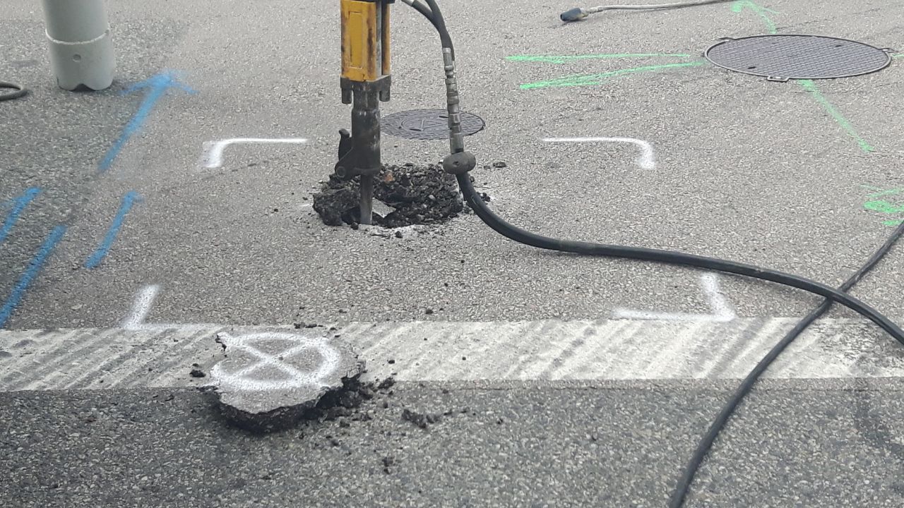
References from similar project types provide confidence that the provider understands stakeholder coordination, documentation standards, and field conditions. Professional vacuum excavation and potholing services become critical in environments where traditional excavation methods risk damage to adjacent utilities or operating systems that cannot tolerate service interruptions.
Experience translates into method selection, quality-level understanding, documentation practices, and realistic communication about detection limitations. Providers with decades of project history across diverse utility environments recognize patterns, understand when standard approaches will fail, and know how to coordinate multiple investigation methods to address project-specific risk.
Bess Utility Solutions has over 29 years of experience helping project teams reduce underground utility risk before it becomes a field problem. Services including utility locating, GPR, concrete scanning, vacuum excavation, utility mapping, surveying, and 3D subsurface modeling support projects requiring more than basic mark-outs to achieve design confidence and excavation safety.
Selecting a utility mapping company based on experience reduces risk across planning, bidding, construction, and asset management phases. Verified utility data prevents costly redesigns, supports accurate bid estimates, enables safe excavation, and provides accurate as-builts for future infrastructure maintenance and expansion projects.
Underground utility risk drops when the locating method matches your project's risk profile from the start. Bess Utility Solutions brings 29 years of experience, CPUC-certified MBE/DBE credentials, and ASCE 38-02-compliant practices to projects across California, Arizona, and Nevada. Our team helps you select the correct quality level, coordinate with utility owners, and document findings your engineers and field crews can rely on. Request a free quote and discuss the utility mapping approach for your next project.
A. 811 locates identify only member utility facilities using paint marks and lath, typically without depth data or documentation for private lines. Private utility mapping surveys add geophysical detection, physical verification, and quality-level classification that produce a documented, engineering-grade dataset. Private surveys also cover utilities that fall outside standard one-call coverage, including abandoned lines and site-owned infrastructure. Projects that need CAD-compatible deliverables or design-stage data typically require both services.
A. Federal Highway Administration research found that Quality Level B and Quality Level A investigations generally cost less than 0.5% of total construction costs. The same research documented $4.62 in savings for every $1.00 spent on subsurface utility engineering across 71 analyzed projects. Savings come from fewer redesigns, reduced change orders, and fewer claims tied to unexpected utility conflicts. Project teams often recover the investigation cost many times over during construction.
A. Quality Level B satisfies most design coordination needs by confirming the existence and approximate horizontal position of utilities through surface geophysics. Quality Level A becomes necessary for critical crossings, tie-ins, or areas with congested or conflicting utilities, since it verifies exact horizontal and vertical position through physical exposure. GPR concrete scanning and pothole verification are common ways providers reach Quality Level A. Contractors preparing final bids for high-risk crossings typically request Quality Level A to remove pricing contingency.
A. A usable deliverable documents quality-level classification for every located utility alongside horizontal and, where applicable, vertical coordinates. CAD files, GIS shapefiles, or PDF plan sheets should match the software your design and field teams already use. Deliverables should also flag areas of uncertainty, record conflicts, or utilities that could not be verified within the project scope. Providers who supply this level of detail give engineers usable data instead of unverified paint marks.
A. Experienced providers combine record research, property owner coordination, and geophysical detection to identify private, abandoned, or undocumented utilities that fall outside standard one-call responses. Vacuum excavation and GPR concrete scanning confirm what detection alone cannot resolve, including depth and material. This approach matters most on campuses, industrial facilities, and large private properties where internal utility systems were never filed with public agencies. Bess Utility Solutions applies this combined approach on California, Arizona, and Nevada projects that need coverage beyond 811.