Hayward, CA
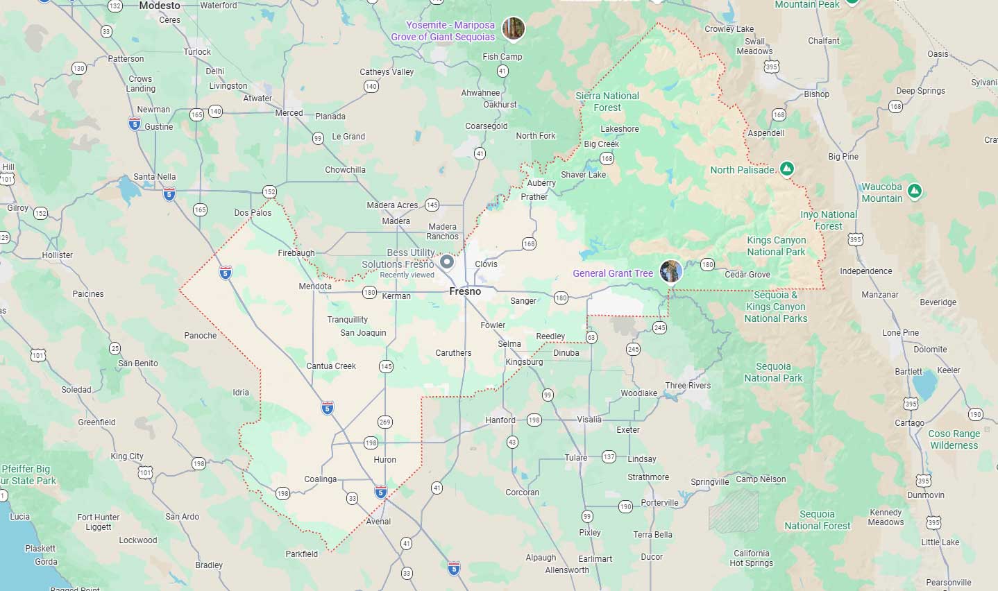
Fresno, CA
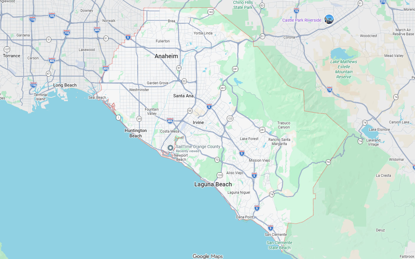
Orange, CA
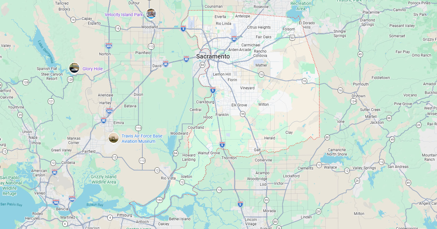
Sacramento, CA
Phoenix, AZ
Key Takeaways
When embarking on a civil engineering or architectural project, accurate utility mapping is essential for smooth planning and execution. Utility data integration, such as subsurface utility mapping, plays a crucial role in avoiding costly delays, potential conflicts, and rework. By leveraging high-tech utility mapping solutions and underground locating methods in Arizona, professionals can gain precise insight into existing utility infrastructure, ensuring that designs are both practical and efficient.
This article will explore how utility mapping, including surveying and mapping services, enhances civil engineering and architectural workflows. It will also examine the importance of utility locating services in preventing unforeseen issues during the design and construction stages.
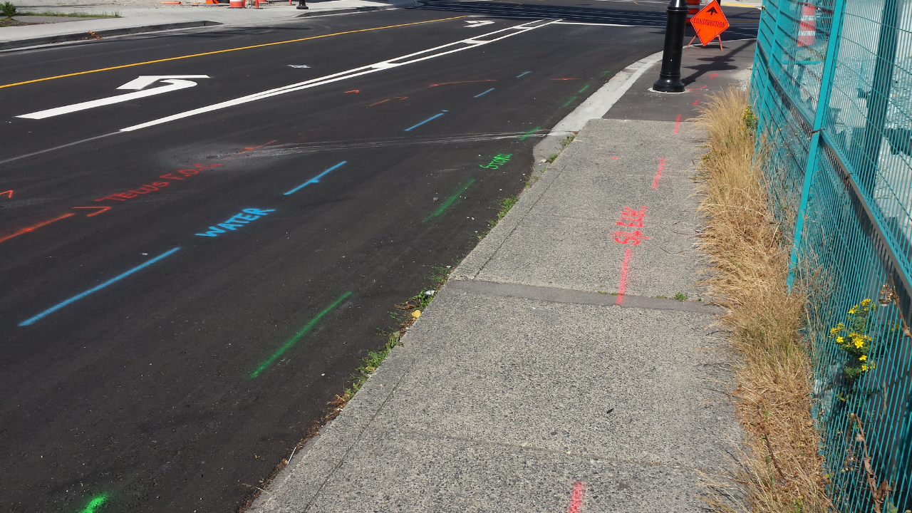
Utility mapping provides critical information about the location of existing underground utilities, such as water pipes, electricity cables, and gas lines. For civil engineers and architects, this data is vital when designing infrastructure that must accommodate or work around these utilities.
With subsurface 3D mapping, architects can make informed decisions about the placement of structures, road layouts, and utilities. By integrating this data into their design plans, they can identify potential conflicts early, leading to a more efficient design process. In civil engineering, this proactive approach minimizes the risk of costly delays or rerouting work during construction.
For example, precise utility maps help to avoid accidental damage to existing utilities. By using utility locating services, engineers and architects gain a detailed understanding of potential utility conflicts. This allows for a smoother collaboration between different project teams, leading to the creation of detailed, accurate plans.
Additionally, the integration of 3D models and topographical maps into utility mapping ensures that designs reflect not only the location of utilities but also their depth and alignment. This results in more accurate and reliable plans, reducing errors in the final construction phase.
Utility mapping directly influences the planning stages of civil engineering projects. It provides critical insights that allow engineers to develop a clearer understanding of the current utility infrastructure, helping them plan their designs more effectively. With access to comprehensive utility data, civil engineers can prevent clashes between new developments and existing infrastructure.
A primary benefit of utility mapping is that it enables civil engineers to anticipate potential utility conflicts before they arise. By detecting and addressing these issues early, engineers can create smoother, more efficient road layouts and designs. This ultimately saves time and resources, contributing to a more successful and cost-effective project.
Furthermore, utility mapping data assists in making informed decisions regarding the relocation of utilities when necessary. This reduces the chances of encountering unexpected roadblocks or regulatory hurdles, ensuring that projects stay on track and align with federal standards.
In architecture, utility mapping is just as important as it is in civil engineering. Accurate utility data integration allows architects to design spaces that are functional, safe, and aligned with the overall project vision. By incorporating mapping and 3D models into the planning process, architects can visualize the interaction between utilities and building elements, ensuring that the design is feasible from a technical standpoint.
Architectural utility design relies heavily on understanding the intricacies of existing underground infrastructure. A thorough survey of utilities provides the data needed to make informed decisions about the building layout, such as the placement of electrical systems, HVAC units, and plumbing. Without this crucial information, architects risk designing spaces that conflict with the existing utility framework, leading to costly redesigns or delays.
Surveying and mapping play an integral role in gathering the utility data needed for successful design and planning. High-quality topographic maps and utilities land survey drafting services offer accurate, up-to-date information about existing infrastructure. With this data, engineers and architects can confidently plan their designs while minimizing risks.
The use of specialized equipment and techniques for utility locating, such as RFID marking and underground locating detection, ensures that utility data is precise and reliable. This detailed data forms the foundation for creating comprehensive 3D models that help visualize potential conflicts and plan for the best possible design solutions.
Additionally, the vast data collection from utility mapping allows for volume calculation and detailed planning, reducing the likelihood of errors in both design and construction. The high level of expertise in utility design also ensures that engineers and architects can work together to create designs that meet both technical and aesthetic requirements.
By incorporating utility mapping data into the planning process early on, civil engineers and architects can identify potential issues before they become major problems. This proactive approach helps avoid costly delays by ensuring that designs account for existing utilities and infrastructure.
Detailed utility data allows engineers and architects to modify their plans to avoid conflicts with underground utilities. In turn, this minimizes the risk of expensive disruptions during construction. Additionally, using utility locating services helps project teams to better understand potential issues, enabling them to take timely actions and make informed decisions that keep the project on schedule.
Furthermore, utility mapping provides the necessary information to meet construction requirements and comply with federal standards. By understanding the technical aspects of utility design, engineers and architects can implement solutions that adhere to industry regulations, ensuring that the project progresses smoothly and efficiently.
When it comes to civil engineering and architectural projects, utility mapping is not just a helpful tool—it's a necessity. Accurate utility data integration provides valuable insights that help you plan, design, and execute your project with confidence. By addressing potential conflicts early and hiring a reliable utility locating company, you can avoid costly delays and ensure the success of your project.
At Bess Utility Solutions, we offer comprehensive utility mapping services, including subsurface utility mapping and surveying, to help you navigate the complexities of your project. Our team of experts ensures that your designs are backed by accurate, up-to-date utility data, so you can proceed with your plans smoothly.
Contact us today to learn how our utility mapping and locating services can enhance your project's success.