Hayward, CA
Fresno, CA
Orange, CA
Sacramento, CA
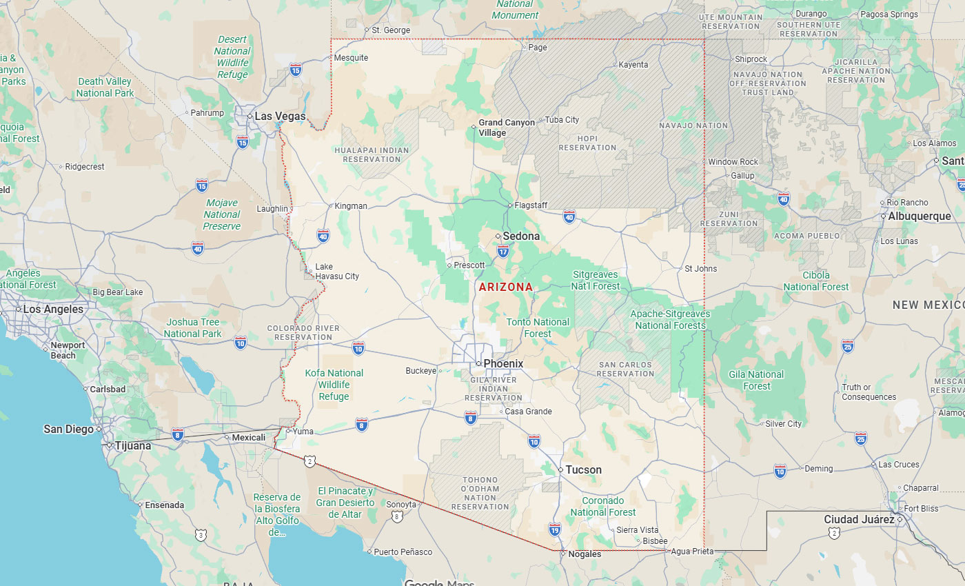
Phoenix, AZ
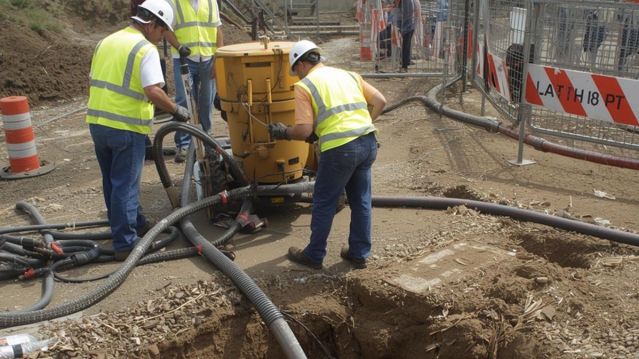
When underground utility locating marks appear on your construction site, the work isn't finished; it's just beginning. Those surface marks represent approximations with 18-24 inch tolerance zones, not precise locations. Before breaking ground, potholing provides the visual confirmation that transforms uncertainty into certainty, preventing the 509,000 annual excavation damage events that cost the industry billions in repairs, delays, and liability.
Key Takeaways
Potholing is a non-destructive excavation method that uses vacuum technology to expose underground utilities for visual verification. After preliminary utility locating identifies approximate positions using electromagnetic or ground-penetrating radar methods, potholing confirms exact location, depth, material, size, and condition. This visual confirmation is critical because geophysical methods carry 18-24 inch tolerance margins and cannot detect certain materials or work reliably in all soil conditions.
With 509,000 excavation damage events occurring annually in the U.S., the stakes are high. Relying solely on locate marks creates significant strike risk. Potholing eliminates this uncertainty, preventing catastrophic failures, including explosions, electrocutions, service disruptions, and worker injuries that cost between $5,000 and $50,000+ per incident.
Potholing follows a systematic workflow starting with site assessment and utility record review. After calling 811 and marking approximate locations with GPR or electromagnetic locators, crews deploy vacuum excavation equipment at strategic points. The process uses either hydro excavation, high-pressure water that breaks soil into slurry, or air excavation using compressed air to keep soil dry for immediate backfill.
Once debris is vacuumed into the truck's debris tank, the exposed utility undergoes measurement and documentation. Survey-grade GPS records precise horizontal and vertical coordinates while technicians document material type, dimensions, and condition. This data feeds directly into engineering drawings, 3D models, and GIS systems for accurate project planning.
Electromagnetic locators cannot detect non-conductive utilities without tracer wire, and (Ground‑Penetrating Radar) GPR performance degrades in clay, shale, and saline soils. Both methods have depth limitations, EM typically reaches only 10-15 feet. State and federal regulations mandate 18-24 inch tolerance zones around locate marks, creating uncertainty areas up to 38 inches wide for a 2-inch pipe. Within these zones, hand digging or potholing is required to prevent strikes.
Beyond regulatory compliance, potholing delivers measurable financial benefits through effective risk mitigation. Projects using SUE and potholing see 60-80% fewer utility-related change orders. The cost of potholing ($500-$2,000 per hole) is minor compared to strike incidents ($5,000-$50,000+). Studies show $4.62 return for every dollar spent on SUE, with some projects achieving $206 per dollar invested. At 2-5% of total project budget, SUE prevents the 10-30% cost overruns typical of projects with unforeseen utility conflicts.
Potholing vs. Ground Penetrating Radar
| Criteria | Potholing (SUE Level A) | GPR (SUE Level B) |
| Accuracy | Sub-inch; exact 3D coordinates | 2-3 feet tolerance |
| Visual Confirmation | Direct observation | Signal interpretation only |
| Depth Information | Precise vertical measurement | Estimates; soil-dependent |
| Material ID | Confirms exact material | Cannot identify composition |
| Condition Assessment | Reveals wear, corrosion, damage | No condition data |
| Soil Limitations | Works in all types | Poor in clay, shale, saline soils |
| Cost | $500-$2,000 per hole | Lower upfront; may need potholing |
| Best Use | Final verification, conflict points | Preliminary mapping, large areas |
Potholing vs. Electromagnetic Locating
| Criteria | Potholing | EM Locating |
| Detection | All materials | Conductive only; needs tracer wire |
| Accuracy | Sub-inch precision | 18-24 inch tolerance required |
| Depth Range | Any depth | 10-15 feet typical limit |
| Operator Skill | Minimal interpretation | Highly skill-dependent |
| Environmental Factors | Consistent performance | Affected by metal, moisture, EMI |
| Data Quality | ASCE Level A (highest) | ASCE Level B (designating) |
| Equipment | Vacuum trucks, specialized tools | Electromagnetic receivers |
| Ideal Use | Critical conflicts, final verification | Initial positioning, large-scale mapping |
Potholing has higher per-location costs and is time-intensive for broad surveys, making strategic site selection essential. Focus on congested corridors, utilities deeper than 4 feet, boring paths, and areas with map uncertainty. While surface methods efficiently cover large areas during preliminary phases, utility potholing services provide the definitive data needed before breaking ground.
Potholing relies on two primary vacuum excavation methods, each suited to specific soil conditions and project requirements. Hydro excavation uses high-pressure water to break down soil into slurry, which is then vacuumed into a debris tank. This method excels in dense or frozen ground where air excavation lacks cutting power. The tradeoff: wet slurry cannot be immediately reused for backfill, requiring disposal or drying time.
Air excavation offers a gentler alternative, using compressed air to loosen soil particles before vacuum removal. This preserves the soil's dry state for immediate backfill and reduces damage risk when exposing delicate utilities. Air methods work best in friable soils like sand and loam. Method selection depends on soil density, utility sensitivity, environmental conditions, backfill requirements, and project timelines.
Safe potholing starts with regulatory compliance. OSHA 29 CFR 1926 Subpart P mandates determining exact utility locations through safe means before excavation. Call 811 for utility marking, obtain necessary permits, and verify adherence to state tolerance zone regulations. SAE J3107 establishes equipment safety requirements, while proper protective gear, helmets, high-visibility clothing, and rated work boots, is non-negotiable. Secure work zones with barriers and maintain equipment according to manufacturer specifications.
Efficiency comes from strategic planning. Implement a two-phase workflow: use geophysical methods (SUE Level B) for broad mapping, then deploy potholing (SUE Level A) at critical conflict points. Prioritize congested corridors, utilities deeper than 4 feet, boring paths, and areas with unreliable maps. Document findings with survey-grade GPS and integrate data directly into engineering drawings, 3D models, and GIS systems. This focused approach maximizes ROI while minimizing unnecessary excavations.
Training requirements cover equipment operation per SAE J3107, OSHA excavation safety (29 CFR 1926 Subpart P), and ASCE 38-22 SUE standards. Crews need proficiency in GPS surveying, soil type identification, utility recognition, and documentation protocols including photography and condition assessment. Emergency response and hazard recognition training complete the safety foundation.
Soil composition directly affects method selection and success rates. Rocky ground demands specialized cutting tools or hydro excavation's water-cutting power. Frozen soil requires high-pressure water systems since air excavation lacks sufficient force. Clay, shale, and saline soils compound challenges by reducing GPR performance during preliminary locating, making the approximate utility positions less reliable even before potholing begins.
Urban environments present access and congestion issues. Dense infrastructure limits equipment positioning, while closely spaced utilities require extreme precision to avoid strikes during exposure. Maps prove notoriously unreliable, discrepancies between recorded and actual positions are common due to outdated records and lack of real-time updates. Unmarked or abandoned utilities discovered mid-excavation force workflow adjustments and additional verification steps.
Equipment failures disrupt timelines. Vacuum truck components, rotary vane pumps, shutoffs, hydraulic systems, require regular maintenance to prevent breakdowns. Hose blockages, compressor failures, and debris tank capacity limitations all halt operations. Weather compounds difficulties: rain creates access problems in muddy conditions, while electromagnetic interference from nearby metal objects degrades EM locator accuracy during initial surveys.
Each challenge underscores why potholing remains essential despite higher costs, surface methods alone cannot deliver the certainty needed to prevent costly strikes.
Potholing, also known as daylighting or vacuum excavation, is a non-destructive excavation method used to accurately locate, verify, and expose underground utilities such as gas, water, electrical, and fiber-optic lines before major construction activities begin. It serves as a critical safety practice that reduces reliance on often outdated or inaccurate utility maps and helps prevent hazardous and costly utility strikes. Modern best practices typically employ vacuum excavation techniques (hydro or air), which safely uncover buried infrastructure while minimizing soil disturbance, protecting existing utilities, and improving overall worker safety.
Potholing provides accurate as-built data to update notoriously unreliable utility maps, enabling conflict-free design in complex urban environments with dense subsurface infrastructure. It supports design-build projects requiring accurate utility information from project outset, creates comprehensive 3D subsurface models integrated with engineering drawings and GIS, and facilitates informed decision-making for utility relocation design and accommodation policies.
Small-scale projects benefit from strategic potholing at critical points, preventing even single utility strikes that justify the investment. Large-scale projects see comprehensive SUE (2-5% of budget) , prevent budget overruns of 10-30% and reduce change orders by 60-80%. In urban dense infrastructure environments, higher per-location costs are offset by preventing service disruptions and avoiding work stoppages. Federal Highway Administration studies confirm an average $4.62 return per dollar, with optimal implementations achieving $206 return.
SUE Level A becomes critical when conflict matrices identify numerous potential clashes in congested corridors where the subsurface is crowded with multiple utility types. It's required in high-risk zones with concentrations of critical utilities like gas and high-voltage electrical lines. Potholing prevents cascading failures in interconnected urban utility networks, reduces emergency response incidents, and eliminates public safety hazards in populated areas.
Potholing answers the critical question definitively: Why is visual verification essential after utility locating? Geophysical methods provide valuable preliminary mapping but carry 18-24 inch tolerance margins, 10-15 foot depth restrictions for EM locating, and performance degradation in challenging soils. With 509,000 annual excavation damage events, 13.46% from insufficient clearance, relying on approximations creates unacceptable risk. Potholing achieves ASCE 38-22 Quality Level A through direct visual confirmation, eliminating uncertainty and preventing catastrophic strikes that protect workers, the public, and essential infrastructure. The financial case is equally compelling: $500-$2,000 per pothole versus $5,000-$50,000+ per strike incident.
Projects implementing comprehensive SUE see 60-80% fewer utility-related change orders and achieve returns of $4.62 to $206 for every dollar invested. Modern construction demands the accuracy that potholing provides. By adhering to OSHA standards, implementing the two-phase locate-then-pothole workflow, and focusing on high-risk conflict zones, project stakeholders transform subsurface utility management from liability into a strategic advantage.
Ready to protect your project from costly utility strikes? Contact Bess Utility Solutions today for expert potholing and SUE services that deliver precision, safety, and proven ROI.