Hayward, CA
Fresno, CA
Orange, CA
Sacramento, CA
Phoenix, AZ
Key Takeaways
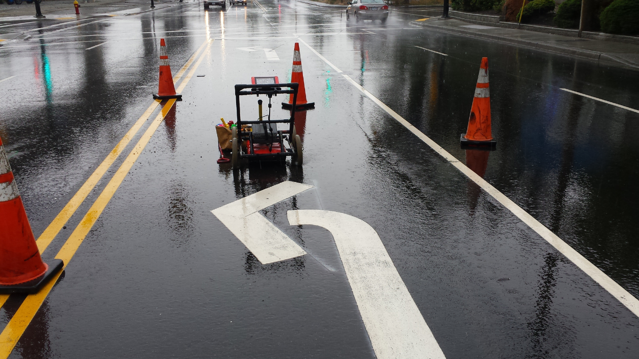
Ground Penetrating Radar (GPR) has transformed the way we detect and map underground structures. From finding pipes and cables to scanning for buried artifacts, GPR provides valuable information without disturbing the ground.
Its non-invasive nature makes it a favorite in fields like construction, utility locating, and archaeology. But as technology advances, GPR is also evolving, with new features and capabilities on the horizon.
The future of GPR looks promising. Engineers and scientists are working to make it more precise, faster, and versatile. These advancements are aimed at improving the depth, accuracy, and usability of GPR in various industries.
Whether it's mapping dense urban areas or identifying fine details in remote sites, GPR innovations are opening new possibilities.
This blog explores the exciting trends shaping the future of GPR. We’ll look at emerging technologies that promise to make GPR more efficient and effective. By understanding these trends, you can see how GPR will continue to enhance safety and efficiency in underground mapping.
As GPR technology advances, several new trends are emerging. These innovations are shaping how GPR is used and improving its performance across different applications.
New developments aim to increase the depth GPR can reach. Currently, GPR is effective up to a few meters, but future models may go even deeper. This will help in mapping deeper structures, like old foundations or water reservoirs.
High-resolution GPR models are being developed to give a clearer, more detailed picture of what’s underground. Improved resolution means that smaller items, like cables and fine cracks, can be detected more easily, leading to more accurate maps.
Many future GPR systems will integrate GPS technology. This allows for precise location tracking, helping teams create exact maps with coordinates. For large areas, this combination is invaluable, making mapping faster and more accurate.
Artificial Intelligence (AI) and Machine Learning are changing how GPR data is analyzed. These tools can quickly interpret radar data, identifying patterns and flagging anomalies. This makes data analysis faster and more accurate, especially on large projects.
GPR is becoming more portable, with wireless units that allow for easy mobility. These new designs mean GPR equipment can be used in hard-to-reach places. Portable units make it easier to scan areas like tunnels, mines, and rugged landscapes.
Better signal processing technology means GPR can filter out noise more effectively. This results in clearer images, even in challenging conditions, like rocky or highly conductive soils. This improvement is expected to expand GPR’s usability across more terrains.
3D GPR imaging is an emerging trend. It allows for multi-layer visualization, showing structures in three dimensions. This technology is useful for complex sites, where it’s important to understand the depth and layers of buried objects.
Some new GPR models are being designed to connect with smartphones or tablets. This makes data access and analysis easier, as users can view scans and interpret data directly on their devices. For fieldwork, this convenience speeds up the inspection process.
Keeping up with GPR trends has many benefits, especially for professionals who rely on accurate underground mapping. Here’s how staying updated can be helpful:
GPR can speed up project timelines. With better tools, crews can complete scans faster and interpret data more quickly. This keeps projects on schedule and improves workflow.
New GPR trends and underground utility locating services are focused on improving accuracy. High-resolution imaging and AI analysis provide clearer data. This means fewer errors and more reliable maps, which are essential for safe construction and utility locating.
Advanced GPR models can reduce costs by lowering the need for re-scans and minimizing digging errors. Fewer mistakes mean less need for costly repairs, keeping projects within budget.
With clearer images and better depth detection, GPR and utility locating services reduce the risk of hitting unknown objects. This makes sites safer for workers, as they have a better understanding of what lies beneath them.
Companies that stay informed about GPR trends have a competitive edge. By using the latest technology, they can offer better services and attract more clients. Being at the forefront of innovation can set a business apart.
Advan+ced GPR technology and concrete scanning open doors to new types of projects. For example, deeper and more precise scanning allows companies to take on projects that require complex underground analysis, expanding their service range.
By reducing unnecessary digging and enabling accurate mapping, GPR promotes sustainability. Fewer digs mean less environmental impact, which is beneficial for projects in sensitive areas.
At Bess Utility Solutions, we’re committed to using the latest GPR technology to deliver top-quality results. Our team stays updated with all recent GPR innovations, ensuring that we provide accurate, efficient, and safe underground mapping for every project.
We understand that each site has unique needs, and we’re here to meet them with the best tools and expertise available.
When you work with us, you’re partnering with experts who prioritize safety and precision. Whether you’re planning a new construction project or need utility mapping for renovations, we’re here to support you.
Contact us to learn more about our GPR services and how we can help with your next project in Northern California and Arizona
 Bess Utility Solutions


