Hayward, CA
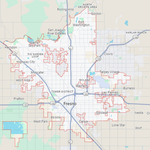
Fresno, CA
Orange, CA
Sacramento, CA
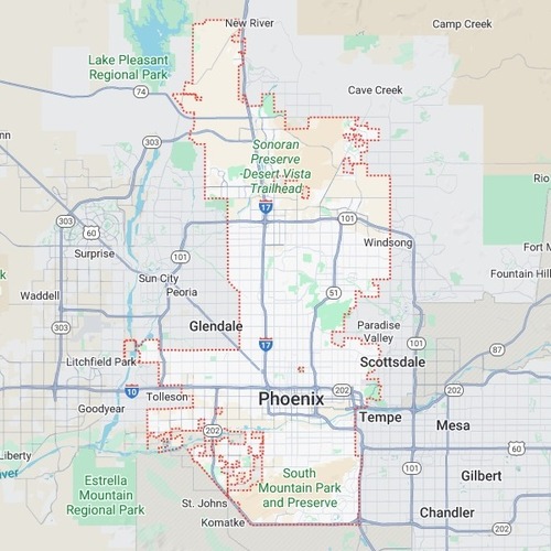
Phoenix, AZ
Key Takeaways
When planning construction or digging projects, knowing what lies underground is essential. Unseen pipes, wires, and structures can cause major risks if disturbed. This is where utility mapping comes in. Utility mapping helps locate and mark what's underground, making the work safer and more efficient.
Traditional methods have been used for years to map underground utilities. But newer technology, like Ground Penetrating Radar (GPR), is changing the game. Each method has its strengths and weaknesses, but many find GPR to be a game-changer.
In this blog, we’ll dive into GPR and traditional methods to understand which is better for utility mapping. We’ll look at how each works and why working with a professional like Bess Locating Services is better than traditional ways.
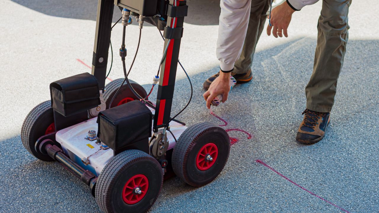
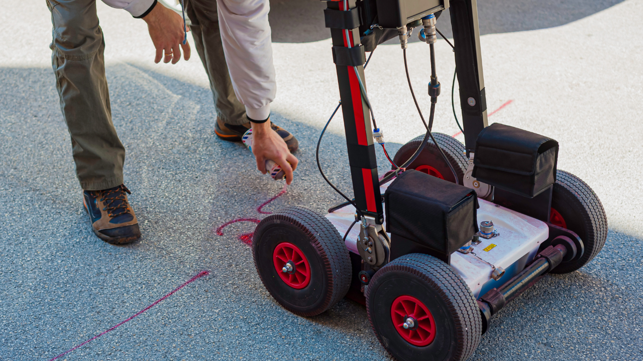
Ground Penetrating Radar (GPR) is a tool that uses radar pulses to find objects underground. It sends signals down into the ground and records any reflections.
These reflections show the shape and depth of buried objects. GPR can detect many things, like pipes, cables, and even old foundations.
GPR has many advantages. It doesn’t damage anything underground, and it works without digging. GPR gives a clear picture of what lies below the surface, which makes it popular for construction and utility projects.
The technology works well in most soil types, although it may struggle in highly conductive materials like clay.
Traditional utility mapping methods include several techniques, like electromagnetic (EM) locators, manual probing, and maps based on old records. EM locators, for example, use electric signals to find metal objects.
This method works well for certain metal pipes and cables but might miss plastic pipes or non-metallic structures.
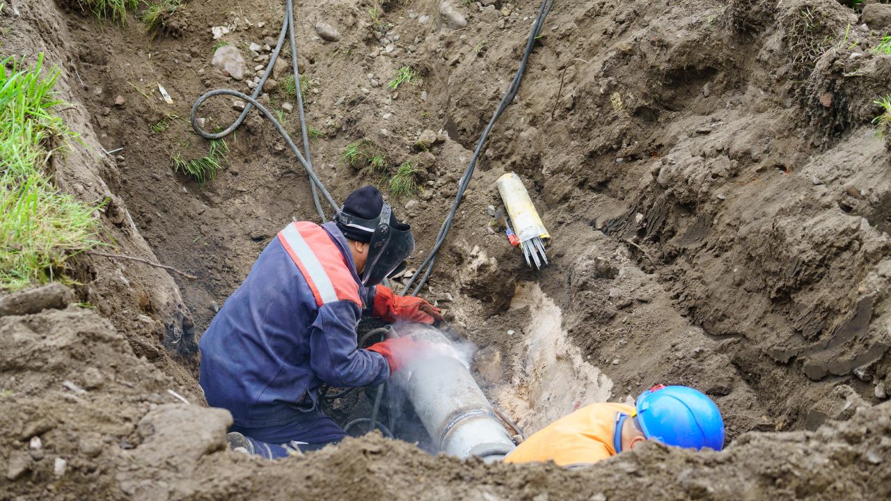
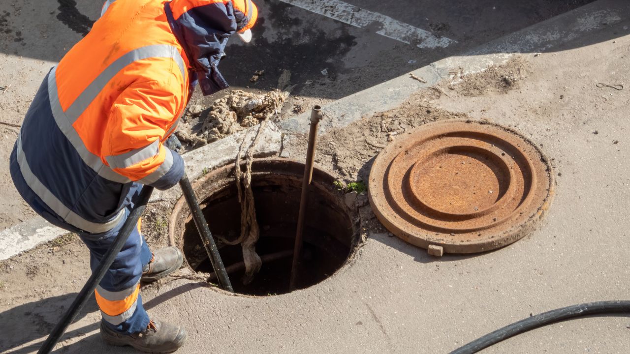
Manual probing is another old-school method. Workers insert a rod into the ground to detect buried items. It’s simple but doesn’t provide detailed information. Plus, it can disturb the ground, which could damage underground utilities.
Old maps can help too, but they may not always be accurate, especially in areas where updates haven't been made.
GPR has clear advantages over traditional methods. Here are some ways that make GPR utility locating services better than the traditional methods:
GPR captures more detail than traditional methods. It provides a clear image of what's underground. Traditional methods might miss smaller or hidden objects. With GPR, you get a fuller view, which helps with complex projects.
One big plus with GPR is that it doesn’t require digging. It sends radar pulses down without disturbing the ground. This reduces the risk of damaging private utilities below. Traditional methods like probing involve physical contact, which can sometimes cause harm.
GPR is faster and more efficient. It can scan large areas quickly and provide immediate results. Traditional methods usually take longer and often need more manual labor. GPR speeds up the mapping process, making projects move faster.
Unlike many traditional tools, GPR can detect both metal and non-metal objects. This is helpful when mapping out non-metallic utilities, like plastic pipes, gas lines, and water lines. Traditional methods often struggle with anything that isn’t metal.
GPR keeps projects safer. With no digging and detailed scans, it reduces the risk of damage to underground infrastructure. Traditional methods, with their limited reach, might miss objects and increase the risk of hitting something.
For complex or crowded underground areas, GPR provides more reliable mapping of buried utilities. Traditional methods may miss objects or only provide partial maps. With GPR, you get a thorough, dependable map for even the toughest sites.
GPR is eco-friendly because it leaves the ground untouched. Traditional methods like probing or digging can disturb soil and plant life, which isn’t ideal, especially in sensitive areas. GPR reduces this impact by scanning without disruption.
In cities with complex underground networks, GPR is a great fit. It can navigate through dense infrastructure and pick up details even in crowded spaces. Traditional methods might struggle or miss objects in these busy underground environments.
While GPR equipment may have upfront costs, it can save money over time. By providing a clear map, it helps avoid costly mistakes, like hitting a utility line. Traditional methods may lead to errors that result in expensive repairs or delays.
Accuracy is key when it comes to underground mapping, and GPR offers a high level of it. It pinpoints the exact locations and depths of utilities with minimal error. Traditional methods might miss objects or misjudge depths, which can lead to mistakes.
GPR is versatile and works in many types of soil, from sand to rocky ground. While it may struggle in clay or very wet soil, it still performs better overall. Traditional methods can sometimes fail in rough or compacted soils, where GPR provides more consistent results.
GPR is highly adaptable. It’s useful for projects ranging from small home improvements to large-scale construction. Traditional methods may only be effective in limited situations, but GPR fits nearly any project, making it an all-around option.
With GPR, you often don’t need additional tools or methods, as it can detect a range of materials and depths. Traditional methods usually require multiple techniques to cover all types of utilities, which can complicate the mapping process. GPR simplifies it by being an all-in-one tool.
When you need underground utility locating services in Northern California and Arizona, Bess Utility Solutions is here to help. We offer advanced GPR services and are trusted for quality work and accuracy. Our expert team uses the best tools to locate utilities safely and efficiently.
With Bess Utility Solutions, you get a dedicated team that knows the Northern California area. We ensure your project is safe and clear of hidden utility risks. Ready to get started? Book a consultation today and let our experts map out the safest path for your project.
Request a free quote now!
 Bess Utility Solutions