Hayward, CA
Fresno, CA
Orange, CA
Sacramento, CA
Phoenix, AZ
California's infrastructure landscape is changing fast. Aging underground systems, expanding urban corridors, and stricter regulatory requirements are pushing project teams to demand more from their subsurface data. Standard locating methods are no longer enough. In 2026, project owners, engineers, and contractors across the state are turning to LiDAR scanning to get the precise, reliable underground intelligence their projects depend on.
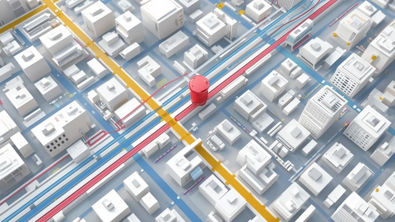
LiDAR — Light Detection and Ranging — uses laser pulses to capture highly accurate three-dimensional data of both surface and subsurface environments. When integrated with utility mapping workflows, it delivers a level of detail and speed that traditional methods simply cannot match. For anyone working on California utility construction, this technology is no longer optional. It is a critical tool for managing risk, staying on schedule, and protecting your budget from the moment a project begins.
Key Takeaways
Every construction project in California carries subsurface risk. Unmarked lines, outdated as-built drawings, and congested utility corridors are among the leading causes of costly delays, damage claims, and workforce injuries. LiDAR scanning directly addresses these risks by producing dense, accurate point cloud data that reveals what is underground before a single shovel breaks ground.
Here is how LiDAR scanning reduces risk on active California utility construction projects:
When risk is eliminated at the design stage, projects move faster, cost less, and keep workers safe. For engineers, contractors, and public agencies managing California utility construction, that outcome is not a bonus — it is the standard every project should meet.
California's utility corridors stretch across thousands of miles of terrain — from dense urban grids in San Diego and Los Angeles to suburban growth zones in the Central Valley and Northern California. Each region presents a unique set of subsurface conditions, and no single environment is more forgiving than another.
LiDAR mapping is built for this diversity. Whether a project sits in a congested San Diego utility corridor running beneath a downtown streetscape or a rural water district in the Sacramento region, LiDAR delivers consistent, survey-grade accuracy across all conditions.
In practice, LIDAR mapping for utility corridors works through a layered process:
From San Diego utility corridors to the Sacramento Valley, this process gives project teams a clear, accurate, and actionable picture of what lies underground — before any excavation begins.
Developers planning projects in California often ask a direct question: Is LiDAR worth the investment compared to traditional surveying? The answer depends on what you need — but for most utility-related applications, LiDAR delivers significantly greater value.
Here is how the two approaches compare:
| Factor | Traditional Surveying | LiDAR Scanning |
| Data Density | Limited point collection | Millions of points per scan |
| Speed | Slow, labor-intensive | Fast data capture, less field time |
| Accuracy | Dependent on crew skill and conditions | Consistently high-precision output |
| 3D Output | Typically 2D drawings | Full 3D point cloud models |
| Utility Conflict Detection | Manual process, prone to gaps | Automated conflict analysis in 3D |
| Documentation | Paper or basic digital records | Permanent, shareable digital models |
For California utility projects involving dense corridors, complex crossings, or tight design tolerances, LiDAR is the clear choice. Traditional surveying still has its place in simple, open-site applications. But when accuracy, speed, and risk reduction are the priorities — as they are on most utility projects in this state — LiDAR vs. traditional surveying is not a close contest.
For utility companies operating in California, the challenge is not just building new infrastructure — it is managing and maintaining what already exists. Thousands of miles of aging pipelines, conduits, and buried cables require ongoing monitoring, and California utility asset management programs are increasingly relying on LiDAR to do it efficiently.
LiDAR maintenance tools give asset managers the ability to:
California utility asset management programs that incorporate LiDAR data are better positioned to prevent failures, extend asset life, and reduce emergency repair costs. In a state where infrastructure age and regulatory demands are both increasing, this kind of proactive data strategy pays for itself.
California commercial development is moving at a rapid pace. New mixed-use projects, logistics centers, data campuses, and transit-adjacent developments are breaking ground across the state — and every one of them requires a clear picture of existing subsurface conditions before design can proceed.
LiDAR site scanning compresses the pre-construction timeline by delivering detailed site intelligence faster than any traditional approach. For commercial developers, this means:
In California's competitive commercial development market, speed and certainty are everything. LiDAR site scanning provides both. Project teams that invest in accurate subsurface data at the start of a project consistently see faster timelines and fewer budget surprises at the finish.
Utility relocation is one of the most disruptive and expensive phases of any infrastructure or development project. Without precise data on the location, depth, and type of existing utilities, relocation work frequently stalls, costs escalate, and project schedules collapse.
LiDAR utility relocation workflows solve this by giving design and construction teams exact subsurface intelligence before relocation planning begins. This allows engineers to:
California utility relocation projects on transportation corridors, transit expansion lines, and urban redevelopment sites benefit most from LiDAR integration. The cost of a thorough pre-relocation LiDAR scan is a fraction of the cost of a single avoidable delay. For project managers who have experienced the consequences of incomplete subsurface data, this is a straightforward calculation.
California environmental compliance requirements for utility construction are among the strictest in the country. Projects that disturb wetlands, sensitive habitats, or protected corridors must demonstrate that their subsurface work was planned and executed with precision. LiDAR regulatory support provides the documentation and accuracy that agencies require.
LiDAR data supports California environmental compliance in several concrete ways:
Utility projects that use LiDAR from the start are better equipped to pass environmental review, satisfy agency requirements, and complete work without regulatory interruptions. In California, where compliance delays can cost months and millions, that advantage is significant.
Drone LiDAR mapping represents the most efficient way to collect high-resolution aerial data for large or difficult-to-access utility corridors. Unmanned aerial systems equipped with LiDAR sensors can cover substantial ground in a fraction of the time required for ground-based surveys — and they can reach areas that are unsafe or impractical for crews on foot.
For California utility projects, drone LiDAR mapping delivers several distinct advantages:
When time, access, and scale are factors — and they almost always are on California utility projects — drone LiDAR mapping is the most effective way to get the data you need.
Not all LiDAR providers are equipped to deliver reliable results on the kinds of projects California demands. Selecting the right LiDAR scanning partner is one of the most important decisions a project team will make — and the criteria go beyond equipment and price.
When evaluating a LiDAR scanning partner for your California utility project, prioritize the following:
The right LiDAR scanning service provider does more than collect data — they give you the confidence to move your project forward with certainty.
Bess Utility Solutions brings 29 years of subsurface engineering experience to every LiDAR scanning engagement. As a CPUC certified MBE/DBE firm serving California and Arizona, we combine advanced LiDAR technology with field-proven utility locating expertise to deliver the accurate, reliable data your project requires.
Whether you are managing a San Diego utility corridor, planning a commercial development site, coordinating a utility relocation, or preparing for environmental review, our team is ready to support your project from initial scan to final deliverable.
Contact Bess Utility Solutions today to discuss your LiDAR mapping needs and get a consultation from a team that has been trusted by 1,000+ clients across California.


