Hayward, CA
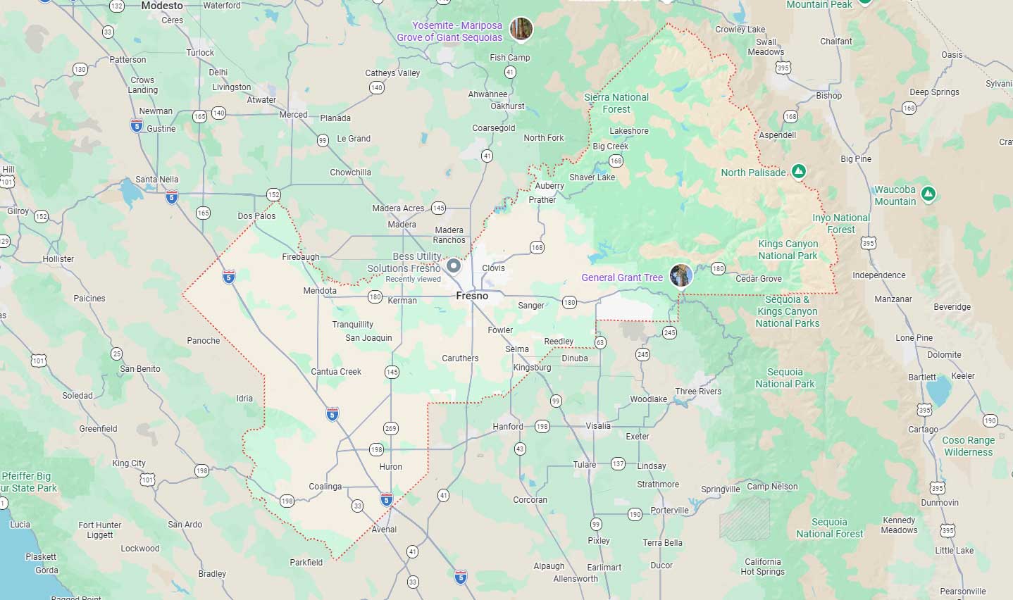
Fresno, CA
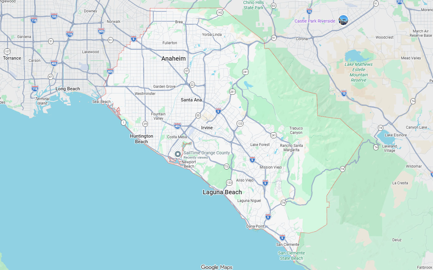
Orange, CA
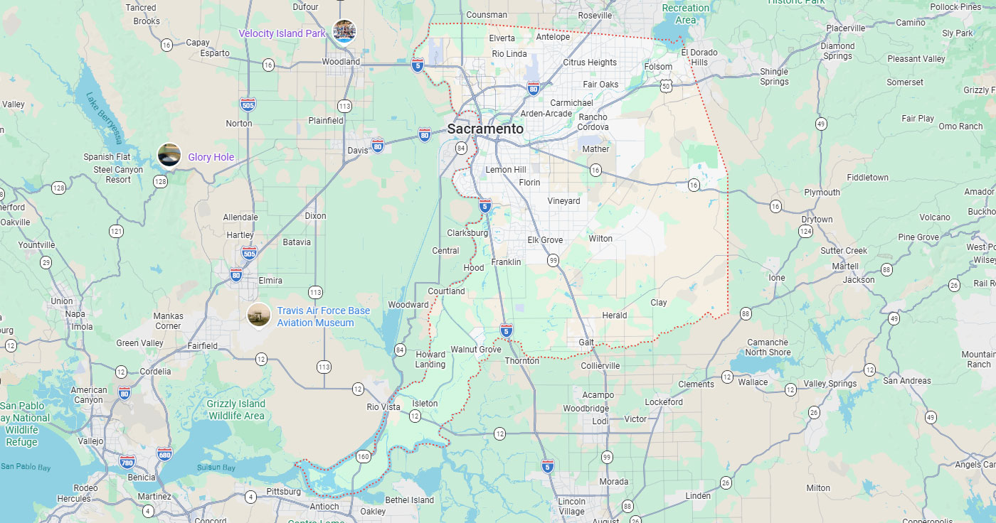
Sacramento, CA
Phoenix, AZ
Hayward excavation and design projects require accurate subsurface information before breaking ground. Striking buried electric, gas, water, or telecommunication lines causes outages, contamination, property damage, costly repairs, and project downtime. Selecting a qualified Hayward utility locating provider reduces these risks by identifying underground infrastructure before work begins.
Utility locating service selection involves evaluating methods, deliverables, verification capabilities, and local experience. A qualified utility locating company for your project should explain when electromagnetic locating is appropriate, when GPR adds value, and when physical verification through potholing is necessary. Providers must coordinate with 811 notification requirements while addressing private utilities, abandoned lines, and documentation needs that notification systems do not fully resolve.
Key Takeaways
Undetected utilities create safety hazards, financial losses, and schedule disruptions during excavation and construction. California law requires damage prevention measures before digging, and Hayward's municipal infrastructure adds layers of public and private utility systems. Evaluating these factors helps project teams understand when professional utility locating becomes essential.
Hayward Public Works & Utilities manages roads, water, wastewater, recycled water, and stormwater infrastructure throughout the city. This confirms that public ROW, municipal infrastructure, commercial redevelopment zones, and private facilities often contain overlapping utility networks. Project owners must account for both legally required notification steps and additional private utility investigation when subsurface uncertainty threatens project success.
Hitting buried electric, gas, water, and telecommunication lines can harm workers and the public. Utility strikes trigger outages, gas leaks, water contamination, property damage, costly repairs, project downtime, fines, and legal liabilities. These consequences make accurate subsurface investigation a practical investment before excavation or design decisions.
The cost of utility strikes or project redesign often exceeds professional locating service expenses. Change orders and schedule disruptions from underground uncertainty delay completion and strain contractor-owner relationships. Preventing these issues through proactive investigation protects budgets, timelines, and professional reputation.
California Government Code 4216 defines the legal excavation start date and time as two working days, not including the notification date, unless the excavator specifies a later date. This timing ensures utility owner/operators have adequate opportunity to mark their registered facilities before excavation commences.
The 811/USA North system functions as a regional notification process coordinating member utility owner and operator responses for public and registered facilities. Ticket renewal windows occur around the 28th day for continuing excavation, requiring excavators to maintain active notifications throughout extended project durations. Understanding the difference between notification requirements and private locating services helps project teams plan both legal compliance and comprehensive subsurface investigation.
Hayward Public Works & Utilities manages roads, water, wastewater, recycled water, and stormwater systems under applicable laws and regulations. This infrastructure scope creates conditions where multiple utility systems occupy the same corridor or development site. Urban redevelopment, aging infrastructure, and privately owned utility extensions increase the likelihood of conflicting records and undocumented features.
Overlapping utility risk appears frequently in public ROW, municipal infrastructure zones, commercial redevelopment areas, and private facilities. Projects involving trenching, grading, coring, or deep excavation must account for both documented utilities and potential unknown lines. Choosing a locating company with local Hayward experience helps identify site-specific conditions that generic providers may overlook.
The 811 notification system fulfills a legal damage prevention requirement but does not replace project-specific utility investigation. Private utility locating addresses subsurface needs that notification systems cannot fully resolve, including privately owned lines, abandoned utilities, and design-grade documentation. Understanding this distinction helps project teams allocate resources appropriately for both compliance and comprehensive risk reduction.
811 marks public and registered utilities within designated timeframes, while private locating investigates site-specific conflicts and undocumented features. The two services serve complementary roles rather than functioning as alternatives. Project owners who call 811 first and then evaluate whether the site also needs private utility locating achieve both legal compliance and operational confidence.
The 811 system coordinates responses from member utility owners and operators for public and registered facilities. Excavators submit notification requests, and participating utilities mark their lines within the legally required timeframe before excavation begins. This process protects public infrastructure and ensures utility owners receive advance notice of planned excavation activity.
Ticket renewal windows occur around the 28th day for continuing excavation that extends beyond the initial notification period. Excavators must renew notifications to maintain legal protection and ensure utility owner awareness throughout the project duration.
Private utility locating is a project service investigating private lines, abandoned utilities, undocumented features, site-specific conflicts, and mapping needs. 811 notification is legally required but does not replace private utility locating, subsurface utility engineering, utility mapping, GPR, electromagnetic locating, or potholing. Calling 811 first establishes the legal baseline; then site evaluation determines whether private utility locating is necessary for complete subsurface confidence.
The 811 system does not fully address private utilities, abandoned lines, inaccurate records, utility mapping, depth verification, or conflict documentation. Hayward developers rely on professional utility locating to identify subsurface features that notification systems do not cover. Projects requiring design integration, CAD/GIS deliverables, or physical verification, private locating services are needed beyond 811 marks.
Private utility categories include irrigation, private gas, electrical feeders, storm and sewer laterals, telecom and fiber, industrial lines, and unknown or abandoned facilities. These systems often lack comprehensive records or fall outside the scope of 811 notification member utilities. Site-specific investigation becomes essential when project owners need confidence about privately owned or poorly documented infrastructure.
Abandoned utilities and undocumented features create particular risk because they may not appear in available records or notification responses. Private locating methods such as GPR, electromagnetic detection, and potholing reveal these hidden features before excavation begins.
No single utility locating method fits every utility type, material composition, or site condition. Qualified providers use electromagnetic locating for conductive utilities, GPR for non-metallic lines and complex conditions, CCTV for pipe inspection, and vacuum excavation for physical verification. Understanding when each technology is appropriate helps project teams select providers with the right capabilities for their specific subsurface challenges.
| Method | What It Detects | Ideal Use Case | Limitation |
| Electromagnetic Locating | Conductive metallic pipes, cables, conduits | Accessible, traceable utilities with signal access | Cannot trace non-metallic lines |
| GPR (Ground Penetrating Radar) | Non-metallic utilities, voids, concrete features | PVC, fiber, concrete-encased lines, congested corridors | Performance varies with soil and depth |
| CCTV Pipeline Inspection | Internal pipe condition and blockages | Sewer and storm drain assessment, 5.5 to 60 inch pipe | Requires pipe access points |
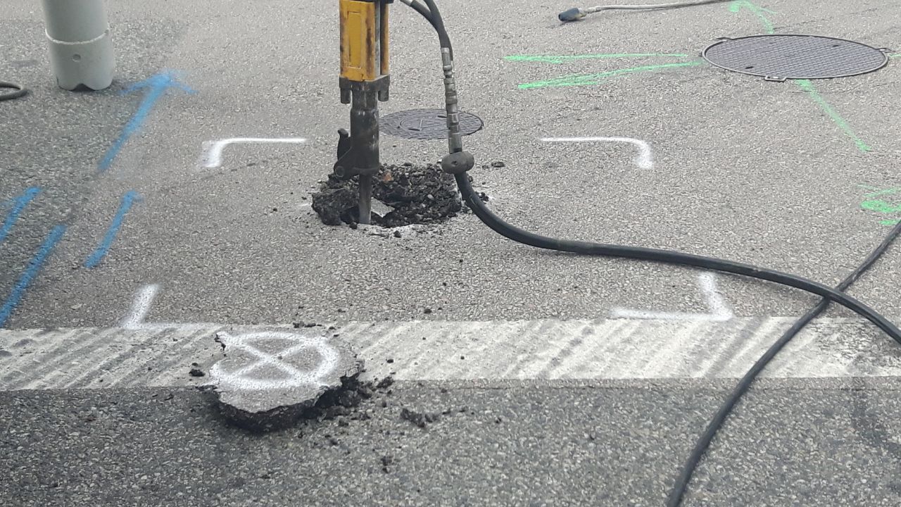
| Vacuum Excavation (Potholing) | Exact location, depth, and condition | Physical verification before high-risk excavation | Localized to the exposed point only |
Electromagnetic locating and GPR each have specific conditions where they are insufficient alone, requiring combined methods for complete coverage. Providers who rely on only one technology may miss utilities that require alternative detection approaches.
Electromagnetic locating works effectively for conductive and traceable metallic utilities where signal transmission is possible. This method detects metallic pipes, cables, and conduits by inducing or tracing electromagnetic signals along the utility path. Electromagnetic locating provides reliable results when utilities are accessible, conductive, and not deeply buried or heavily congested.
GPR addresses non-metallic utilities and conditions where electromagnetic locating alone is insufficient for complete subsurface investigation. Concrete-encased utilities, PVC pipe, fiber optic lines, and densely congested areas often require GPR to supplement electromagnetic methods. GPR scanning services in California use radio wave technology to detect subsurface features regardless of material conductivity or signal access.
GPR detects non-metallic utilities, concrete structures, voids, and subsurface anomalies that electromagnetic locating cannot identify. Radio wave pulses penetrate the ground and reflect back from subsurface interfaces, creating data profiles that reveal buried features. GPR excels in conditions where utilities lack conductivity, records are unreliable, or multiple overlapping lines create detection challenges.
The IDS Stream EM uses 40 channels to collect longitudinal and transverse pipe data efficiently across large areas. This multi-channel system can collect subsurface information at speeds up to 9 mph, making it practical for corridor mapping and campus-scale projects. High-speed collection with GPS or total-station integration supports production timelines while maintaining data accuracy for design and coordination deliverables.
CCTV pipe inspection applies to pipe diameters ranging from 5.5 inches to 60 inches for condition assessment and location verification. Internal cameras reveal blockages, breaks, corrosion, joint displacement, and other features that surface methods cannot detect. CCTV data helps owners evaluate pipe condition before rehabilitation or replacement decisions and supports sonde-assisted location when surface access is limited.
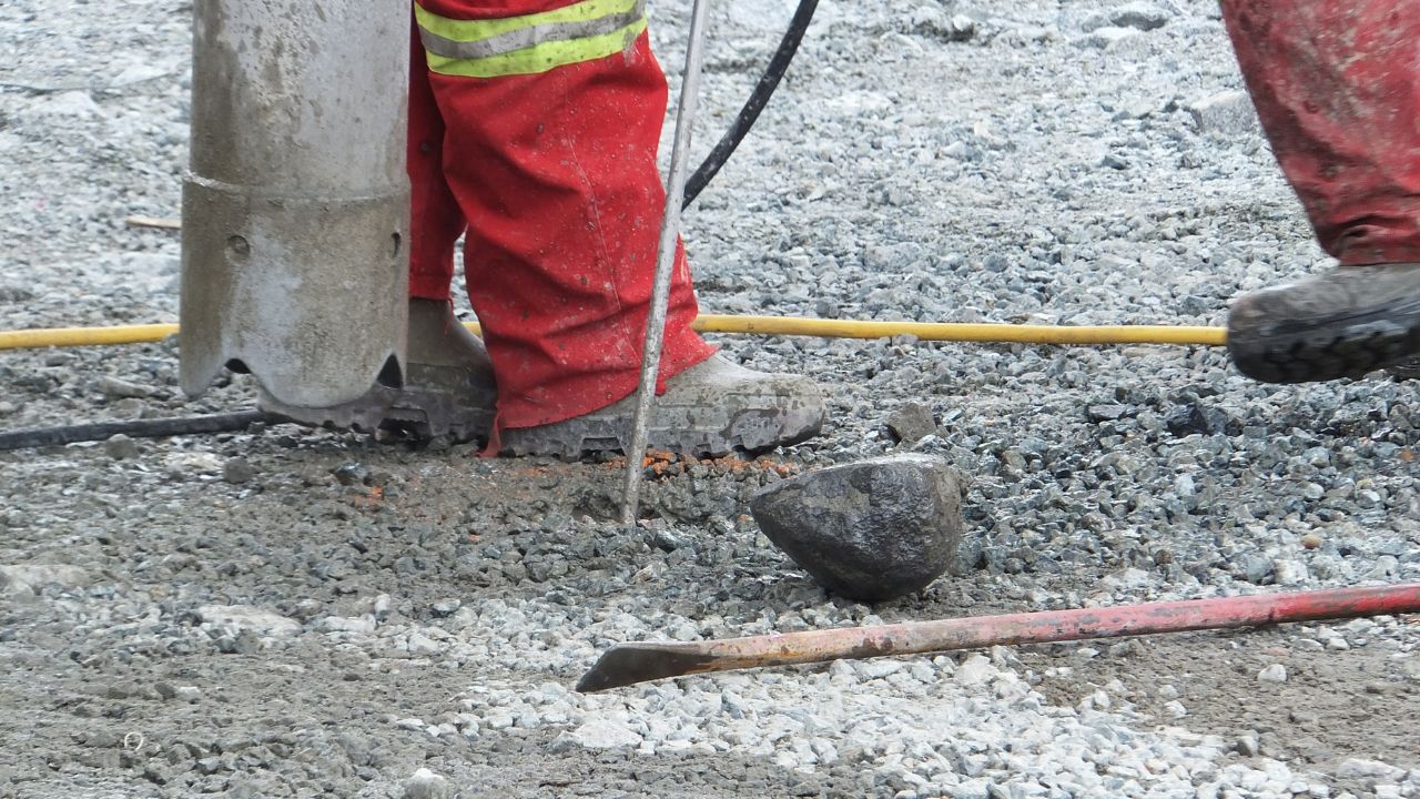
Potholing is performed after electronic designation to verify the exact location, depth, and condition of buried utilities. Vacuum excavation verifies exact location, depth, and condition versus electronic designation providing surface marks only. Physical exposure eliminates uncertainty when design clearances depend on actual utility depth or when conflicting information from plans, 811 marks, and electronic locating requires resolution.
Paint marks help field crews identify utility paths, but engineers and owners may need CAD, GIS, or report deliverables for design integration. Providers should offer documentation options that match project requirements, from temporary field marks for simple excavation to survey-grade mapping for infrastructure design. Evaluating deliverable options during provider selection ensures the chosen company can support both field and engineering team needs.
| Deliverable | Suited For | Format |
| Field Marks (Paint or Flags) | Simple excavation with immediate field guidance | On-site markings |
| CAD/GIS Data | Design integration and engineering coordination | AutoCAD or ArcGIS files |
| Subsurface 3D Model | Corridor design, campus planning, complex sites | 3D model with GPS or total-station control |
| Written Report with Confidence Levels | Documenting method limitations and verification needs | PDF report with data-quality notes |
Professional utility locating produces data that informs design decisions, construction planning, and long-term infrastructure management. Providers who only offer paint marks limit their usefulness to short-term excavation projects without design or documentation requirements.
Paint marks serve immediate field needs, but engineers and owners often require CAD, GIS, or report deliverables for project documentation. The 3D mapping workflow uses IDS Stream EM collection with GPS or total-station integration to output data into AutoCAD or ArcGIS deliverables. This process transforms field investigation into design-ready information that supports engineering analysis, conflict resolution, and facility management.
Survey-grade utility mapping integrates subsurface findings with existing plans, property boundaries, and design drawings for coordinated project development. Providers who offer CAD and GIS deliverables enable owners to maintain accurate as-built records and support future site modifications. Utility locating for commercial projects in Hayward often requires this level of documentation to satisfy owner, engineer, and regulatory expectations.
Utility locating has real limitations based on soil, depth, material, access, congestion, utility condition, signal access, and records quality. No single method fits every utility, material, or site condition without encountering technical or environmental constraints. Providers cannot guarantee every utility will be found due to inherent detection limitations and subsurface variability.
Qualified providers document confidence levels, method limitations, and areas requiring additional verification or alternative investigation techniques. Honest limitation communication protects owners from false confidence and helps project teams allocate resources for verification steps when uncertainty remains.
FHWA defines SUE as identifying, acquiring, and managing the quality level of utility information needed during project development. Subsurface Utility Engineering addresses unreliable underground utility information as a long-standing highway design problem by establishing quality levels for utility data accuracy. This framework supports design decisions by clarifying what is known, what is inferred, and what requires verification before construction begins.
Utility mapping integration with project plans and surveys ensures subsurface findings inform design conflicts, clearance calculations, and construction sequencing. Providers who coordinate field data with survey control and CAD deliverables enable engineers to analyze utility impacts during the design phase.
Local experience helps providers understand municipal utility systems, ROW constraints, infrastructure age, and site-specific conditions common to Hayward and the Bay Area. Providers familiar with regional utility operators, permitting processes, and subsurface conditions bring operational efficiency and reduce learning curves on new projects.
Hayward projects encounter urban density, aging infrastructure, multiple utility jurisdictions, and redevelopment conditions that require adaptive investigation strategies. Providers with Northern California experience recognize these patterns and apply appropriate methods without extensive trial-and-error approaches.
Unreliable underground utility information creates design problems when plans do not reflect actual subsurface conditions. Aging infrastructure, undocumented modifications, abandoned facilities, and inaccurate records increase uncertainty for project teams relying on available documentation. Hayward's urban environment compounds these challenges with dense utility corridors, limited surface access, and multiple ownership jurisdictions.
Project teams must address public utilities managed by Hayward Public Works & Utilities alongside privately owned systems serving commercial, industrial, and residential properties. This mixture creates detection challenges when records are incomplete or conflicting information appears across multiple utility operators.
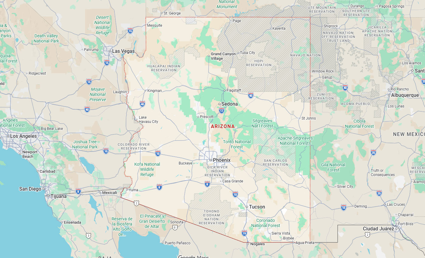
BESS has over 29 years of experience serving California, Arizona, and Nevada projects with emphasis on Northern California, the Bay Area, and the Central Valley. This regional presence supports consistent service delivery, local agency relationships, and accumulated knowledge of area-specific utility patterns.
Municipal utility system familiarity helps providers coordinate with public works departments, understand infrastructure plans, and navigate ROW permitting requirements efficiently. Private utility system knowledge enables investigation of irrigation, electrical feeders, storm and sewer laterals, telecom and fiber, and industrial lines that fall outside public utility jurisdiction. Hayward contractors choose professional utility locating when they need providers who understand both public and private subsurface infrastructure.
Hayward projects often require work in active ROW, near operational facilities, or within traffic-controlled zones where safety and coordination are essential. Providers must manage lane closures, traffic control, public access, and utility owner coordination while maintaining investigation accuracy and schedule commitments.
Site complexity increases when multiple investigation methods, verification steps, and stakeholder coordination are required during compressed project schedules. Providers capable of managing traffic, ROW constraints, and site complexity deliver results without compromising safety or data quality.
Safety protocols, legal compliance, and stakeholder communication determine whether a utility locating provider can support project success beyond technical detection capabilities. Providers should coordinate with 811 requirements, maintain appropriate licenses and insurance, and document uncertain findings clearly for project team review.
Professional utility locating involves more than finding buried lines; it requires managing excavation safety, legal obligations, and information flow between owners, engineers, contractors, and utility operators. Providers who neglect these responsibilities create gaps in project coordination even when detection methods are technically sound.
Qualified providers tell project teams to call 811 first and coordinate around notification marks and timing requirements. This approach maintains legal compliance while adding private utility locating where 811 does not fully address project needs. Providers should explain how their investigation timeline aligns with 811 response periods, excavation start dates, and project milestones.
Coordination between 811 notifications and private locating schedules ensures excavators receive both public utility marks and comprehensive site investigation before work begins. Effective coordination integrates notification, private locating, verification, and excavation sequencing into a unified damage prevention workflow.
Providers should maintain licenses, insurance coverage, and safety protocols appropriate to the services they offer and the jurisdictions where they operate. CPUC-certified MBE/DBE status demonstrates regulatory qualification for certain project types, though certification alone does not replace evaluation of technical capabilities.
Safety protocols address excavation hazards, traffic control, personal protective equipment, and coordination with active utility systems during investigation. OSHA trenching and excavation standards support broader jobsite safety, though they do not define utility locating technical requirements.
Conflicting or uncertain utility findings require clear documentation explaining what was found, what methods were used, where limitations exist, and what verification steps are recommended. Providers should communicate uncertainty honestly rather than presenting low-confidence findings as definitive results. Potholing helps prevent legal issues by resolving conflicts before excavation creates costly or dangerous utility strikes.
Documentation practices should specify confidence levels, method limitations, and areas where physical verification or additional investigation is advisable. Transparent communication supports informed decision-making and allows project teams to allocate verification resources where subsurface uncertainty creates the greatest risk.
Potholing and 3D mapping become worthwhile investments when the cost of utility strikes, redesign, or schedule delays exceeds the expense of verification services. Projects with tight clearances, critical utilities, high excavation risk, or design integration needs benefit from physical verification and comprehensive mapping.
Physical verification through vacuum excavation and large-scale 3D mapping address different project needs, though both reduce subsurface uncertainty. Potholing suits localized verification before high-risk excavation, while 3D mapping supports corridor design, campus planning, and complex infrastructure coordination.
Physical verification becomes necessary before trenching near known or critical utilities where strikes would cause severe consequences. Design clearance calculations that depend on actual utility depth require potholing when electronic designation does not provide sufficient accuracy. Conflicting information from 811 marks, plans, and locator readings requires resolution through physical exposure before excavation proceeds.
The cost of utility strikes or project redesign often exceeds the investment in vacuum excavation when high-value utilities occupy the work zone. Change orders and schedule disruptions from underground uncertainty justify proactive verification on projects with tight timelines or limited contingency budgets.
Large sites, corridors, campuses, roadway projects, and complex subsurface environments benefit from 3D mapping that captures utility networks across broad areas efficiently. Projects needing CAD or GIS deliverables for design and coordination rely on 3D mapping to integrate subsurface findings with engineering plans.
The IDS Stream EM collects data across large areas efficiently using 40 channels with GPS or total-station geolocation for AutoCAD and ArcGIS output. This workflow transforms field collection into design-ready deliverables that support engineering analysis, conflict detection, and infrastructure planning.
BESS service methods include GPR, electromagnetic pipe locators, vacuum excavation, utility mapping, CCTV pipeline inspection, surveying and mapping, and subsurface 3D mapping. Combining multiple verification technologies addresses site conditions that single methods cannot resolve completely, ensuring comprehensive subsurface investigation.
Electromagnetic locating identifies metallic utilities, GPR detects non-metallic features, CCTV inspects pipe interiors, and vacuum excavation verifies exact conditions physically. Projects with varied utility types, complex site conditions, or high accuracy requirements benefit from providers who apply appropriate methods rather than forcing one technology across all situations.
Selecting the right provider requires evaluating methods, deliverables, verification capabilities, local experience, and communication practices against project-specific needs. A qualified utility locating company demonstrates utility mapping expertise through appropriate technology application, honest limitation disclosure, and deliverables matched to owner requirements. Providers who offer electromagnetic locating, GPR, vacuum excavation, mapping, and CCTV inspection address diverse project conditions without capability gaps.
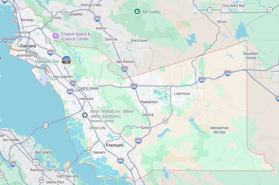
BESS coverage areas include California, Arizona, and Nevada with emphasis on Northern California, the Bay Area, the Central Valley, and Arizona's Phoenix region. This service territory supports Hayward projects through regional presence, accumulated local experience, and established relationships with municipal agencies and utility operators.
Choosing a locating company involves more than comparing hourly rates; it requires assessing whether the provider can reduce project risk through comprehensive investigation and clear communication. Bess Utility Solutions supports Hayward and Northern California projects with underground utility locating, GPR, electromagnetic pipe locating, utility mapping, and vacuum excavation.
Choosing the right utility locating company protects your Hayward project from costly strikes, redesigns, and schedule delays. Bess Utility Solutions is a CPUC-certified MBE/DBE firm with 29 years of experience, offering electromagnetic locating, GPR concrete scanning, CCTV pipeline inspection, vacuum excavation, and subsurface 3D mapping under one team. Call our Hayward office at (408) 988-0101 to discuss your project, or request a free quote from Bess Utility Solutions to get started.
A. Utility locating costs depend on site size, method mix, and the number of private utilities investigated, so pricing varies by project. Electromagnetic locating and GPR scanning are typically priced per site visit, while vacuum excavation is often priced per pothole. Bess Utility Solutions provides project-specific quotes after reviewing site conditions and scope, so contractors and engineers can budget accurately before work begins.
A. Most electromagnetic locating and GPR scans for a single Hayward site can be completed within one to two days, depending on site size and utility density. Projects requiring CAD/GIS deliverables, subsurface 3D mapping, or extensive potholing take longer because data must be processed and verified. Scheduling around 811 notification timing, which requires two working days’ notice under California law, helps keep both legal compliance and private investigation on track.
A. No. The 811/USA North system marks public and registered utilities within a legally required timeframe, but it does not address privately owned lines, abandoned utilities, or undocumented features. Private utility locating investigates site-specific conditions that 811 does not cover, including irrigation, private electrical feeders, and storm or sewer laterals. Project teams that call 811 first and then evaluate private locating needs achieve both legal compliance and complete subsurface confidence.
A. Look for CPUC certification, MBE/DBE status, and adherence to the ASCE 38-02 standard for utility locating, since these signal regulatory compliance and technical rigor. Licensed and insured crews with documented safety protocols reduce risk on active job sites and public rights-of-way. Bess Utility Solutions holds CPUC-certified MBE/DBE status and applies ASCE 38-02 practices across every Hayward and Northern California project.
A. Electromagnetic locating and GPR can estimate depth, but neither method guarantees exact measurements because soil conditions, utility material, and signal congestion affect accuracy. Physical verification through vacuum excavation exposes the utility directly, confirming exact location, depth, and condition before design or construction decisions rely on that data. Providers should disclose confidence levels for electronic methods and recommend potholing whenever design clearances or high-risk excavation depend on precise depth.