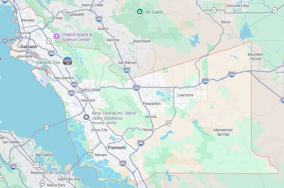
Hayward, CA
Fresno, CA
Orange, CA
Sacramento, CA
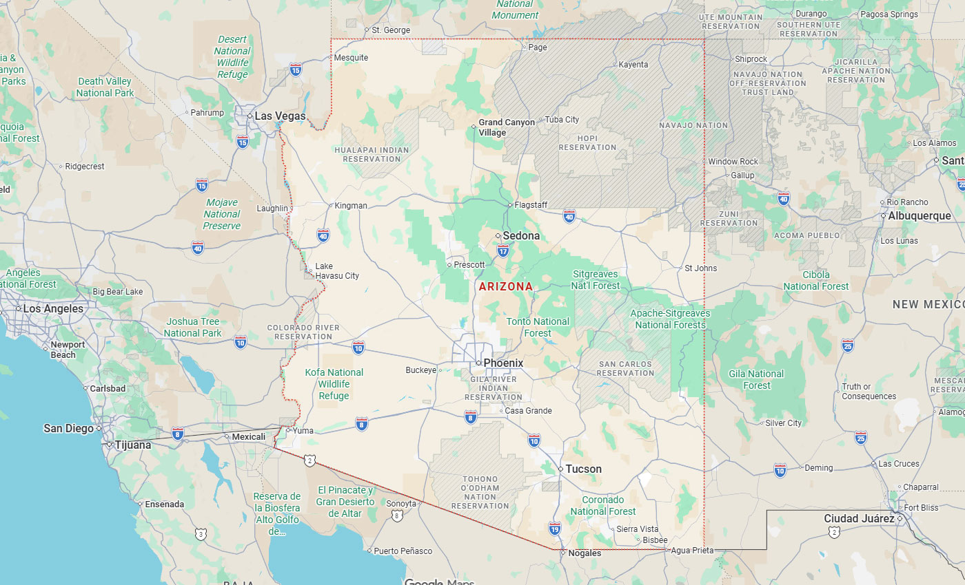
Phoenix, AZ
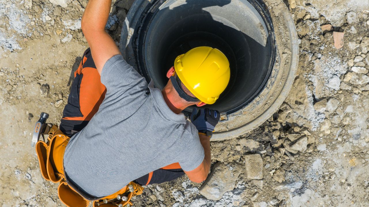
California municipal operators and utility companies manage thousands of miles of aging sewer and stormwater infrastructure on tight capital budgets and rising regulatory pressure. Many systems exceed their expected service life, yet record drawings predate digital systems, leaving operators with incomplete subsurface knowledge. CCTV pipe inspection transforms subsurface guesswork into a defensible asset management program by producing structured, defect-coded data that feeds GIS, capital forecasting, and long-range planning. This data foundation replaces outdated paper records with verified field conditions and documented defect histories that drive intelligent maintenance decisions.
This article examines how CCTV pipeline inspection supports California utilities through three critical functions: feeding GIS and digital records with survey-grade accuracy, supporting asset lifecycle management with PACP-coded defect tracking, and enabling smart infrastructure planning with AI-assisted productivity gains. Bess Utility Solutions brings 29 years of subsurface engineering experience to this work, operating as a CPUC-certified MBE/DBE firm and delivering ASCE 38-02-compliant results across California, Arizona, and Nevada for municipalities, utility companies, and military installations.
Key Takeaways
CCTV pipe inspection uses robotic crawlers to capture HD or 4K video inside sewer and stormwater pipes, documenting actual field conditions. Trained operators identify defects in real time using NASSCO PACP standards, producing permanent video files and distance-marked defect logs that feed directly into GIS-based asset registries.
Robotic crawler systems push pan/tilt/zoom cameras through the full length of accessible pipe, capturing laterals, joints, and tap connections. Resolution ranges from 1080p to 4K, with a field-of-view that spans between 90 and 170 degrees. Trained operators to code defects in real time using NASSCO PACP standards, ensuring consistent grading across inspection programs. Output formats include permanent video files, time-stamped defect logs, distance-from-manhole markers, and PACP-coded reports that serve as raw material for GIS-based asset registries.
The United States maintains over 800,000 miles of public sewer infrastructure, with much of it past expected service life. California municipal and utility operators manage thousands of miles each, often working from paper record drawings that predate digital systems and miss decades of repairs, taps, and unauthorized connections. Surface-based locating methods confirm where utilities run, but only CCTV confirms the condition inside those pipes - both datasets combine to produce a complete asset picture. Bess Utility Solutions integrates CCTV with GPR, EM locating, and vacuum excavation, delivering a single subsurface dataset rather than disconnected reports from multiple vendors.
CCTV inspection produces structured data that converts directly into spatial records. Distance-from-manhole markers locate each defect with foot-level precision, and survey-grade coordinates link observations to exact XYZ points in the GIS for utility mapping accuracy.
Distance-from-manhole markers locate each defect along the pipe segment with foot-level precision, supporting ASCE 38-02 Quality Level A/B subsurface utility engineering deliverables. Survey-grade coordinates link each defect to a precise XYZ point in the GIS, while PACP defect codes assign standardized attributes covering pipe material, defect type, severity grade, position, and observed cause. Video clips are attached to GIS records, giving engineers visual verification long after the inspection. Subsurface 3D mapping converts CCTV findings into a layered digital twin that sits alongside surface features, water lines, gas, electric, and telecom in the GIS.
Most California municipal record drawings predate modern digital systems—paper drawings, sometimes scanned but rarely georeferenced, often missing decades of modifications. CCTV-generated GIS records capture actual field conditions rather than assumptions from outdated documents. Once in GIS, records become searchable, queryable, and updatable as conditions change—every future inspection adds to the dataset rather than starting from scratch. Schedule CCTV-to-GIS conversion if your system exceeds 50 miles of sewer, your record drawings are older than 20 years, or new development requires accurate baseline data. Bess Utility Solutions delivers PACP-coded reports and GIS-ready outputs that California public agencies, municipalities, and military installations accept without rework.
CCTV inspections build defect histories that track deterioration over time. Each inspection run produces a baseline; subsequent runs document how defects progress, converting maintenance schedules from reactive to predictive.
Each CCTV run establishes a baseline condition, while subsequent runs document deterioration over time. A PACP grade 2 defect last year may advance to grade 4 this year—that change rate drives intelligent maintenance scheduling across thousands of segments. For California operators managing extensive networks, defect history converts intuition into data-driven priorities ranked by severity, deterioration rate, and consequence of failure. Annual or semi-annual inspections on high-risk segments build the dataset needed to forecast remaining service life and justify capital requests to elected officials and ratepayer boards. The 95%+ defect detection rate delivered by PACP-certified operators ensures consistent grading across the network, making year-over-year comparisons valid for asset management decisions.
Defect data feeds capital planning directly—engineering teams group segments by PACP grade, deterioration rate, and downstream consequence to set the rehab queue. Trenchless rehab methods such as CIPP lining and pipe bursting become the default for grade 3 defects caught early, while full replacement is reserved for grade 5 segments. Planned trenchless repair often costs 30 to 50 percent less than the same fix performed under emergency conditions, and inspection costs represent a fraction of either. Schedule CCTV-driven asset assessments if your system is more than 20 years old, has experienced prior failures, or supports critical commercial, industrial, or healthcare users. For California municipalities and utility operators, this approach extends asset life while staying inside tight capital budgets.
AI-assisted CCTV systems nearly double inspection throughput, making system-wide programs economically viable. Higher productivity drops per-linear-foot costs and produces the defect data that feeds capital forecasting models for California utilities planning multi-year infrastructure investments.
AI-assisted CCTV systems nearly double inspection throughput per shift—production jumps from approximately 1,350 to 2,690 linear feet on documented projects. Higher throughput makes system-wide inspection programs economically viable for California operators managing thousands of miles of pipe. AI defect classification flags cracks, root intrusion, joint offsets, and material defects in real time, reducing review backlog and freeing engineering teams for higher-value analysis. Defect data feeds capital forecasting models, allowing operators to predict 5- and 10-year capital needs from current condition data rather than rough age-based assumptions. Cost per linear foot drops from $3 to $8 standard to $1.50 to $4 AI-assisted, making system-wide routine inspection viable for large networks.
CCTV findings combined with GPR, electromagnetic locating, and vacuum excavation data produce a complete subsurface model capturing pipe condition, position, depth, and material. Long-range planning benefits include identifying where to expand capacity, where to retire and replace aging infrastructure, and where to protect existing assets against pressure from new commercial or residential development. Subsurface 3D models support emergency response planning, future expansion design, and coordination with private utility owners sharing the same corridors. Invest in integrated subsurface modeling if your jurisdiction is planning network expansion, mixed-use redevelopment, or a multi-year capital improvement program. Bess Utility Solutions delivers the integrated service suite—CCTV, GPR, EM locating, vacuum excavation, and 3D subsurface mapping—under a single ASCE 38-02 compliant scope.
California regulatory requirements increasingly mandate CCTV-grade documentation for sewer system operators. SSMP compliance, CEQA review processes, and State Water Resources Control Board mandates assume documented inspection records as the standard of care.
The State Water Resources Control Board mandates Sewer System Management Plans (SSMPs) for public sewer system operators—CCTV inspection provides the foundational data source. Spill reporting obligations make documented preventive inspection a defensible record if a sanitary sewer overflow (SSO) occurs. CEQA review for large infrastructure and development projects requires documented baseline conditions for downstream sewer and stormwater systems. For California operators, CCTV-grade documentation is no longer optional—it is the standard that regulators, lenders, and insurers now expect.
Municipal wastewater utilities account for approximately 40 percent of the California CCTV inspection market, with commercial real estate adding another 25 percent. For utility operations managers protecting buried assets, documented inspection records support third-party damage claims and damage prevention programs. Establish a recurring CCTV asset program if your jurisdiction is subject to SSMP requirements, manages aging infrastructure, or faces public scrutiny on system reliability. Bess Utility Solutions, as a CPUC-certified MBE/DBE firm with 29 years of serving California municipalities, utility companies, and military installations, delivers the documentation regulators accept without rework.
A recurring inspection program focuses first on high-risk segments and establishes baseline PACP grades. Re-inspection intervals match defect severity, and defect data feeds directly into the GIS as it comes in rather than as year-end batches.
Start with high-risk segments, including older systems, prior failures, critical commercial and industrial users, and segments downstream of grease-producing facilities. Establish baseline PACP grades and re-inspect at intervals matched to defect severity: annually for grade 3 and higher and every 3 to 5 years for grades 1 to 2. Coordinate inspection with hydro-jetting and cleaning—clean lines produce usable footage and accurate grading. Build defect data into the GIS as it comes in rather than as a year-end batch, so capital planning works from current data.
Bess Utility Solutions brings 29 years of subsurface engineering experience across California, Arizona, and Nevada. As a CPUC-certified MBE/DBE firm, the company qualifies for municipal, public agency, and federal contracts. The integrated service suite includes CCTV, GPR, EM locating, vacuum excavation, and 3D subsurface mapping under one scope. With more than 1,000 satisfied clients, including municipalities, utility companies, engineering firms, and military installations, Bess Utility Solutions delivers ASCE 38-02 compliant results with PACP-coded reports, GIS-ready outputs, and survey-grade coordinates ready for long-term asset management programs.
California utilities depend on verified subsurface data to manage aging infrastructure, meet regulatory obligations, and protect public safety. CCTV pipe inspection transforms paper records and assumptions into structured, defensible data that supports capital planning, extends asset life, and reduces emergency repair costs. The integration of AI-assisted inspection, GIS-ready outputs, and ASCE 38-02 compliance makes system-wide programs economically viable for municipal operators and utility companies managing thousands of miles of pipe. With data accuracy as the foundation, operators convert reactive maintenance into predictive asset management programs that justify capital investments and extend infrastructure service life.
Managing thousands of miles of aging sewer and stormwater infrastructure on a tight capital budget leaves no room for guesswork or paper record drawings that miss decades of repairs. Bess Utility Solutions gives California public works directors and utility operations managers the verified subsurface data they need to forecast capital needs, satisfy SSMP and State Water Resources Control Board requirements, and prioritize rehab before grade 3 defects become grade 5 emergencies.
As a CPUC-certified MBE/DBE firm with 29 years of experience and more than 1,000 satisfied clients, we deliver PACP-coded reports, GIS-ready outputs, and survey-grade coordinates under ASCE 38-02-compliant workflows. Our integrated suite of CCTV, GPR, EM locating, vacuum excavation, and 3D subsurface mapping produces one complete asset picture, not disconnected reports from multiple vendors.
Establish a CCTV-driven asset management program built on data that your regulators, lenders, and insurers accept without rework. Contact Bess Utility Solutions today to schedule your consultation.