Hayward, CA
Fresno, CA
Orange, CA
Sacramento, CA
Phoenix, AZ
Key Takeaways
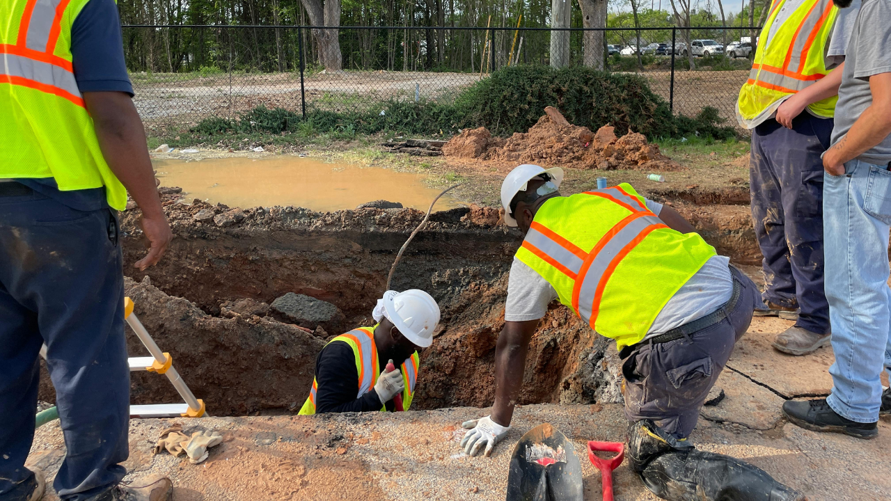
Subsurface Utility Engineering (SUE) is a crucial practice for ensuring the safety and accuracy of underground utility work. In Arizona, where the conditions of the land can be unique, understanding the various SUE quality levels is essential for engineers. These quality levels (A, B, C, and D) provide the framework for safely locating and managing underground utilities. This guide will help you understand these levels and why they matter for projects in Arizona.
In Subsurface Utility Engineering, four distinct quality levels (A, B, C, and D) are used to define the methods and accuracy of utility locating. Each level offers a different degree of certainty and is applied based on the needs of the project and the environment.
For Arizona infrastructure projects, understanding these levels and their applications helps engineers make informed decisions and avoid costly delays or accidents. Each quality level serves a specific purpose in utility management and project planning, ensuring that the right approach is used in the right circumstances.
SUE services in Arizona play a critical role in identifying and managing underground utilities before they become obstacles or risks. Utility locating for engineers is vital for everything from utility mapping to utility potholing. Given the state's rapidly growing infrastructure and diverse terrain, knowing where utilities are buried allows for efficient project execution and safety.
For example, when planning for utility installations or dealing with utility conflicts, accurate utility detection is vital. Arizona’s environment—often dry—requires specialized non-destructive techniques such as air & hydro excavation to minimize damage to existing utilities. With the advanced utility locating technology and services offered in the state, engineers can avoid costly mistakes that could delay construction.
The right SUE quality levels help engineers plan for utility relocation or even get a utility clearance letter, which ensures that no unanticipated obstacles exist during construction. This is especially relevant for projects in cities like Phoenix, Arizona, where utility lines can run deep beneath the surface and may cross paths with newer developments.
When performing subsurface utility detection, engineers in Arizona rely on several geophysical techniques and tools to pinpoint the exact locations of utilities. The use of the Guided Boring Method, the Pilot Tube Method, and vacuum excavation trucks ensures that underground utilities are detected with minimal disruption to the environment.
Trenchless technology, such as Keyhole Pavement Coring, has also become widely used in Arizona for safely accessing utilities without large-scale excavation. This method is especially advantageous in urban areas, where space is limited and digging could damage both the surface and the utilities themselves.
In addition, services like utility potholing and rotary core drills allow engineers to verify utility locations with high accuracy. These methods are particularly beneficial when dealing with underground utility lines in areas prone to shifting or in regions where geological conditions may alter the expected depth of utilities.
Accurate utility data is a cornerstone of successful infrastructure projects. When engineers have access to accurate utility mapping and subsurface utility locators, they can anticipate potential conflicts before they arise. In Arizona, a state with a mix of urban centers and expansive rural areas, having a reliable utility designation is essential for keeping projects on track.
Moreover, utility clearance letters are sometimes required when there’s a risk of conflict between new and existing utilities. These documents provide official confirmation that all utilities have been appropriately identified, verified, and cleared for construction or development. For Arizona engineers, ensuring that these documents are in order helps avoid fines or delays during the project lifecycle.
As an Arizona engineer, ensuring accurate underground utility management is critical to your project’s success. By understanding the SUE quality levels and implementing the right utility locating techniques, you can minimize risks and prevent costly disruptions. For those seeking reliable subsurface utility engineering services in Arizona, we offer cutting-edge solutions tailored to your specific needs.
With vacuum excavation, hydro excavation, and other non-destructive methods, we ensure that your underground utility detection is precise and efficient. Our utility locating services in Phoenix, Arizona, are designed to help you complete projects on time, without unexpected utility conflicts or delays.
Contact us today to learn more about our SUE services and how we can assist with your next Arizona infrastructure project!


