Hayward, CA
Fresno, CA
Orange, CA
Sacramento, CA
Phoenix, AZ
Key Takeaways
When managing construction, excavation, or property development projects, one of the most crucial aspects to consider is the accurate identification and location of underground utilities. Inaccurately locating these utilities can lead to costly delays, potential damage to critical infrastructure, and even safety hazards. This guide will walk you through the steps involved in the utility locating process, from pre-field research to on-site marking and final deliverables.
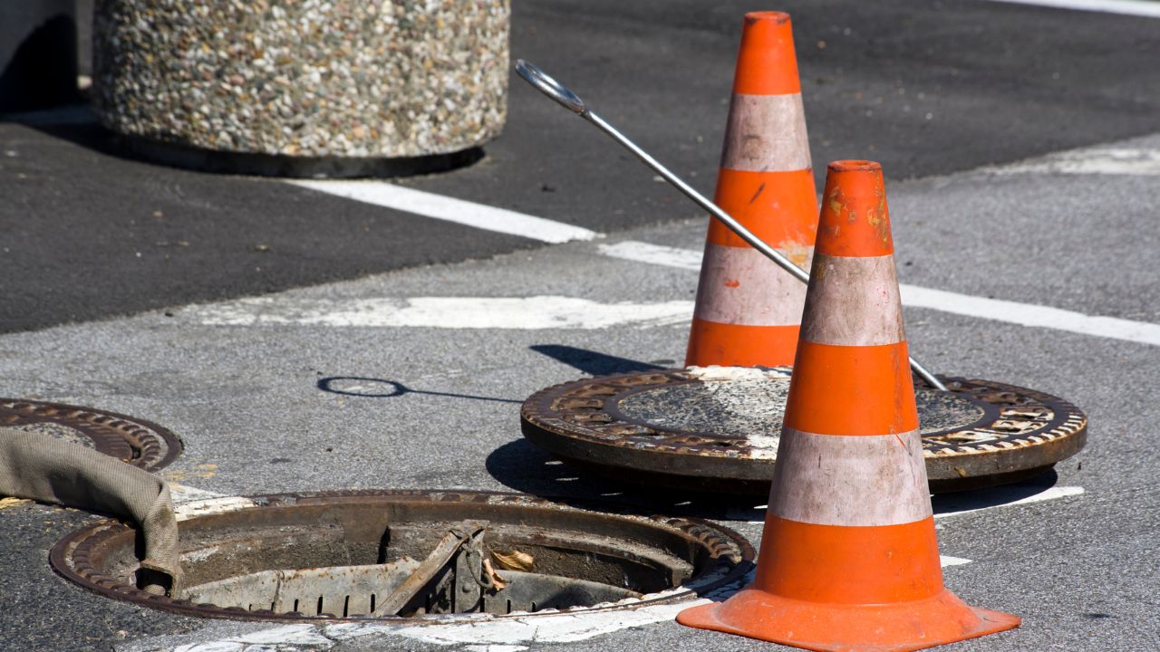
Understanding underground utilities is vital for any project involving excavation. These utilities include various types of infrastructure, such as water pipes, electrical lines, gas pipelines, and communication cables. A utility locating service helps pinpoint the exact location of these assets, ensuring safety and efficiency. Whether you are working with private or public utilities, knowing where to dig is crucial in preventing utility strikes, minimizing disruptions, and adhering to safety guidelines.
Before heading to the field, it’s essential to gather all relevant information about the site. This step involves obtaining utility records and contacting utility companies to understand the existing infrastructure. You may also need to request information from the One-Call/811 centers, which provide a consolidated utility map of public utility locations. Using utility mapping software and geospatial technology can help you prepare a detailed overview of the site.
Private utility locating services will involve working with specialized companies like Bess Utility Solutions to gather more precise data on private utility lines that may not be available through public sources. Thorough research will ensure that you don’t miss any hidden utilities, reducing the risk of accidental damage when digging.
Once the pre-field research is complete, the next step is to conduct a thorough survey on-site. Utility locating companies use several advanced techniques, such as electromagnetic locators and Ground Penetrating Radar (GPR) systems, to detect underground utilities. These tools help identify the exact location of pipes, cables, and other infrastructure.
During the survey, utility locator equipment will transmit electromagnetic signals along utility lines, allowing the technician to pinpoint their locations accurately. This step also involves marking the location of the utilities on the ground using appropriate marking materials. This clear visual indication will guide excavators and construction workers to avoid disrupting utilities.
Once the utilities are located, it’s time to mark their positions on the ground. This on-site marking process is a crucial step in the utility locating process. It ensures that the team is aware of where to dig and what to avoid. The markings typically include different colors to represent various types of utilities, such as red for electrical lines, blue for water lines, and yellow for gas pipelines.
Accurate and visible markings help prevent utility strikes, which could result in costly repairs, delays, and potentially hazardous situations. For those working on private underground utility locating services, proper marking can also reduce liability and ensure compliance with local safety regulations.
The utility locating industry continues to evolve with the introduction of cutting-edge technologies. Tools like Ground Penetrating Radar (GPR), electromagnetic locators, and even Artificial Intelligence (AI) are improving accuracy, efficiency, and safety in locating utilities. These technologies allow technicians to detect and visualize utilities deep below the surface, often without the need for invasive excavation.
Incorporating advanced technologies also helps locate utilities in challenging conditions, such as high-density urban areas or areas with complex infrastructure. This means that private utility locating services can deliver more precise data to contractors and property managers, ensuring fewer delays and reducing the risk of errors.
Once the utilities are located and marked, the next step is to compile the final deliverables. This usually includes a detailed report that outlines the locations of the utilities, as well as any relevant measurements and maps that describe the layout of the underground infrastructure. For projects that require additional precision, such as subsurface utility engineering, a high-level report utilizing utility mapping software can provide a clear, comprehensive view of the site.
These reports are crucial for any subsequent work that may involve excavation, directional boring, or trenchless technology. They also serve as valuable documentation for utility companies, property managers, and engineers. The deliverables ensure that every stakeholder is informed about the location of underground utilities and can proceed with confidence.
While the utility locating process can significantly reduce the risks associated with underground utilities, issues can still arise. Utility strikes are always a potential concern during excavation. That’s why having a reliable utility locator or utility locating services provider like Bess Utility Solutions on hand can help manage emergency responses quickly and effectively.
Using advanced technologies such as vacuum excavation or electromagnetic detection methods, technicians can help identify and resolve utility strikes immediately, minimizing damage and ensuring public safety.
For those seeking underground utility locating services in Arizona, Bess Utility Solutions offers cutting-edge solutions that streamline the process from start to finish. With our advanced utility locator equipment, expert technicians, and precise marking systems, we provide a comprehensive utility locating service that ensures the safety and success of your projects.
Contact us today to explore our private utility locating services, and let us help you navigate the complexities of underground utilities. With Bess Utility Solutions, you can confidently tackle your next project, knowing that your utilities are accurately located, clearly marked, and fully documented.


