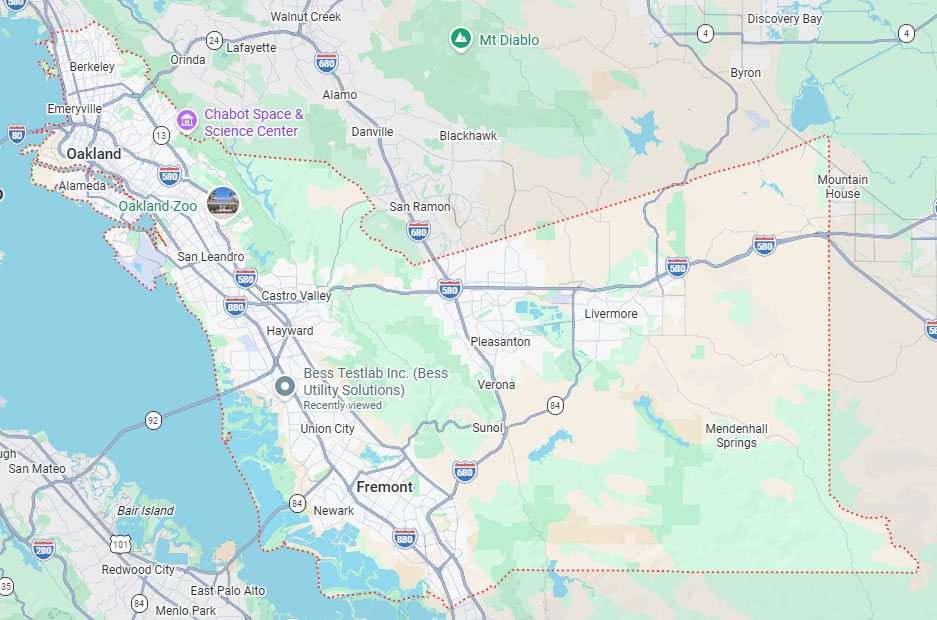
Hayward, CA
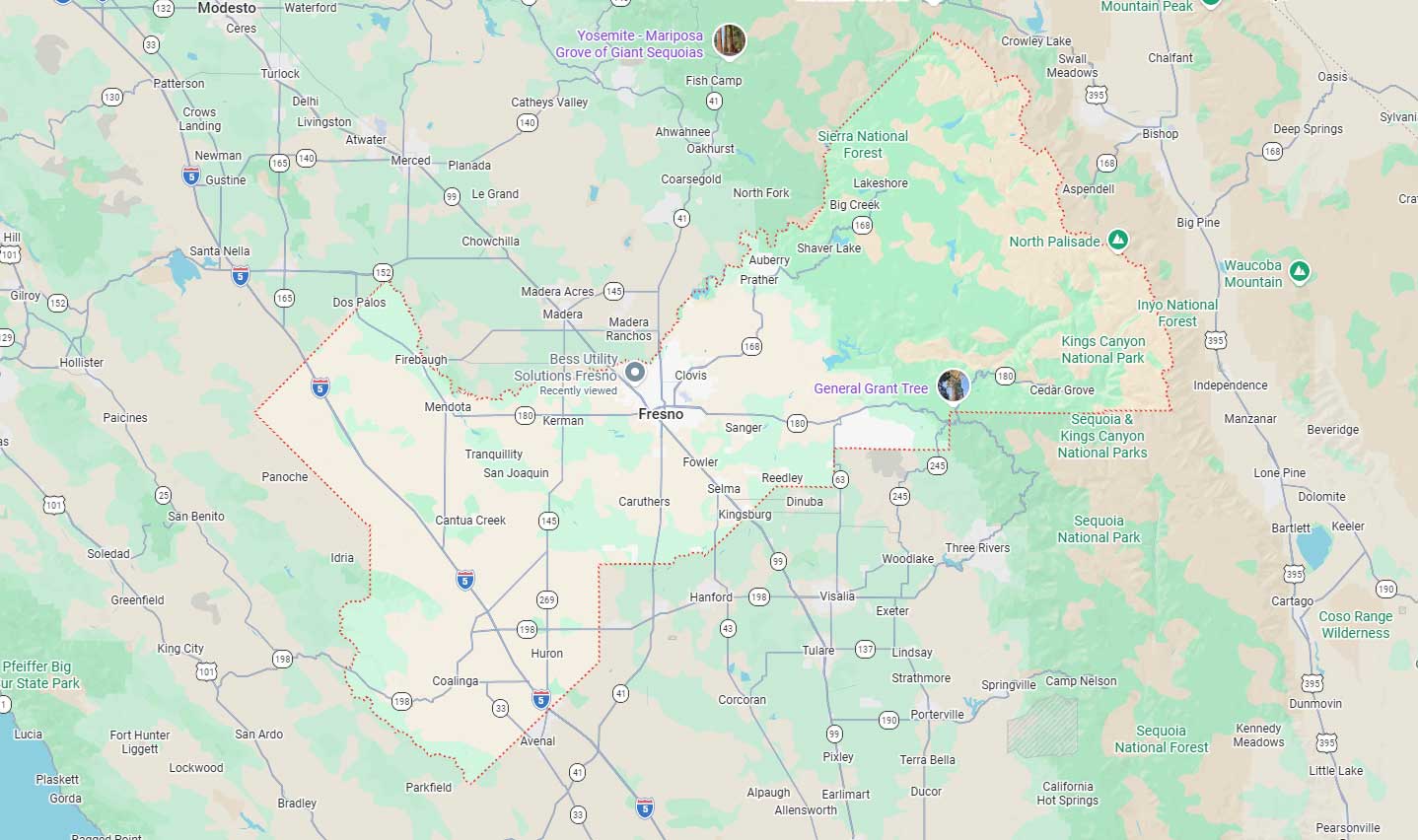
Fresno, CA
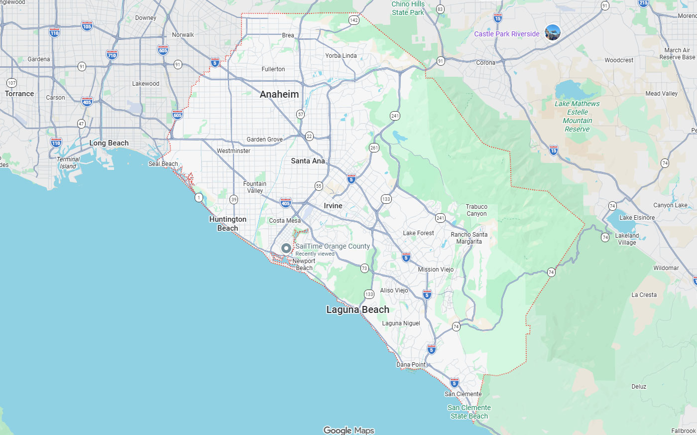
Orange, CA
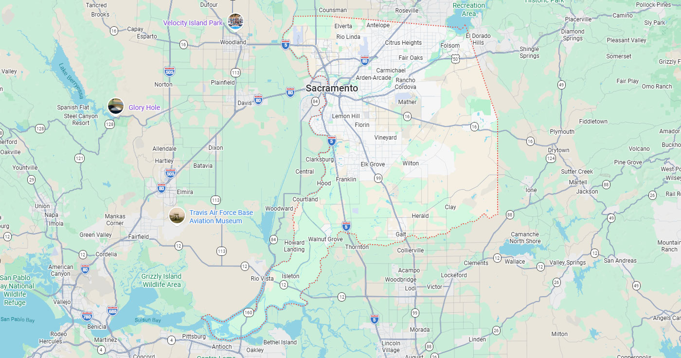
Sacramento, CA
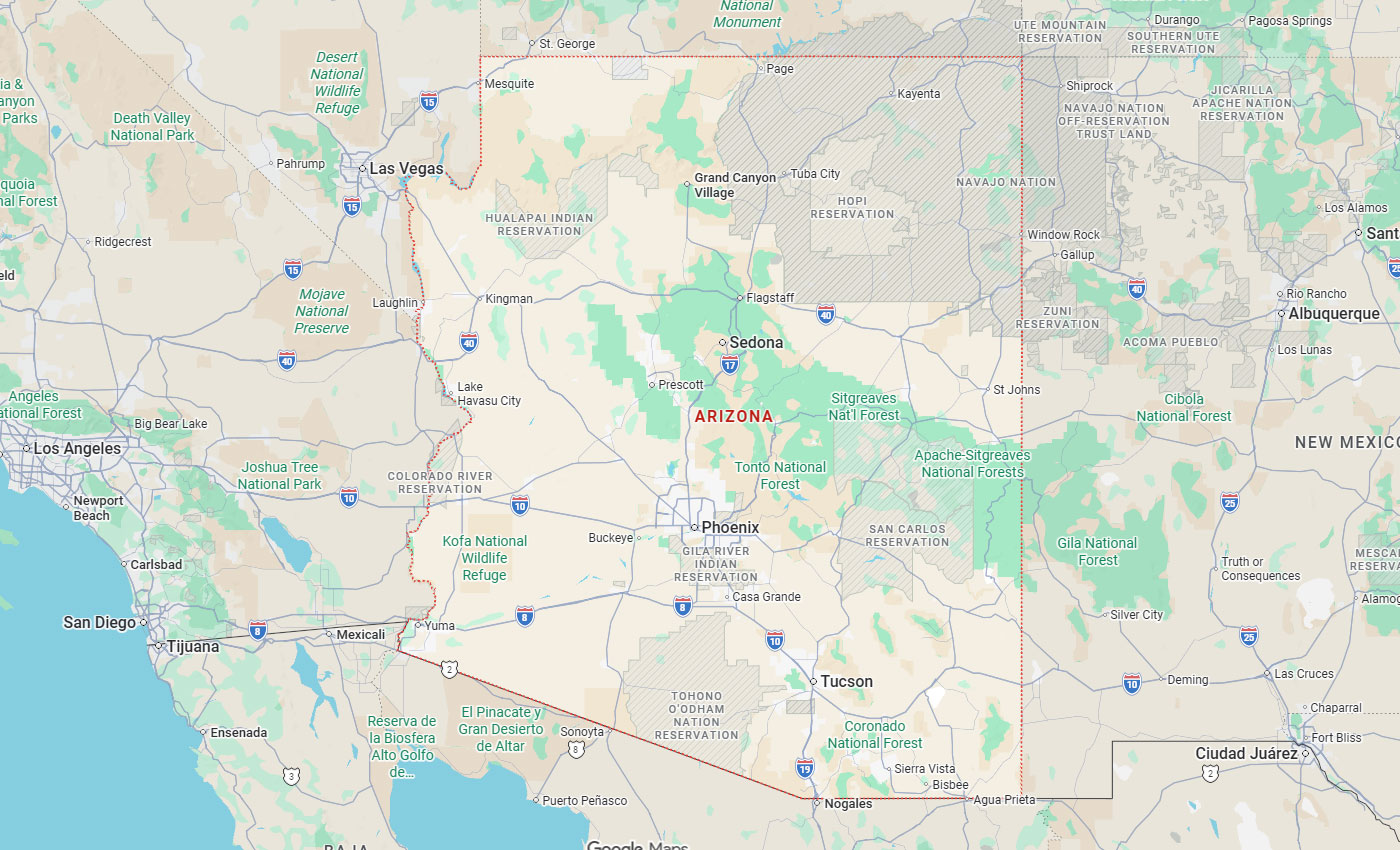
Phoenix, AZ
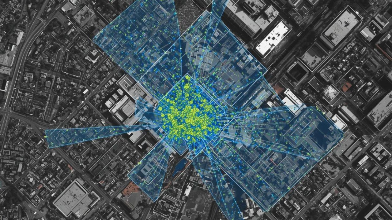
LIDAR utility relocation technology addresses California's infrastructure challenges through precision 3D mapping. Utility companies face mounting pressure to modernize aging systems while preventing wildfire risks and managing complex underground assets. Light Detection and Ranging systems deliver point cloud data that identifies clearance violations, structural vulnerabilities, and vegetation encroachment before failures occur.
California's regulatory environment and wildfire mitigation mandates have accelerated LIDAR adoption. The technology enables rapid corridor mapping, subsurface visualization, and automated risk classification across millions of acres. Project managers rely on LIDAR data to reduce California cost overruns, eliminate project delays, and ensure relocation accuracy throughout design and construction phases.
Key Takeaways
LIDAR technology measures distances by emitting laser pulses and calculating return times to generate precise 3D models. The system captures millions of data points per second to create digital representations of power lines, poles, and surrounding terrain. Point cloud data integrates with GIS platforms to support engineering design, regulatory compliance, and emergency response planning.
Mobile LIDAR mapping enables rapid asset inventory collection at highway speeds for street-level infrastructure documentation. The technology eliminates manual measurement errors while reducing field time and safety risks for utility crews. LIDAR systems provide the spatial accuracy necessary for complex utility relocation projects where existing condition surveys must account for multiple infrastructure layers.
Four primary LIDAR platforms serve utility relocation applications. Terrestrial LIDAR delivers 1-3 mm precision for substation documentation and structural analysis requiring millimeter-level tolerances. Mobile vehicle-mounted systems provide 5-20 mm accuracy while mapping urban corridors and accessible infrastructure at traffic speeds.
Drone-based platforms achieve 1-5 cm accuracy for corridor mapping, vegetation surveys, and remote terrain assessment. Helicopter-mounted LIDAR covers extensive networks efficiently for statewide mapping initiatives spanning thousands of miles. System selection depends on whether the priority is precision engineering, rapid corridor mapping, or large-scale regional surveys.
Choose terrestrial LIDAR when engineering projects demand millimeter precision for structural retrofits or detailed facility documentation. Choose mobile systems when mapping linear urban infrastructure along accessible roadways where continuous data collection maximizes efficiency. Choose drone platforms when terrain accessibility limits ground-based options or when moderate accuracy meets project requirements at lower operational costs.
Drone LIDAR achieves vertical precision between 0.4-1.2 inches compared to photogrammetry's 0.8-1.6 inch accuracy. Survey costs decrease 30-50% when using drone systems instead of manned aircraft while maintaining comparable data quality. This cost efficiency enables more frequent inspections and proactive maintenance scheduling across utility networks.
The technology identifies structural vulnerabilities in poles, crossarms, and support equipment before catastrophic failures occur. LIDAR detects ignition risks from inadequate tree clearances, enabling targeted vegetation removal and compliance with California Public Utilities Commission regulations. Vegetation encroachment creates wildfire hazards when tree branches contact energized conductors or reduce minimum clearance distances below regulatory thresholds.
California utility companies face regulatory requirements for wildfire prevention, vegetation management, and infrastructure modernization that demand accurate spatial data. State agencies recognize that traditional inspection methods cannot scale to meet current safety demands. LIDAR adoption addresses compliance mandates while improving operational efficiency and reducing liability risks.
The technology enables proactive maintenance strategies that prevent outages rather than reacting to equipment failures. Aerial mapping inspection provides comprehensive coverage for remote corridors where ground access is limited or hazardous. LIDAR data supports defensible vegetation management plans, engineering design decisions, and regulatory compliance documentation required by the CPUC.
The California Natural Resources Agency launched the WERK initiative with $30 million in state investment to create consistent vegetation mapping statewide. This program processed over 100 million acres of LIDAR data to identify wildfire risks and forest conditions across California's diverse terrain.
Utilities must demonstrate compliance with clearance regulations and vegetation management standards to maintain operating permits and avoid penalties. CPUC regulations mandate specific clearance distances between conductors and vegetation based on voltage levels and environmental conditions in high fire threat districts. LIDAR provides objective evidence of compliance through precise measurement data that withstands regulatory scrutiny.
Los Angeles and Southern California represent 28% of state LIDAR adoption, driven by dense infrastructure and aggressive wildfire mitigation programs. The San Francisco Bay Area accounts for 25% of adoption focused on complex terrain management. San Diego holds 22% adoption share, emphasizing coastal monitoring and power line network mapping.
Urban areas demonstrate 72% adoption rates for subsurface 3D mapping and asset inventory applications requiring precise building clearance verification. Rural adoption reaches 45% but grows rapidly due to wildfire prevention mandates and remote corridor mapping requirements. The Central Valley and Sacramento regions combine for 20% of adoption focused on agricultural interfaces and flood risk assessment.
GIS specialists and data analysts show 90% adoption rates as primary operators processing point clouds and integrating spatial data into asset management systems. Infrastructure engineers maintain 82% adoption for structural assessments and engineering design requiring millimeter-level accuracy. Vegetation management managers reach 75% adoption focused on encroachment detection and regulatory compliance documentation.
Utility companies prioritize accuracy as the primary decision factor when evaluating LIDAR systems for infrastructure projects requiring regulatory compliance. Risk reduction capabilities rank second as organizations seek to prevent wildfire incidents, outages, and safety violations through proactive asset monitoring. Total cost of ownership becomes the third consideration after accuracy and risk mitigation are satisfied.
The speed of data acquisition and processing influences deployment decisions where project timelines demand rapid turnaround. Coverage area capabilities determine platform selection based on whether the application requires localized high-precision scans or extensive corridor mapping. Integration with existing GIS, BIM, and asset management software ensures LIDAR data flows seamlessly into engineering workflows.
Drone systems range from $12,430 for entry-level units to over $150,000 for survey-grade equipment. Mobile LIDAR systems cost between $10,500-$60,000 depending on accuracy specifications and software integration capabilities. Terrestrial laser scanning equipment ranges from $35,000-$80,000+ for professional-grade stationary systems. Helicopter-mounted platforms represent the highest investment at $50,000-$250,000+ but provide unmatched coverage efficiency.
Software licensing adds $2,000-$15,000 annually to operational expenses beyond initial hardware acquisition costs. Maintenance expenses include sensor calibration, component replacement, and technical support agreements. The hardware segment holds 80.4% market share in LIDAR mapping markets, reflecting substantial upfront capital requirements.
Choose drone systems when project budgets are constrained, but 1-5 cm accuracy satisfies engineering requirements for corridor mapping and vegetation management. Choose mobile platforms when linear infrastructure mapping along roadways justifies moderate equipment investment for continuous data collection. Choose terrestrial systems when millimeter precision is non-negotiable for structural engineering applications, ns despite higher costs per deployment.
Subscription-based models reduce entry barriers by 40-60% for organizations testing LIDAR capabilities before committing to full equipment purchases. Mapping-as-a-service providers deliver processed point cloud data without requiring internal technical expertise or hardware investments. Total ownership costs must account for training, data storage infrastructure, and processing hardware beyond sensor equipment and software licenses.
Service-based LIDAR delivery eliminates upfront equipment costs while providing access to the latest sensor technology and processing capabilities on demand. Utilities can scale mapping coverage based on seasonal needs without maintaining full-time hardware and technical staff. Third-party providers handle data collection, processing, feature extraction, and quality control while delivering results in client-specified formats.
Choose subscription models when evaluating LIDAR applications before major capital investments or when project volumes don't justify full-time equipment ownership. Choose mapping-as-a-service when internal technical resources are limited but specific deliverables are needed for regulatory compliance or engineering projects.
AI-powered classification automatically extracts features from massive point cloud datasets that would require weeks of manual processing. Machine learning algorithms identify specific infrastructure components, vegetation types, and potential hazards with consistent accuracy across millions of data points. This automation enables utilities to analyze entire networks rather than sampling limited corridors.
Predictive analytics transform LIDAR from a documentation tool into a forward-looking risk management platform that forecasts equipment failures before they occur. Automated workflows process hundreds of miles of corridor data in days instead of weeks while maintaining quality standards that exceed manual interpretation.
Automated classification algorithms detect conductors, poles, crossarms, insulators, and vegetation in point clouds within hours of data collection. Machine learning models trained on utility-specific datasets recognize equipment types, identify defects, and flag clearance violations with minimal human oversight.
Hazard classification systems rank vegetation encroachment by ignition risk based on tree height, species, proximity to conductors, and growth rate projections. Automated analytics identify pole tilt angles, structural deformation, and equipment degradation, indicating imminent failure risks. These capabilities enable utilities to prioritize maintenance activities and allocate resources to the highest-risk areas.
AI models analyze historical failure patterns, environmental conditions, and current infrastructure states to forecast maintenance needs before equipment failures cause outages. Vegetation growth modeling predicts when specific spans will violate clearance requirements based on species characteristics and seasonal patterns.
Utilities implementing AI-powered LIDAR programs reduce outage risks by up to 70% through early detection of high-probability failure scenarios. Predictive maintenance scheduling optimizes crew deployment and material logistics by consolidating geographically proximate work orders. This approach demonstrates how utility mapping helps reduce project delays when AI-driven insights prevent work stoppages from unexpected utility strikes.
Southern California Edison uses helicopter-mounted LIDAR to inspect over 1.6 million trees across its service territory for wildfire risk assessment. SCE's program identifies specific trees requiring removal or trimming based on precise clearance measurements and growth projections generated by AI analytics.
San Diego Gas and Electric conducts system-wide high-resolution aerial LIDAR mapping covering its entire power line network. Pacific Gas and Electric adopted LIDAR in the San Francisco Bay Area for complex terrain management, where traditional inspection methods prove inadequate. These major California utilities demonstrate that AI-powered LIDAR capabilities scale effectively from localized projects to enterprise-wide risk management programs.
Platform selection must align with specific project accuracy requirements, coverage area, terrain accessibility, and budget constraints. Urban utility relocation projects benefit from mobile and terrestrial systems that capture street-level detail and building clearances with minimal traffic disruption. Rural corridor mapping requires aerial platforms that efficiently cover extensive linear infrastructure across difficult terrain.
Integrated workflows connecting field data collection, automated processing, engineering analysis, and stakeholder communication prevent bottlenecks that delay project completion. Deployment planning should account for weather windows, airspace restrictions, and site access limitations affecting LIDAR data quality.
Urban areas show 72% LIDAR adoption rates for dense infrastructure mapping requiring coordination with traffic management and right-of-way constraints. Rural areas demonstrate 45% adoption but experience rapid growth driven by wildfire mitigation mandates. Drone-based LIDAR adoption grows at approximately 20% annually as equipment costs decrease and processing capabilities improve through AI automation.
Choose terrestrial systems when substation retrofits or structural engineering projects demand millimeter-level accuracy that aerial platforms cannot achieve. Choose mobile platforms when mapping linear urban infrastructure where vehicle-mounted sensors collect continuous data along accessible corridors. Choose helicopter systems when extensive regional surveys covering thousands of miles justify higher operational costs for maximum coverage efficiency.
Point cloud processing requires significant computational capabilities and specialized software for classification, feature extraction, and coordinate transformation. High-resolution datasets generate massive file sizes, demanding storage infrastructure and network bandwidth for team collaboration across distributed engineering groups.
Workflow automation through scripting and AI classification reduces processing time from weeks to days for typical utility corridor projects spanning hundreds of miles. Software integration with AutoCAD Civil 3D, Bentley MicroStation, and ESRI ArcGIS enables direct use of LIDAR data in engineering design. Cloud-based processing platforms provide scalable computational resources without requiring organizations to maintain expensive local hardware.
Flight planning must account for weather conditions, airspace regulations, and solar angle to optimize LIDAR data quality and minimize collection costs. Ground control points establish absolute coordinate accuracy for projects requiring integration with existing survey data. Multiple scan positions ensure complete coverage of complex structures without data gaps from occlusion.
Quality control procedures verify point cloud accuracy against known survey monuments before teams begin feature extraction and engineering analysis. Validation protocols catch systematic errors from GPS signal degradation, sensor calibration drift, or processing mistakes before incorrect data enters design workflows. Surveying and mapping professionals integrate LIDAR data with traditional survey methods to deliver comprehensive site documentation for utility relocation projects. Key personnel with LIDAR expertise should review deliverables to confirm that accuracy standards are met.
LIDAR data eliminates surprises during construction by revealing existing conditions before excavation begins and conflicts emerge. Accurate as-built documentation enables engineering teams to design relocations that avoid interference with adjacent utilities, structures, and natural features. Proactive identification of clearance violations and subsurface conflicts prevents work stoppages that trigger schedule delays and budget overruns.
Project managers use LIDAR for progress monitoring by comparing field conditions against design models to verify contractor performance. Real-time visualization of construction status improves communication with stakeholders who need to understand project advancement without visiting active work zones.
As-built verification through periodic LIDAR scans documents contractor work quality and identifies deviations from approved plans before deficiencies compound. Point cloud comparisons between design models and actual field conditions quantify earthwork volumes, verify grading compliance, and confirm structural placement accuracy.
This objective documentation prevents disputes over completed work quantities and supports payment certifications. Progress tracking dashboards generated from LIDAR data provide stakeholders with visual confirmation of project status without requiring site visits. Early detection of installation errors enables corrective action before subsequent trades begin work dependent othe n previous phase accuracy.
Subsurface conflict identification before excavation begins prevents costly work stoppages, emergency repairs, and liability from utility strikes. Professional utility locating services combined with LIDAR data, ground-penetrating radar, and vacuum excavation create comprehensive pre-construction documentation that reduces uncertainty and contingency requirements.
Accurate existing condition surveys enable realistic scheduling based on known constraints rather than assumptions. Weather window planning improves when terrain models from LIDAR predict drainage patterns, erosion risks, and areas requiring special precautions. Coordination with adjacent projects becomes more effective when accurate spatial data reveals potential conflicts and enables proactive resolution.
Three-dimensional visualizations from LIDAR data help non-technical stakeholders understand complex spatial relationships that 2D drawings fail to convey. Project owners, regulatory agencies, and community groups grasp design intent and construction impacts more readily through intuitive 3D models. Clear visual communication reduces misunderstandings that lead to project opposition, permit delays, and mid-construction design changes.
Virtual site walks using LIDAR point clouds enable remote collaboration between distributed teams without travel costs and scheduling conflicts. Design reviews become more productive when engineers, architects, and contractors examine detailed existing conditions together through shared digital models.
LIDAR utility relocation delivers the precision and efficiency California projects demand. The technology eliminates costly surprises, reduces California cost overruns, and prevents project delays through accurate existing condition documentation. From wildfire mitigation compliance to complex underground mapping, LIDAR transforms how utilities approach relocation accuracy and risk management.
At Bess Utility Solutions, we help infrastructure teams leverage advanced LIDAR mapping technologies across California's most challenging projects. Our expertise ensures you maximize ROI while meeting regulatory requirements and project timelines. Contact us today to discuss how LIDAR integration can improve accuracy, eliminate delays, and protect your project budget from unexpected utility conflicts.