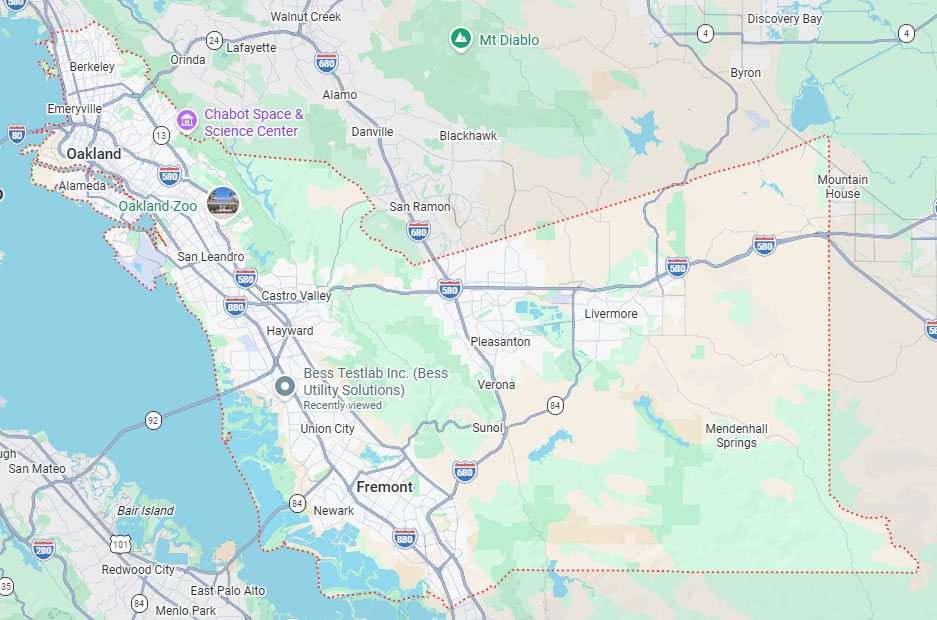
Hayward, CA
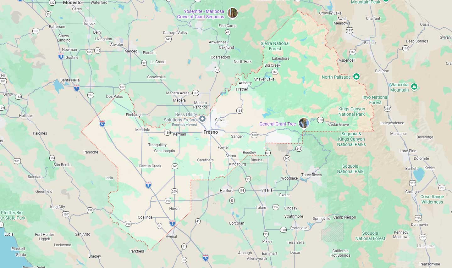
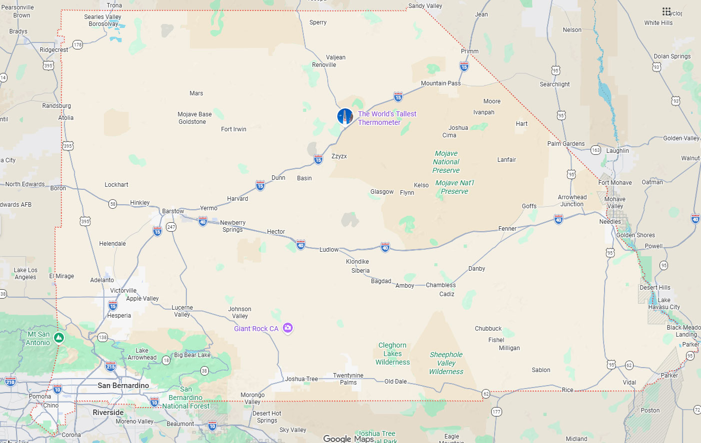
Fresno, CA
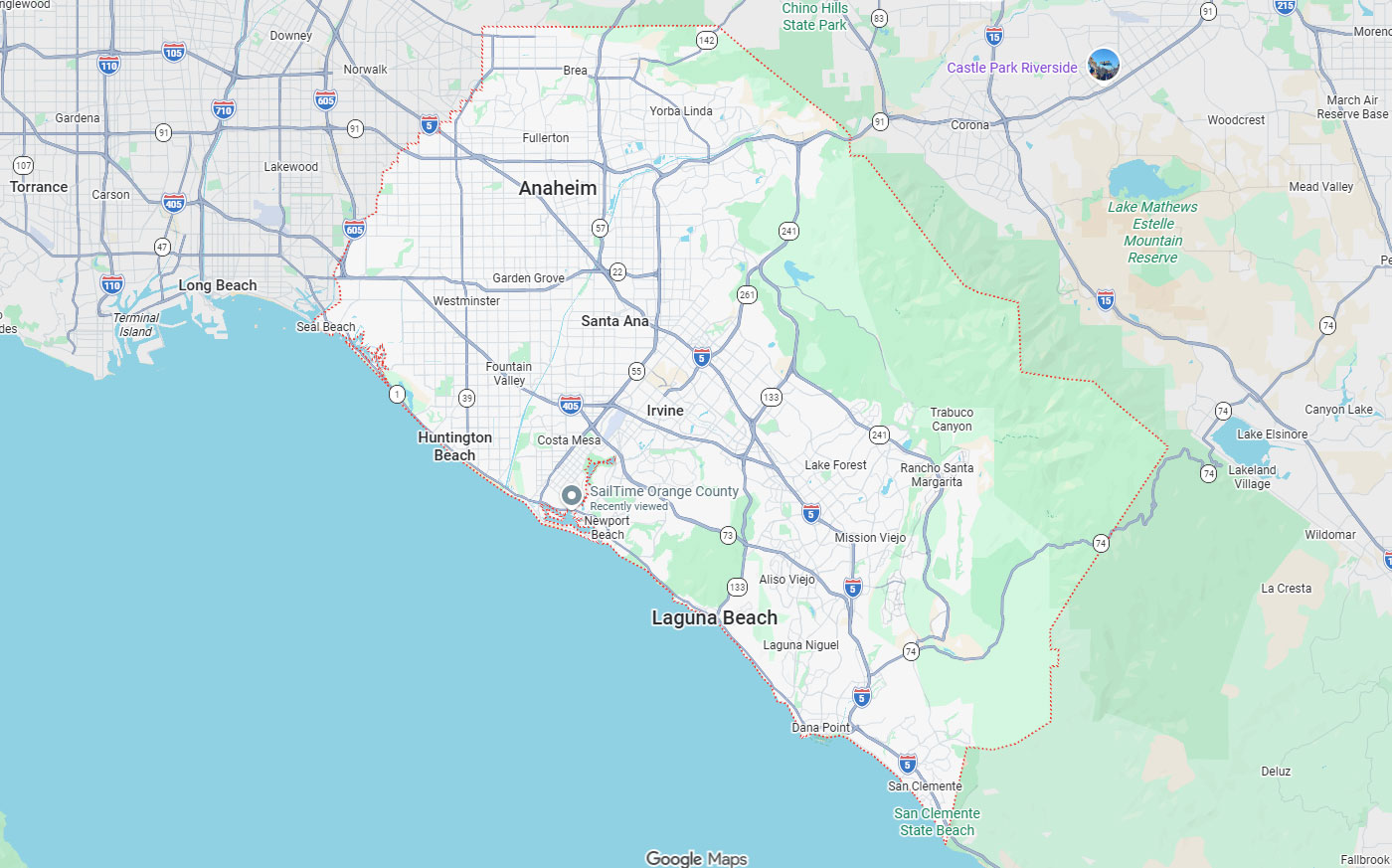
Orange, CA
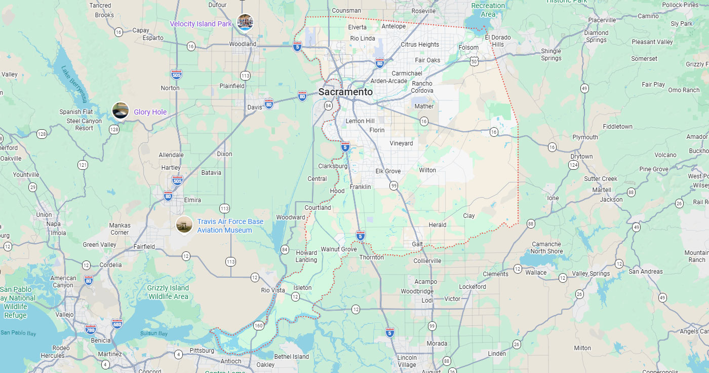
Sacramento, CA
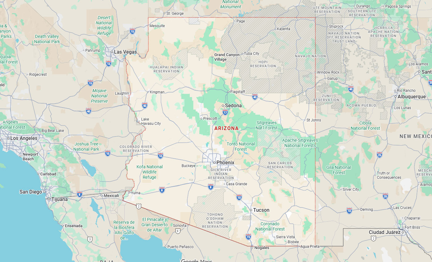
Phoenix, AZ

Utility locating services in San Francisco sit at the center of every excavation plan, because crews here work through dense utility corridors and strict right-of-way rules. Professional underground utility locating and detection.
Below, you will find the California and San Francisco compliance requirements that govern excavation work, the coverage gaps left by public utility notification, the locating technologies contractors can apply to each site condition, and the cost and schedule planning steps that keep projects moving. The guidance applies to excavation, trenching, boring, utility installation, and roadway work across San Francisco and the wider Bay Area.
Key Takeaways
Excavation projects in San Francisco must satisfy California state law, Cal/OSHA safety regulations, and local right-of-way permit requirements. Contractors who fail to meet notification, marking, or permit obligations face legal liability, work stoppages, and potential fines.
California requires non-emergency excavation notifications at least two working days and not more than 14 calendar days before excavation. The legal excavation start date and time is two working days after notification, not including the date of notification, unless a later date or time is specified within the statutory window.
Before notifying the regional notification center, an excavator must delineate the proposed excavation area. If the proposed excavation area is not delineated, operators may choose not to locate and mark until delineation is done.
Excavation may not commence until the excavation area has been marked and the excavator has received positive responses from all known owner/operators.
The tolerance zone is the area where excavators must determine the exact utility location using hand tools before using power-driven excavation or boring equipment.
Excavators must presume subsurface installations are active and use the same care around inactive facilities as active ones. If excavation is within 10 feet of a high-priority subsurface installation, notification by the facility owner/operator is required before the legal excavation start date.
Contractors should plan for coordination delays and verification steps when working near gas, electric, or other high-priority lines.
A General Excavation permit allows a licensed contractor to excavate and restore sidewalk and roadway pavement in the public right-of-way to install, repair, or replace a utility facility serving an individual property.
General Excavation permittees must call Underground Service Alert 72 hours before excavation, separate from the state notification window.
San Francisco excavation permit and bond requirements at a glance:
| Permit or Requirement | Threshold | What Contractors Must Provide |
| General Excavation permit | Utility facility work serving an individual property | Permit application, drawings, and a utility company letter of authorization naming the trenching agent |
| Street Excavation Bond | Minimum $25,000 | Pavement and trench maintenance coverage for three years after work |
| Utility Excavation registration | $25,000 deposit | Registration on file before excavation in the public right-of-way |
| Underground Service Alert call | 72 hours before excavation | Ticket number and positive responses from all known owner/operators |
| Site posting | Minimum 72 hours, all permit sizes | Posted notice at the work location |
| Inspection scheduling | At least 10 days before work | Inspection request submitted to San Francisco Public Works |
Public utility notification through 811 coordinates responses from registered owner/operators but leaves gaps in coverage for private utilities, outdated records, and complex urban sites. Contractors who rely solely on 811 tickets may encounter unmarked utilities that cause strikes, delays, and safety incidents.
811 notifications coordinate public utility owner/operators, but private utilities on commercial or industrial sites or private property may not be marked through the 811 process. Late responses from utility locators can delay excavation schedules and compress project timelines.
In 2023 and 2024, a 38% weighted average of locate requests had late responses. The 2024 late response range across eight 811 centers was 6% to 73%.
Private utility locating becomes necessary when 811 notification does not cover all subsurface infrastructure on a project site.
Contractors working on private property or in areas with known abandoned utilities should plan for private utility locator services to identify unmarked lines. Concrete slabs, congested utility corridors, and high-consequence work near gas or electric facilities also justify private locating before mechanical excavation.
Safety risk from gas, electric, and high-priority installations rises in dense urban environments like San Francisco.
Older neighborhoods with incomplete as-built records present higher strike risk. Contractors should evaluate site age, utility density, and consequence severity when deciding whether to add private locating services.
Underground utility locating services use multiple technologies to detect, identify, and verify subsurface infrastructure before excavation. Each method has strengths and limitations that make it suitable for specific site conditions and contractor needs.
Electromagnetic utility locating is strongest for metallic utilities or conductive lines where a signal can be induced or detected. GPR is useful for both metallic and non-metallic anomalies, pavement or slab investigations, and congested areas.
GPR results should be reported with stated limitations rather than guaranteed depth or identification.
CCTV and sonde locating are useful for non-metallic sewer, storm, or conduit routes when access points exist. This method provides visual confirmation of pipe condition and alignment.
Contractors can use CCTV inspection to verify underground pathways before trenching or directional boring. Sonde transmitters inserted into pipes allow surface tracking of non-metallic utility routes.
Vacuum excavation and potholing provide physical confirmation of utility depth, alignment, material, and condition. ASCE 38-02 Quality Level A refers to data reliability achieved through vacuum excavation or potholing.
Vacuum excavation may be used under statutory conditions when the operator agrees. Physical verification through potholing reduces uncertainty and supports tolerance-zone compliance before mechanical excavation.
How each locating method compares on a San Francisco site:
| Method | Detects | Suited To | Limitation to Communicate |
| Electromagnetic locating | Metallic and conductive lines where a signal can be induced or traced | Traceable utilities with access points, open ground, routine pre-dig marking | Non-metallic lines without a traceable signal fall outside its range |
| Ground penetrating radar (GPR) | Metallic and non-metallic anomalies, voids, slab contents | Pavement and slab investigations, congested corridors, concrete cutting and coring prep | Depth and identification are estimates, not guarantees; soil and moisture affect returns |
| CCTV and sonde locating | Interior condition and alignment of sewer, storm, and conduit runs | Non-metallic pipe routes where access points exist | Requires an entry point, and blockages can stop the run short |
| Vacuum excavation and potholing | Verified depth, alignment, material, and condition | Tolerance-zone verification, design confirmation, high-consequence crossings | Point-specific results, so multiple potholes may be needed along a route |
Contractors must account for permit approval timelines, posting requirements, and service coordination when planning excavation schedules. Cost planning should include permit fees, bond or deposit requirements, and private locating service factors.
Small-size permits cover projects under 15 days and may be approved within 5 business days. Medium and large permits cover projects of 15 days or longer and may take up to 25 business days.
Scope variables that drive private locating and potholing quotes:
| Scope Variable | Range Contractors Should Specify |
| Work type | Trenching, boring, coring, utility installation, roadway work, site redevelopment |
| Utility types in scope | Gas, electric, water, sewer, storm, telecom or fiber, private laterals |
| Surface type | Soil, asphalt, concrete, sidewalk, roadway |
| Site access and traffic | Open site, active lanes, tow-away zones, night or weekend windows |
| Deliverable level | Paint and flags, annotated photographs, PDF report, CAD, GIS, or georeferenced files |
| Verification depth | Locate and mark only, or locate plus potholing at designated crossings |
Defining these variables in the request for quote produces comparable pricing and avoids change orders once crews are on site.
Schedule risk from waiting on locates, permits, inspections, restoration, tow-away and no-parking signs, traffic control, and right-of-way coordination can extend project timelines. Contractors who integrate utility locating workflow steps into preconstruction planning reduce downtime.
Coordinating 811 notification, private locating, potholing, permit applications, and inspection scheduling in parallel minimizes delays, and early identification of private utilities lets contractors adjust scope before mobilization.
Excavation projects carry legal, safety, and financial risks that increase when utility locations are unknown or improperly verified. Proactive planning and verification reduce exposure to strikes, delays, and claims.
Legal risks from missing required notifications, markings, positive responses, tolerance-zone practices, and local permit requirements can result in work stoppages and liability. Contractors must satisfy both California 811 requirements and San Francisco permit conditions before excavation.
Safety risks include gas leaks, electrical contact, and water main ruptures that endanger workers and the public. Proper locating, marking, and hand-digging within tolerance zones reduce incident probability.
Industry damage reporting shows why verification steps pay for themselves.
Reported damage data contractors can use to justify verification spend:
| 2024 Reported Damage Measure | Figure | What It Signals for Planning |
| Unique reported damages | 196,977 | Strike volume remains high across the industry, so verification steps carry measurable value |
| Telecommunications facilities damaged | 49% of reported facilities | Fiber and telecom runs are the most frequently hit assets on active sites |
| Natural gas facilities damaged | 39% of reported facilities | High-consequence lines account for a large share of incidents |
| Notification failures | 26% of damages | Ticket discipline and delineation reduce a quarter of the exposure |
| Locating practices | 34% of damages | Marking accuracy and coverage are the single largest contributor |
| Excavation practices | 33% of damages | Tolerance-zone hand digging and crew training remain essential controls |
| Ten most frequent root causes | Nearly 85% of all damages | A focused set of controls addresses most incidents |
Abandoned or inactive utilities that may not appear in 811 responses still require the same care as active lines.
Concrete cutting, coring, or slab work often requires GPR scanning to identify subsurface line detection services before drilling. High-consequence sites near hospitals, data centers, or critical infrastructure justify additional verification steps.
Accurate documentation of utility locations, depths, and materials supports compliance, reduces field uncertainty, and provides defensible records if disputes or incidents occur. Contractors should specify deliverable requirements when requesting locating services.
General Excavation permittees must verify locations of City or public-service utility facilities affected by the work. Construction project utility mapping integrates field locate data, as-built drawings, and physical verification results into a single reference document.
Mapping can be delivered as marked surfaces, annotated photographs, PDF reports, or CAD drawings. Georeferenced mapping overlays utility locations onto aerial imagery or site plans for design coordination.
Paint and flags provide field marking but no permanent record, and any depth estimate carries the limitations of the method used.
PDF reports with photographs and line overlays offer portable documentation. CAD or GIS deliverables support design integration and future reference.
General Excavation permittees must schedule an inspection at least 10 days before work. Accurate documentation demonstrates due diligence and supports positive inspector findings.
Contractors can use locating reports to show compliance with notification, marking, and tolerance-zone requirements. Documentation also reduces liability exposure if strikes occur despite proper precautions.
San Francisco excavation projects in public right-of-way require coordination with traffic control, street space permits, and public agency requirements. Contractors must plan for permit fees, signage, inspection scheduling, and owner notification timelines.
Street Space permits are charged in twenty-foot intervals. Permit fees usually combine administrative fees, inspection fees, and supplemental fees such as Street Space and no-parking signs.
Contractors working in public right-of-way must obtain traffic control plans and crews that meet SFMTA Blue Book requirements. Coordination with tow-away zones and no-parking signage adds cost and schedule pressure.
The 10-day hanger and 30-day notice required on medium and large permits extend preconstruction timelines beyond 811 notification windows.
Moratorium streets, special events, and peak traffic periods can further restrict work windows. Contractors should confirm street restrictions and seasonal limitations during permit planning.
General Excavation permittees must follow SFMTA Blue Book requirements for traffic control and lane closures.
Early coordination with San Francisco Public Works, utility owner/operators, and inspection staff reduces approval delays. Contractors should maintain contact with permit coordinators throughout project execution to address field changes or inspection findings.
Cost risk from project downtime, emergency repairs, restoration, fines, claims, rework, and subcontractor delays often exceeds the direct cost of private locating and potholing.
Contractors who integrate utility locating into preconstruction planning reduce strike probability, maintain schedule confidence, and satisfy California and San Francisco compliance requirements. Balancing public 811 notification with private locating, GPR scanning, and vacuum excavation ensures that subsurface conditions are verified before mechanical excavation begins. Bess Utility Solutions supports contractors throughout California with underground utility locating, vacuum excavation, GPR concrete scanning, CCTV pipeline inspection, and traffic control coordination for excavation projects in San Francisco and the Bay Area.
Bess Utility Solutions has spent 29 years locating and verifying buried infrastructure for general contractors, engineering firms, utility owners, cities, and counties across California. Our crews are CPUC certified, MBE and DBE certified, licensed, and insured, and they work to the ASCE 38-02 standard engineers expect on subsurface utility engineering scopes. From our Hayward office, we cover San Francisco and the wider Bay Area.
Send us your site address, dig window, and scope, and we will tell you exactly which locating steps your project needs before mechanical excavation starts. Call 408.988.0101 to reach a scheduler, request a quote online for written pricing, or contact our team with questions about permits, posting periods, or deliverable formats. You can also review the California and Arizona areas we serve to confirm coverage for multi-site programs.
A. California requires non-emergency excavation notifications at least two working days and not more than 14 calendar days before excavation begins. The legal start date and time is two working days after notification, not counting the notification date. San Francisco General Excavation permittees also have a separate condition to call Underground Service Alert 72 hours before excavation. Work cannot begin until the area has been marked and you have positive responses from every known owner/operator.
A. No. The 811 process coordinates registered public utility owner/operators, so private utilities on commercial property, industrial facilities, and privately owned laterals are frequently left unmarked. Abandoned lines and undocumented service connections also fall outside many responses. If your dig area includes private property or any line the property owner maintains, a private locator needs to sweep the site first.
A. A General Excavation permit lets a licensed contractor excavate and restore sidewalk and roadway pavement in the public right-of-way to install, repair, or replace a utility facility serving an individual property. The application needs drawings and, in most cases, a utility company letter of authorization naming the contractor as trenching agent. You must carry a Street Excavation Bond of at least $25,000, and Utility Excavation registration carries a $25,000 deposit. All permits require a minimum 72-hour posting, and inspection must be scheduled at least 10 days before work.
A. GPR earns its place when you need to see non-metallic lines, check what sits inside a concrete slab before cutting or coring, or work through a congested corridor where electromagnetic tracing leaves gaps. It reads both metallic and non-metallic anomalies, which helps on older San Francisco blocks with incomplete as-built records. Results should be reported with limitations rather than guaranteed depths, because soil type and moisture affect signal returns. On high-consequence crossings, contractors pair a GPR sweep with potholing for physical confirmation.
A. Small-size permits cover projects taking fewer than 15 days and may be approved within 5 business days. Medium and large permits cover projects of 15 days or longer and may take up to 25 business days, plus a 10-day hanger and a 30-day notice to fronting owners and businesses. Moratorium streets, curb ramp work, special events, and added scope can push these dates further. Submit early and confirm street restrictions during planning.