Hayward, CA
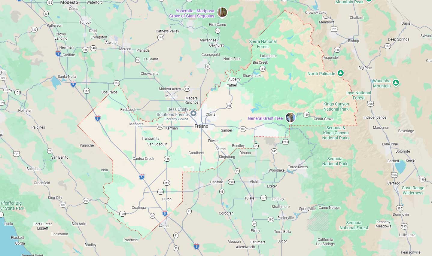
Fresno, CA
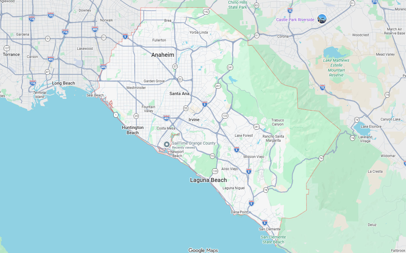
Orange, CA
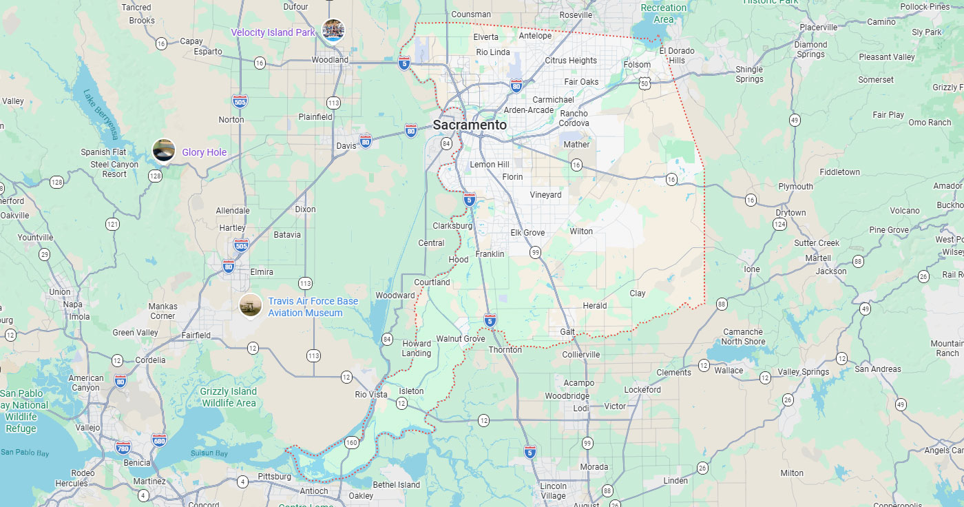
Sacramento, CA
Phoenix, AZ
LIDAR scanning delivers precise three-dimensional data that transforms risk management in California utility construction. This technology identifies hazards before they escalate into costly failures or safety incidents. Advanced sensor systems capture millions of coordinate points to create detailed digital models of infrastructure and surrounding environments.
Utilities across California face increasing pressure to prevent wildfires, maintain aging infrastructure, and comply with stringent regulations. Traditional site surveying methods cannot match the speed, accuracy, and comprehensive coverage that LIDAR provides. The technology enables proactive decision-making by revealing structural vulnerabilities, vegetation encroachment, and clearance violations.
Key Takeaways
LIDAR stands for Light Detection and Ranging, a remote sensing method using laser pulses to measure distances. The technology creates three-dimensional representations of physical environments by calculating the time it takes for light to return to the sensor. Utility companies apply LIDAR for corridor mapping, asset inspection, and risk assessment across vast infrastructure networks.
Point cloud data forms the foundation of LIDAR applications in utility work. Each laser pulse generates a coordinate point that combines with millions of others to form detailed spatial datasets. Processing software converts this raw data into actionable intelligence for engineering analysis and maintenance planning.
LIDAR systems integrate laser scanners, GPS receivers, and inertial measurement units to capture accurate spatial data. The laser emits rapid pulses that reflect off surfaces and return to the sensor. GPS and IMU components ensure each point receives correct geographical coordinates despite sensor movement.
Point cloud datasets contain millions of three-dimensional coordinates representing scanned surfaces. Software platforms classify these points such as ground, vegetation, structures, and conductors. This classification enables automated detection of hazards and measurement of critical clearances.
Terrestrial LIDAR uses stationary or tripod-mounted scanners for high-precision engineering tasks requiring millimeter-level accuracy. Terrestrial laser scanning captures detailed measurements of substations, pole structures, and equipment installations. These ground-based systems excel when extreme precision matters more than coverage speed.
Mobile LIDAR mounts sensors on vehicles to map infrastructure at driving speeds. Vehicle-mounted systems efficiently survey urban corridors and accessible utility routes while maintaining moderate to high accuracy. Drone-based UAV LIDAR combines the coverage advantages of aerial systems with lower operational costs than helicopter platforms. Unmanned aerial systems reduce survey expenses by 30-50% compared to traditional manned aircraft operations.
California's unique combination of dense infrastructure, wildfire-prone landscapes, and strict regulations creates extraordinary risk exposure. Catastrophic failures from undetected hazards can trigger massive liability claims and regulatory penalties. Utilities must identify and remediate risks before they manifest as ignition sources or service interruptions.
The state's regulatory environment demands proactive hazard identification and documentation of mitigation efforts. Utilities face scrutiny from multiple agencies overseeing grid safety, environmental protection, and public welfare. Effective risk reduction protects both public safety and the financial stability of utility operations.
Inadequate clearances between vegetation and energized conductors have caused numerous wildfire ignitions across California. State regulators now mandate specific clearance distances and comprehensive vegetation management programs. Utilities must demonstrate continuous monitoring and rapid response to emerging hazards.
Catastrophic failures from undetected wildfire hazards result in devastating property loss and loss of life. The financial consequences include billions in liability claims, criminal prosecution, and forced bankruptcy. Safety protocols now prioritize prevention through advanced detection technologies rather than reactive responses.
Unmanaged vegetation growth creates grid reliability problems by increasing outage frequency during wind events. Trees and branches contact lines during storms, causing service disruptions that affect thousands of customers. Regulatory compliance frameworks require utilities to maintain specific clearance zones documented through verifiable measurements.
California's diverse terrain and extensive utility networks demand scalable inspection solutions. Manual inspection of remote corridors proves time-consuming, expensive, and potentially dangerous for field personnel. Aerial mapping inspection provides comprehensive coverage while reducing crew exposure to hazards.
Processing hundreds of miles of corridor data manually requires weeks of work by trained technicians. Traditional methods rely on field crews visually assessing conditions and recording observations in paper or simple digital formats. The time delay between data collection and analysis limits the ability to respond to rapidly developing hazards.
Manual inspection introduces variability in measurement accuracy and subjective interpretation of clearance compliance. Different inspectors may assess the same condition differently, creating inconsistency in risk ratings. Automated LIDAR analysis provides objective, repeatable measurements that support defensible decision-making during regulatory audits.
LIDAR technology addresses specific risk categories through targeted applications across the utility project lifecycle. Each application provides distinct value by solving particular inspection or measurement challenges. The global corridor mapping LIDAR market reached USD 1,026.9 million in 2024, reflecting widespread adoption.
Different project phases benefit from different LIDAR deployment strategies and sensor configurations. Site surveying during planning uses comprehensive area scans, while construction monitoring employs targeted inspections of specific features. Surveying and mapping services integrate multiple data sources to create complete site intelligence.
Corridor mapping creates high-density three-dimensional representations of linear infrastructure and surrounding environments. Single-pass helicopter surveys efficiently cover extensive transmission networks spanning hundreds of miles. Multi-pass drone operations provide detailed coverage of distribution corridors where precision matters more than speed.
LIDAR-based power line inspection measures conductor sag, clearance violations, and structural deviations from design specifications. The technology detects conditions invisible to visual inspection, such as subtle changes in conductor height or pole tilt. Accurate measurements support engineering calculations for load capacity and failure risk assessment.
Vegetation encroachment management uses automated algorithms to identify trees approaching minimum clearance distances from energized conductors. Southern California Edison manages over 1.6 million trees using helicopter-mounted LIDAR systems that inspect entire service territories. The utility can determine exact distances between vegetation and power lines to prioritize trimming operations.
Southern California Edison's LIDAR program enables field crews to work efficiently by identifying which trees require immediate attention. Detailed spatial data eliminates guesswork and ensures compliance with regulatory clearance requirements. This approach transforms vegetation management from reactive crisis response to planned maintenance. AI-powered vegetation management can cut outage risks by up to 70% through earlier intervention.
AI-powered classification enables automated detection of wire sag exceeding acceptable limits and pole tilt indicating foundation problems. Software analyzes point cloud data to identify deviations from normal conditions without manual review. This automation accelerates inspection workflows and ensures consistent application of structural safety criteria.
LIDAR captures precise measurements of equipment positioning, support structure alignment, and attachment point geometry. The data support engineering calculations for load analysis and failure mode assessment. Mobile LIDAR mapping efficiently surveys accessible infrastructure while maintaining survey-grade accuracy for structural evaluation.
Geographic and demographic factors create distinct regional patterns in LIDAR adoption across California. Urban areas show 72% adoption rates compared to 45% in rural regions. Environmental risks, infrastructure density, and regulatory pressure drive investment decisions at individual utilities.
Regional variation in adoption reflects different risk profiles and operational priorities. Coastal utilities prioritize corrosion monitoring and right-of-way encroachment, while inland utilities focus on wildfire prevention. Statewide initiatives now provide baseline data that smaller utilities leverage without individual investment.
Urban environments demand precise asset inventory and building clearance verification due to dense infrastructure. Metropolitan areas concentrate utility assets in constrained corridors where millimeter-level accuracy matters. High property values and customer density justify the investment in frequent, detailed scanning.
Rural adoption accelerates in response to wildfire prevention mandates requiring comprehensive vegetation monitoring. Remote transmission corridors cross difficult terrain where traditional inspection proves inefficient. Aerial LIDAR provides the only practical method to systematically assess conditions across vast, inaccessible areas.
Pacific Gas and Electric adopted comprehensive LIDAR programs in the San Francisco Bay Area following devastating wildfire events. The utility uses aerial scanning to identify hazards across its extensive service territory. San Diego Gas and Electric completed system-wide aerial LIDAR mapping covering its entire power line network.
The California Natural Resources Agency launched the WERK initiative with $30 million in state investment. SCE established a dedicated LIDAR program in 2023 ,specifically targeting wildfire prevention through enhanced vegetation management. These programs demonstrate institutional commitment to technology-enabled risk reduction.
The WERK initiative processed over 100 million acres of LIDAR data to create California's first consistent statewide vegetation map. This Wildfire, Ecosystem Resilience, and Risk Assessment program provides baseline data accessible to all utilities. Standardized datasets enable smaller utilities to benefit from LIDAR without bearing full acquisition costs.
Statewide data availability accelerates regulatory compliance by providing verified measurements of forest conditions and fuel loads. Utility locating services prevent accidents by ensuring crews have access to comprehensive site information before excavation. Shared datasets reduce redundant data collection and promote consistent risk assessment methodologies.
Successful LIDAR implementation requires coordination across multiple professional disciplines with distinct expertise. GIS specialists achieve 90% adoption rates, followed by infrastructure engineers at 82%. Each role contributes specific knowledge to transform raw point cloud data into operational decisions.
Professional adoption patterns reflect the technical skills required to extract value from LIDAR datasets. Data-intensive workflows demand proficiency in specialized software and analytical methods. Project managers at 68% adoption coordinate these diverse specialists to achieve project objectives.
GIS specialists process point cloud data and integrate findings into enterprise asset management systems. These professionals create digital twins that support predictive maintenance and infrastructure planning. They tend to be younger professionals with strong technical backgrounds in geospatial analysis.
Data analysts develop classification algorithms that automate feature extraction from massive LIDAR datasets. Their work enables AI-powered hazard detection that identifies risks without manual review. Subsurface 3D mapping combines LIDAR surface data with underground utility intelligence for comprehensive site understanding.
Utility engineers rely on LIDAR measurements for structural assessments, sag analysis, and system design calculations. They span broader age ranges and value the millimeter-level precision that terrestrial systems deliver. Engineering applications require strict accuracy standards to ensure calculations meet safety factors.
Vegetation management managers use LIDAR to identify encroachment before it creates outage or ignition risks. They prioritize coverage speed and automated risk analytics over extreme precision. California utility construction projects increasingly integrate vegetation data with engineering models to assess combined risks.
Project managers use LIDAR for construction progress monitoring and site planning verification. The technology prevents costly delays by identifying conflicts before field crews mobilize. Real-time data access enables faster decision-making and reduces the need for site visits.
Operational integration requires establishing workflows that incorporate LIDAR data into existing business processes. Organizations must train personnel, modify procedures, and invest in software infrastructure. Air vacuum excavation complements LIDAR by safely exposing underground utilities identified through surface and subsurface scanning.
Emerging technologies amplify LIDAR's impact by automating analysis and reducing deployment costs. AI integration transforms time-consuming manual processes into instant automated classification. New service models make advanced capabilities accessible to organizations previously priced out of the market.
Software interoperability enables LIDAR data to flow seamlessly into existing utility management platforms. This integration eliminates data silos and ensures field crews have access to current information. Combined technologies deliver greater value than individual systems operating independently.
Aerial LIDAR combined with satellite imagery and AI classification algorithms creates comprehensive risk assessment systems. Machine learning models identify patterns indicating wire sag, pole tilt, and vegetation encroachment. Automated detection eliminates the weeks of manual processing previously required for corridor analysis.
AI-powered systems continuously improve accuracy as they process more data and receive feedback from field verification. The technology scales to handle the massive datasets generated by utility-wide scanning programs. Risk reduction in California utility construction benefits from these automated workflows that identify hazards faster than human analysts.
Subscription models lower entry barriers by 40-60% compared to traditional equipment purchase and operation. Utilities access LIDAR capabilities without capital investment in hardware, software, and specialized personnel. Service providers handle data acquisition, processing, and delivery of finished analytical products.
Smaller utilities and contractors gain access to enterprise-grade LIDAR capabilities through flexible service agreements. This democratization of technology accelerates industry-wide adoption of best practices. Economic barriers that previously limited LIDAR to major utilities no longer prevent smaller organizations from implementing advanced risk management.
Point cloud data processing requires significant computational resources and specialized software platforms. Modern cloud-based systems distribute processing across remote servers, eliminating local hardware limitations. Integration into GIS systems enables utility personnel to access LIDAR-derived intelligence through familiar interfaces.
Software interoperability ensures data flows between acquisition systems, analytical platforms, and enterprise databases without manual intervention. Standardized file formats and APIs enable different vendors' solutions to work together seamlessly. This technical integration makes LIDAR data actionable for personnel who lack specialized training in point cloud processing.
Choose LIDAR scanning when you need comprehensive corridor mapping across extensive transmission networks spanning hundreds of miles. LIDAR delivers the speed and coverage aerial inspection provides while maintaining accuracy levels that support engineering calculations and regulatory compliance. The technology excels when documentation requirements demand objective, repeatable measurements that withstand audit scrutiny.
Choose LIDAR when wildfire prevention mandates require systematic vegetation monitoring across difficult terrain where traditional inspection proves inefficient or dangerous. The automated classification and AI-powered analysis capabilities identify encroachment patterns before they create ignition risks. LIDAR transforms vegetation management from reactive crisis response to planned maintenance cycles.
Choose LIDAR when project timelines cannot accommodate the weeks of manual processing traditional corridor inspection requires. Real-time data access enables faster decision-making while reducing field crew exposure to hazards. The technology prevents costly construction delays by identifying conflicts before mobilization.
LIDAR is not the right fit when millimeter-level precision is unnecessary and visual inspection provides adequate information for decision-making. Small-scale projects with limited budgets may find traditional surveying methods more cost-effective than LIDAR deployment. Sites with minimal vegetation or simple infrastructure layouts may not require the comprehensive data LIDAR provides.
LIDAR scanning transforms risk management in California utility construction by delivering the precise, actionable data you need to prevent catastrophic failures and maintain regulatory compliance. From wildfire mitigation to infrastructure monitoring, we provide the spatial intelligence that keeps your projects safe, compliant, and on schedule.
Bess Utility Solutions brings 29 years of experience and CPUC-certified processes to every project. Whether you're mapping transmission corridors, monitoring vegetation encroachment, or inspecting critical assets, our team delivers the comprehensive analysis you need to make confident decisions.
Contact us today to discuss how our LIDAR capabilities can strengthen risk reduction across your utility infrastructure projects.