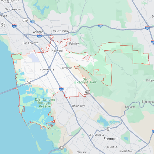
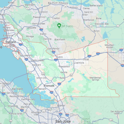
Hayward, CA
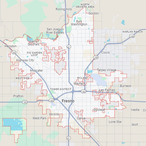
Fresno, CA
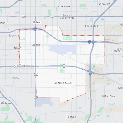
Ontario, CA
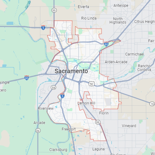
Sacramento, CA
Phoenix, AZ
Revolutionize your construction planning with Bess Utility Solutions’ subsurface 3D mapping services. Ensure accuracy and safety for underground utilities! Our advanced utility mapping service is efficient for large-scale utility locating projects for detailed mapping of the underground landscape before beginning any excavation on the site.
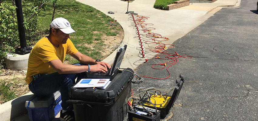
At Bess Utility Solutions, we bring the unseen to light with our state-of-the-art subsurface 3D mapping and utility locating services. Our innovative approach revolutionizes how property owners and the construction industry visualize and manage underground utilities and assets.
By integrating advanced technologies with experienced utility surveyors, BESS offers an unparalleled glimpse into the subsurface world, transforming the way underground utility locating services are delivered!
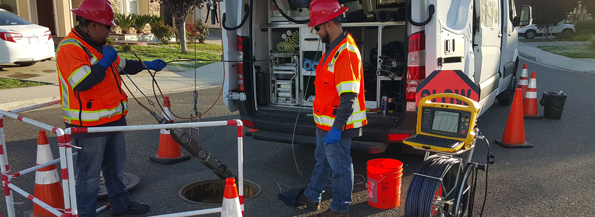
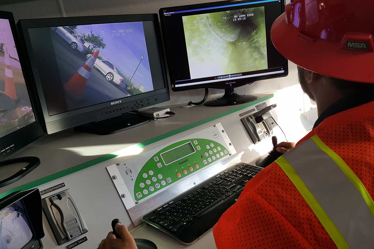
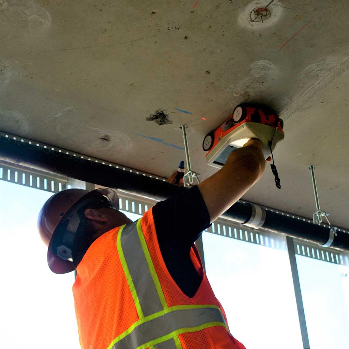
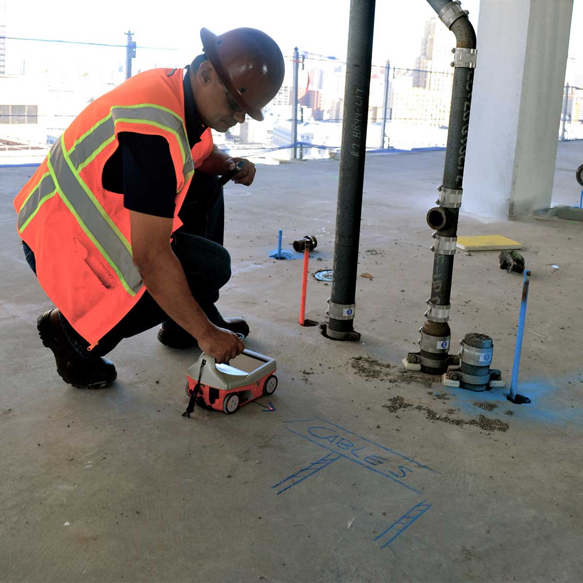
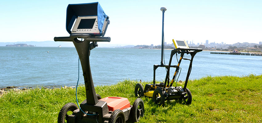
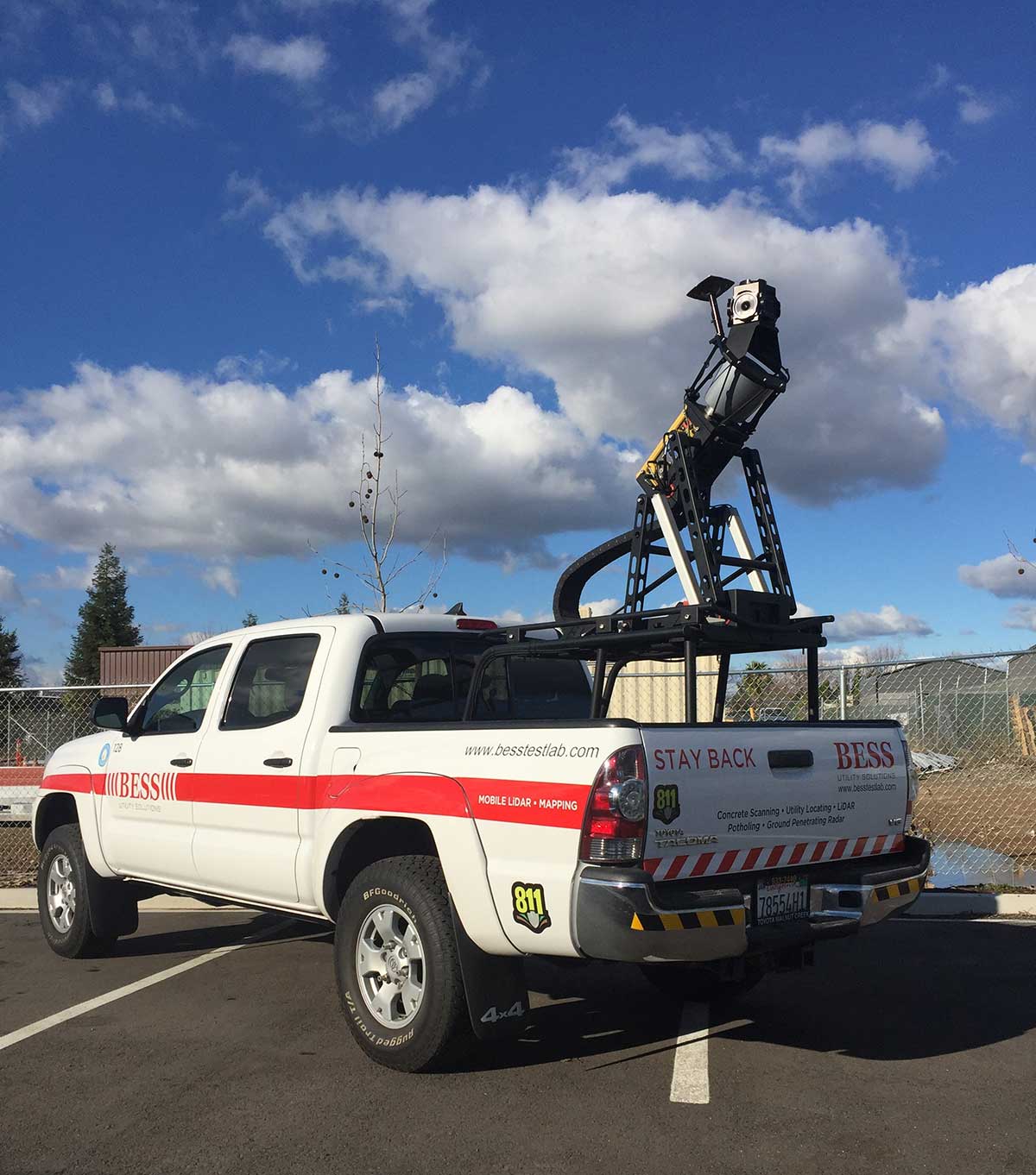
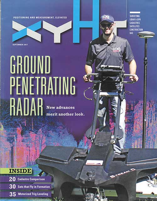
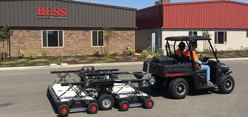
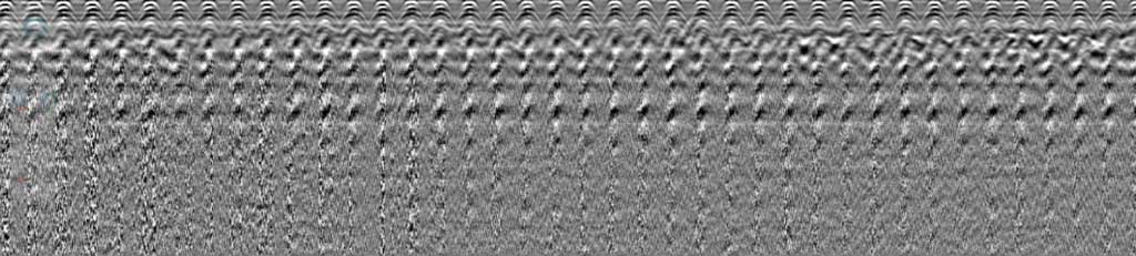
BESS employs the IDS Stream EM for subsurface 3D mapping, a multi-channel ground penetrating radar solution dedicated to utility locating and mapping.
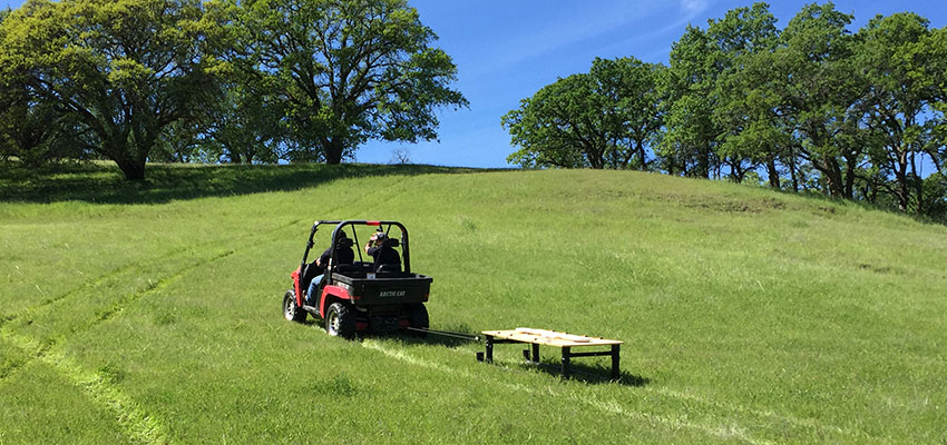
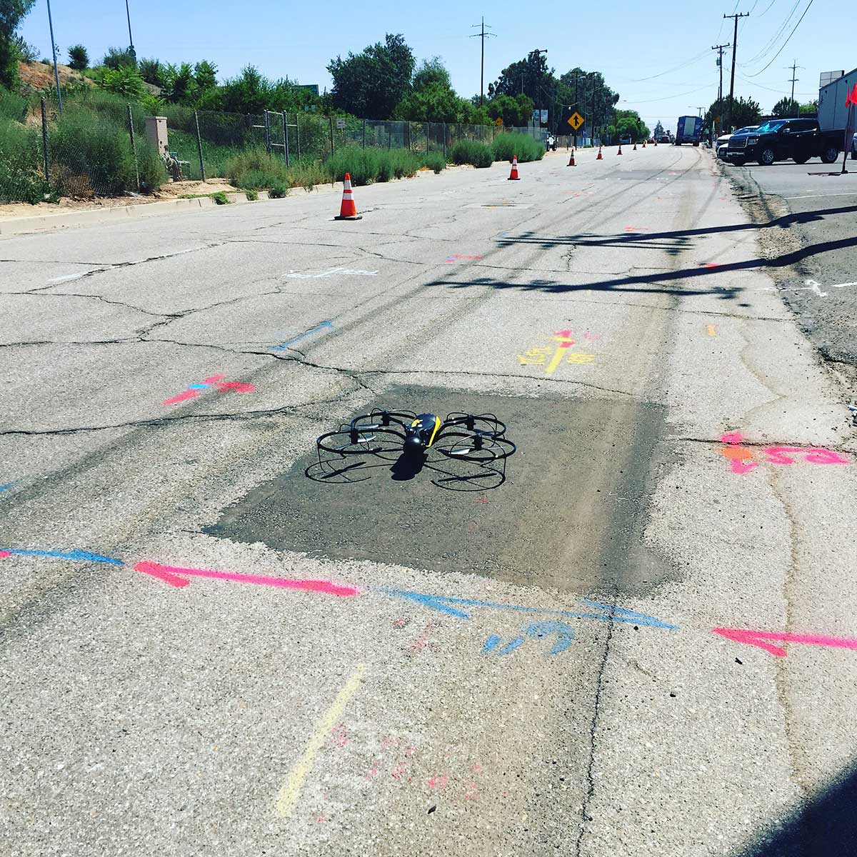
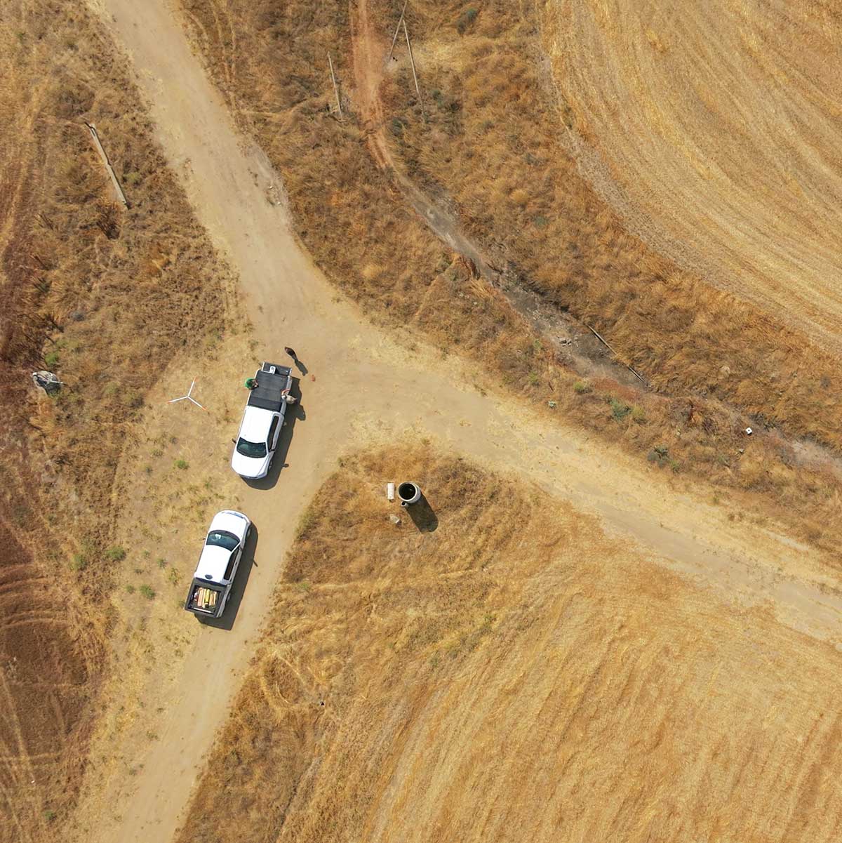
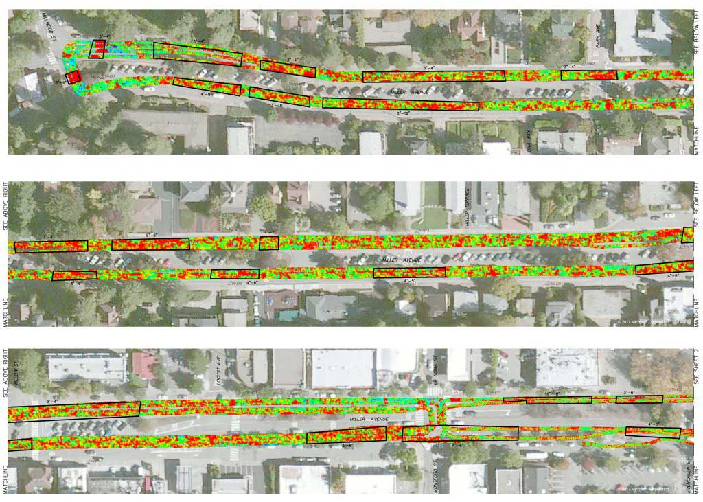
The Stream EM was designed to cover a large amount of area very quickly and efficiently by utilizing a massive array of 40 separate channels, including double polarized antennas to collect longitudinal and transverse pipes simultaneously at a collection speed of 9 miles per hour. This allows the continuous collection of data without interrupting the flow of traffic. The Stream EM can also be interfaced with GPS or a total station to accurately geo-locate the surveyed area. Data collected is interpreted and extracted into AutoCAD or ArcGIS to create a professional subsurface engineering survey deliverable.
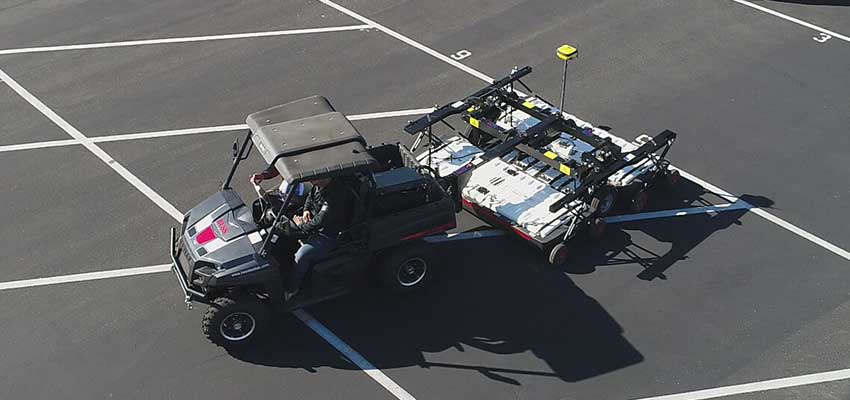
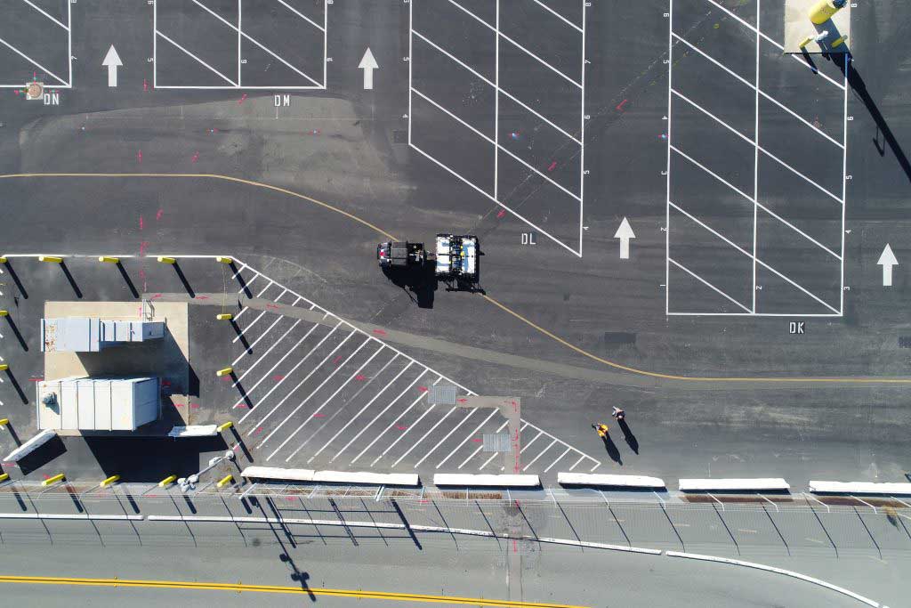
At Bess Utility Solutions, we elevate the standard for subsurface 3D mapping with our innovative approach, merging cutting-edge technology with unmatched expertise. Understanding the complexities and vital importance of accurately locating and mapping underground utility lines, we employ the IDS Stream EM, a state-of-the-art multi-channel Ground Penetrating Radar (GPR) solution specifically designed for this purpose.
Subsurface 3D Mapping is more than just a service; it’s an essential tool in today’s construction project planning and damage prevention strategies. Utilizing cutting-edge techniques like Ground Penetrating Radar (GPRS) and electromagnetic induction, we create detailed 3D models of the underground environment.
These models reveal the precise location of public utilities, private utility lines, gas lines, fiber optic cables, and even septic systems, offering clarity that traditional utility locating services cannot match.
Our team of experts employs innovative IDS Stream EM for subsurface 3D mapping. This multi-channel ground penetrating radar solution is at the forefront of utility locating and mapping, designed specifically to redefine efficiency and precision in subsurface exploration.
The hallmark of our unique method lies in Stream EM’s impressive capability to swiftly cover vast areas. With its extensive array of 40 separate channels, including double-polarized antennas, our system ensures comprehensive coverage. This advanced setup allows for the simultaneous collection of data on longitudinal and transverse pipes, revolutionizing the way underground utilities are detected and mapped.
One of the most significant advantages of using Stream EM in our subsurface 3D mapping services is its ability to operate at speeds up to 9 miles per hour. This high collection speed, coupled with the system’s sophisticated design, means large areas can be surveyed quickly and efficiently. Moreover, this efficiency is achieved without disrupting the flow of traffic, ensuring public life remains uninterrupted while we uncover the world beneath.
Integration with cutting-edge positioning technologies like GPS or total station is another cornerstone of our approach. This integration ensures that every piece of data collected is accurately geo-located, guaranteeing precision in the mapping of surveyed areas. The accuracy and reliability of our geo-locating process mean that we can offer unparalleled clarity and detail in the mapping of underground utilities.
Subsurface 3D mapping and surveying plays a pivotal role in modern construction, utility management, and environmental studies by providing a detailed, three-dimensional view of the underground environment. This technology is crucial for various applications and sectors, offering numerous benefits:
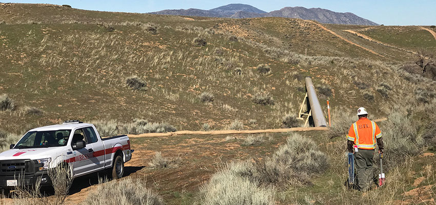
Subsurface 3D mapping allows engineers and construction project managers to visualize underground utilities such as water pipes, gas lines, electrical conduits, and sewer systems before commencing construction.
By knowing exactly where these utilities are located, construction teams can plan their projects more effectively, avoiding the costly and dangerous mistakes that come with accidentally cutting through these services.
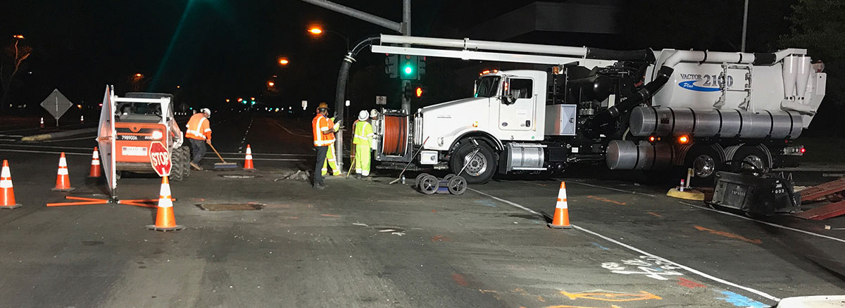
One of the primary roles of subsurface 3D mapping is to prevent damage to existing underground utilities during excavation and construction activities. Providing a detailed map of what lies beneath the surface helps utility companies and construction teams avoid costly repairs and service disruptions caused by utility strikes.
Urban planners and developers utilize subsurface 3D mapping to better understand the layout of existing underground infrastructure. This information is crucial in the planning and development of new urban areas, allowing for more efficient use of space and resources while ensuring that new developments do not interfere with existing underground utilities.
For utility companies, subsurface 3D mapping is an invaluable tool for maintenance and repair operations. By having a detailed three-dimensional map of underground utilities, maintenance crews can pinpoint the exact location of a problem without unnecessary digging, reducing repair time and minimizing the impact on the surrounding area.
Subsurface 3D mapping is also used in environmental protection, helping to locate and assess the condition of underground features such as water tables and contamination plumes. Additionally, archaeological surveys allow researchers to identify and examine historical artifacts and structures without disturbing the ground.
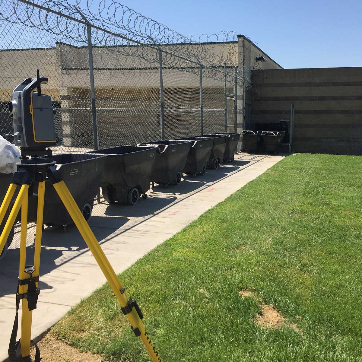
Whether it’s a residential property or a large commercial site, our private utility locating service is tailored to meet the unique needs of every property owner. We specialize in identifying and mapping private utility lines and underground assets, giving property owners peace of mind and control over their private property.
Take your project to the next level with the precision and safety assured by Bess Utility Solutions’s subsurface 3D mapping services. Don’t let underground uncertainties delay your construction plans. With our advanced mapping technology, you can proceed with confidence, ensuring every cut and core is perfectly placed and every move is made with complete underground awareness.
Ready to ensure the success and safety of your next construction project? Reach out to Bess Utility Solutions for industry-leading concrete cutting and coring services guided by our precise subsurface 3D mapping. Let us help you navigate the complexities beneath the surface and transform your construction experience. Contact us today and step into a world of unparalleled construction precision!