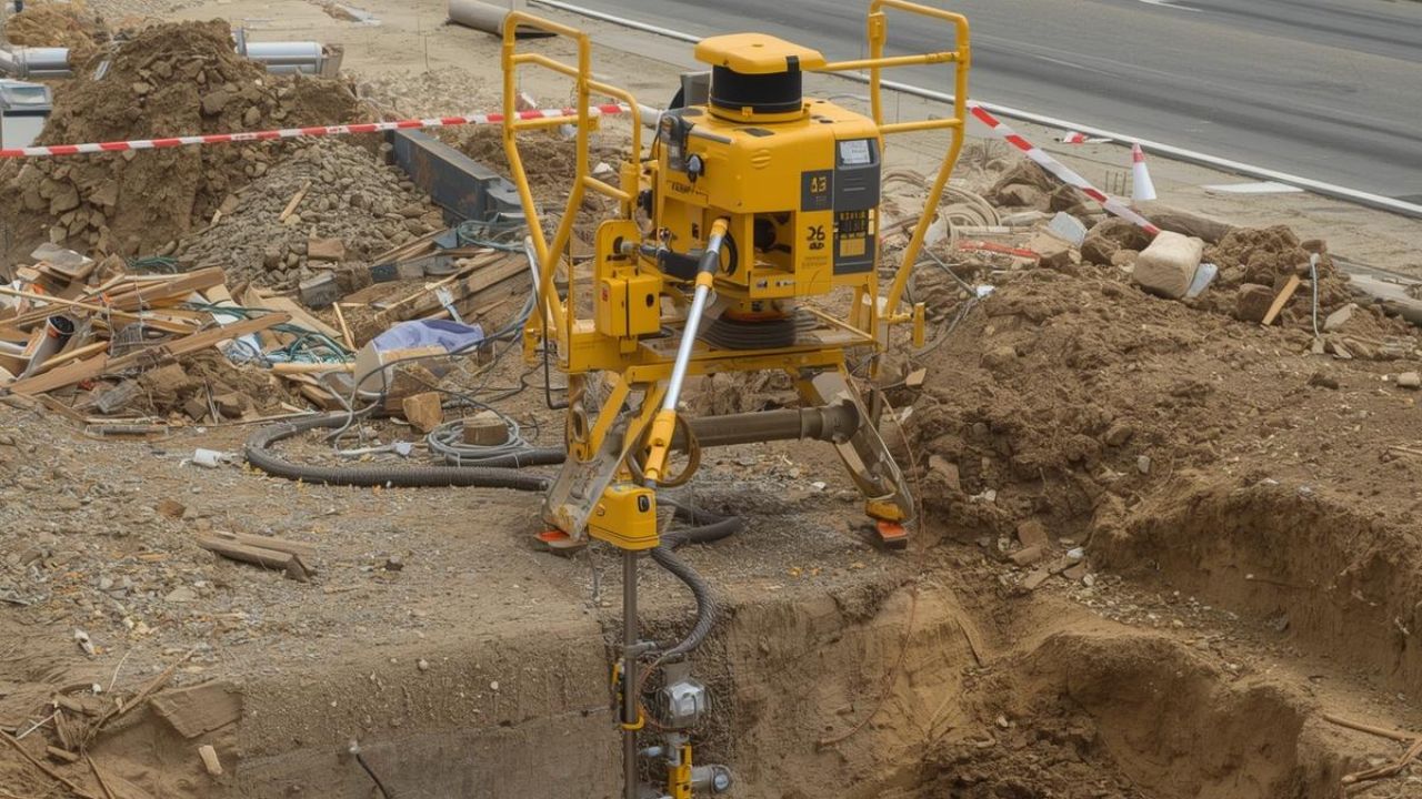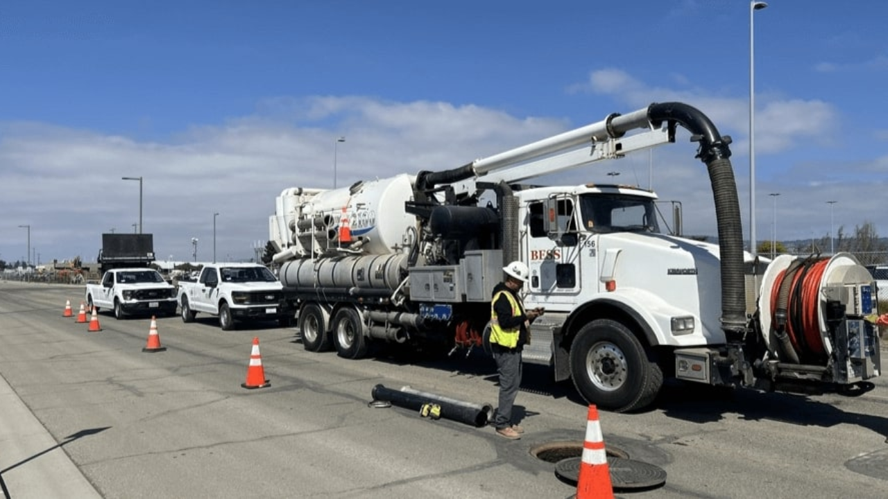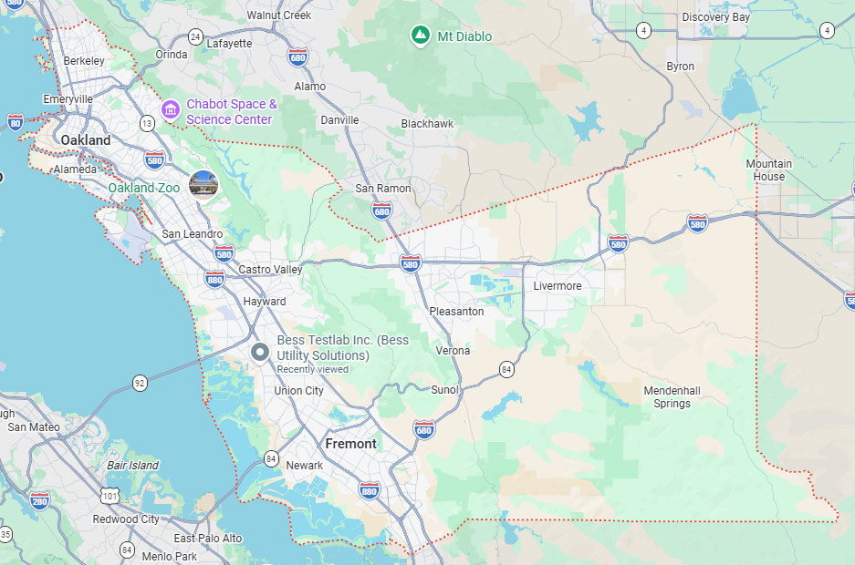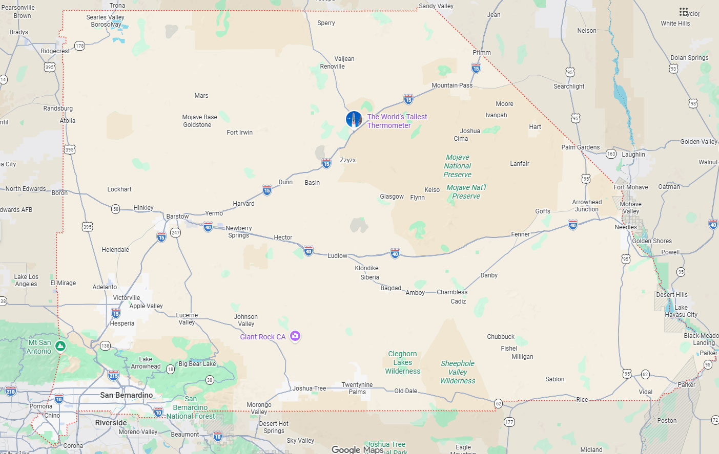
Hayward, CA
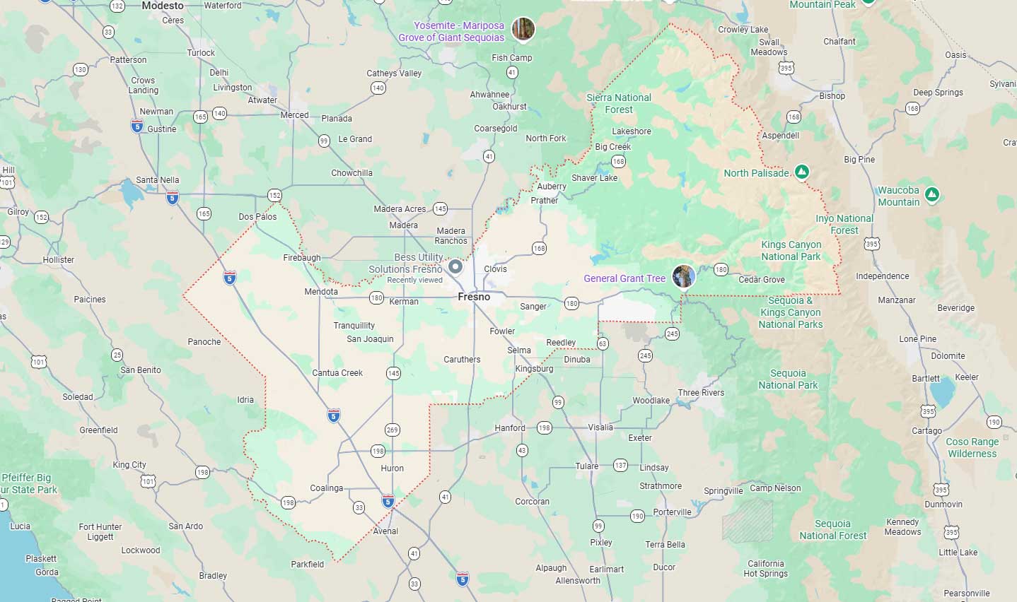
Fresno, CA
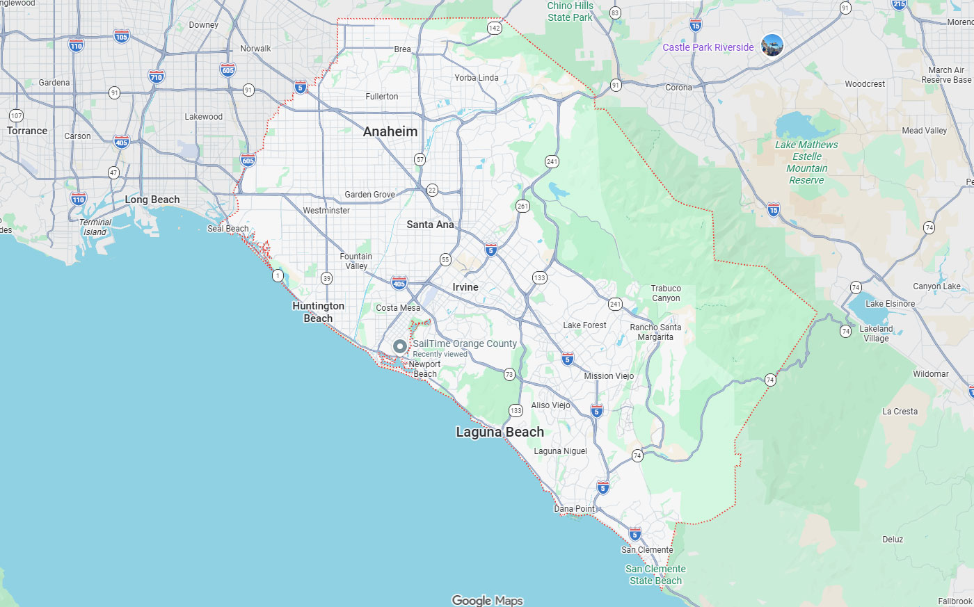
Orange, CA
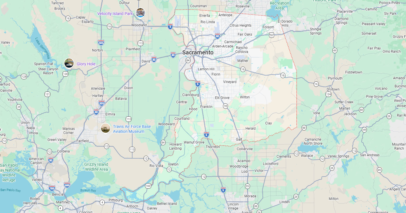
Sacramento, CA
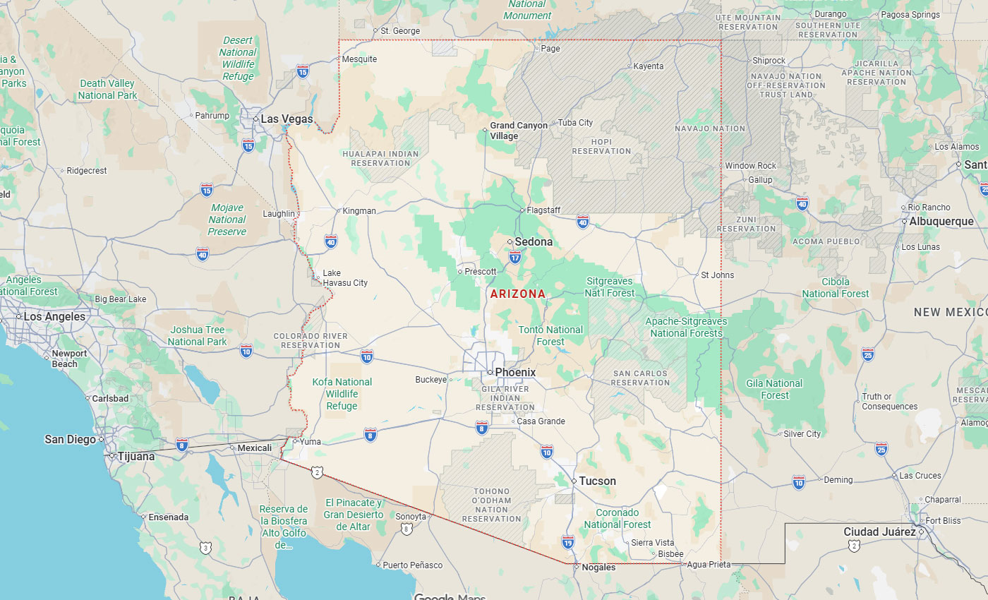
Phoenix, AZ

Knowing how to choose a utility locating company matters in San Francisco, where dense built environments turn subsurface utility conflicts into schedule risk and safety hazards. The decision comes down to timing, technology, deliverables, and how well a provider covers the gaps public 811 coordination leaves open. Underground utility locating and detection fills those gaps with field data engineers can act on.
Below, you'll find when to bring a locator onto the project, how electromagnetic detection, ground-penetrating radar, vacuum excavation, and subsurface mapping differ, which deliverables to require, how San Francisco site constraints affect scheduling, and the questions to ask before you approve a scope.
Key Takeaways
Private utility locators identify and document subsurface utilities with non-destructive methods before excavation, design decisions, or concrete cutting. They serve contractors, engineers, facility managers, municipalities, and property owners who need more than 811 provides.
Understanding the boundary between 811 and private locating helps project teams avoid assuming public coordination replaces owner-side utility mapping. Private locators use electromagnetic detection, ground-penetrating radar, vacuum excavation, surveying, and 3D mapping to deliver field marks, reports, and CAD-compatible files.
Public 811 coordination is required before excavation, but it does not replace private locating for customer-owned or undocumented lines, design-stage mapping, GPR concrete scanning, potholing verification, or subsurface deliverables. The table below shows where each one applies.
California and Nevada both require a ticket a few days before digging, and excavators should wait for every listed operator to respond before breaking ground.
| Coverage item | Public 811 notification | Private utility locating |
| Member utility mains and services | Marked by the utility operator | Confirmed or re-marked on request |
| Customer-owned and owner-side lines | Not covered | Located and documented |
| Abandoned or undocumented lines | Not covered | Detected with electromagnetic methods and GPR |
| Design-stage utility mapping | Not provided | CAD, GIS, and survey deliverables |
| Concrete scanning before cutting or coring | Not provided | GPR concrete scanning for rebar, post-tension cable, and conduit |
| Verified depth, type, and condition | Not provided | Vacuum excavation to ASCE 38-02 Quality Level A |
Excavation near unknown buried utilities needs electromagnetic locating plus GPR to catch conductive and non-conductive targets. Electromagnetic methods trace metallic lines and energized cables, while GPR picks up plastic pipe, fiber optic conduit, and undocumented infrastructure.
Saw cutting, coring, or drilling concrete calls for GPR concrete scanning to find rebar, post-tension cable, conduit, and voids before the blade goes in.
Utility conflicts found during design can still change routing, trenching, foundations, or equipment placement. Early subsurface information supports engineering decisions before as-built assumptions harden into construction directives.
Delays, rework, utility strikes, safety incidents, and emergency repairs all carry cost and schedule consequences. Dense corridors raise the odds that undocumented or privately owned lines sit alongside marked public utilities.
Timing decides whether locating data supports design or only supplies last-minute field marks. Early involvement lets engineers route around conflicts.
Hayward underground utility locating services show how local Bay Area providers work around project phasing and site access. Scheduling should line up with design milestones, permit timelines, 811 coordination, concrete work, and excavation stages.
Planning and design stage involvement means bringing in private locating before drawings are finalized, while conflicts can still change routing, trenching, foundations, or equipment placement. That supports pre-construction mapping criteria and cuts redesign costs.
Use 811 for public and member utilities and private locating for owner-side systems before mobilization. Before saw cutting, coring, or slab work, GPR concrete scanning helps avoid rebar, post-tension cable, and conduit.
Late scheduling usually limits the team to paint marks just before excavation. Earlier involvement supports routing, conflict avoidance, potholing decisions, and documentation that holds up later.
When a utility conflict could alter design, locating plus mapping and survey deliverables gives engineers usable data before decisions lock. FHWA and Purdue studied 71 projects worth more than $1 billion and found $4.62 saved for every $1.00 spent on subsurface utility engineering.
Vacuum excavation delivers ASCE 38-02 Quality Level A confirmation after electronic designation, when exact location and condition must be verified at high-consequence points.
When exact depth and type must be confirmed, vacuum excavation and potholing supply visual confirmation at higher-risk points where surface locating alone leaves too much uncertainty.
Evaluating providers means testing how to choose a utility locating company against your project scope, site conditions, and deliverables. Technology mix, local coverage, response time, documentation quality, and candid talk about limits separate capable providers from basic field markers.
Choosing the right utility locating service involves matching provider strengths to project complexity and risk profile. Providers should ask about site access, utility types, timeline, deliverable format, and whether potholing or mapping services will be needed.
Providers should carry electromagnetic locating, GPR, concrete scanning, potholing, and mapping in-house rather than subcontracting the parts your project depends on.
Subsurface 3D mapping suits large or complex sites where continuous, geolocated data and CAD or GIS deliverables matter. Systems collect at walking or vehicle speed and tie into GPS or total stations for survey-grade positioning.
Bay Area providers with regional offices respond faster to site access windows, permit schedules, and phasing constraints, which cuts mobilization delay across multi-phase work.
Providers working in Northern California from established offices know traffic control requirements, municipal coordination, and typical Bay Area subsurface conditions.
Field marks alone are rarely enough when engineers need CAD files, GIS layers, depth measurements, photos, or potholing records.
Confirm the formats below in the scope before work starts, so field crews, engineers, and facility managers all work from the same records.
| Deliverable | Format | When to require it |
| Field marks | Paint and flags on the ground | Before any excavation on site |
| Marked site plan | PDF overlaid on your drawing | Trenching, routing, and equipment placement |
| CAD file | DWG or DXF for AutoCAD | Design-stage conflict resolution |
| GIS layer | Shapefile or geodatabase | Facility, campus, and as-built record updates |
| Depth measurements | Written report with stations and offsets | Crossings and clearance checks |
| Pothole records | Photos with depth, pipe type, and size | ASCE 38-02 Quality Level A sign-off |
Technology selection depends on utility material, depth, soil conditions, site access, and whether you need surface marking or detailed mapping. No single method finds everything, so capable providers combine methods.
Understanding why private locating services are in high demand reflects increasing project complexity and documentation requirements that single-method approaches cannot satisfy. Matching technology to project conditions ensures reliable results and appropriate confidence levels.
| Method | What it detects | Where it fits | Limitations |
| Electromagnetic locating | Metallic pipe, copper cable, steel conduit, energized lines | Traceable conductive utilities with accessible connection points | Misses plastic and fiber; depends on signal access and soil conductivity |
| Ground penetrating radar | Plastic pipe, PVC conduit, fiber, voids, concrete structures | Non-conductive targets and congested urban corridors | Performance varies with clay content, moisture, and metallic interference |
| GPR concrete scanning | Rebar, post-tension cable, embedded conduit, voids | Saw cutting, coring, and drilling slabs or walls | Requires experienced interpretation; limited by slab thickness and rebar density |
| Vacuum excavation and potholing | Exact depth, type, size, and condition | High-consequence crossings needing ASCE 38-02 Quality Level A | Point-by-point rather than continuous; needs site access and spoil handling |
| Subsurface 3D mapping | Continuous geolocated utility data | Large or complex sites needing CAD or GIS deliverables | Higher mobilization; still needs potholing for verified depth |
| CCTV pipeline inspection | Internal pipe condition, laterals, blockages | Sewer, storm, and process lines with access points | Requires entry points and flow conditions that allow camera passage |
Electromagnetic locating applies a signal to conductive utilities or reads the field around energized lines, and technicians trace metallic pipe, copper cable, and steel conduit to map alignment and estimate depth.
Without an accessible connection point, or where lines are plastic or fiber, electromagnetic tracing needs GPR or potholing support.
GPR sends radar pulses into the ground and reads the reflections, which lets it find plastic water lines, PVC conduit, fiber, concrete structures, and voids that electromagnetic methods cannot trace.
GPR performance can vary with soil and material conditions, including clay content, moisture levels, and metallic interference. GPR remains critical for utility mapping in dense urban areas where non-metallic infrastructure and congested corridors require comprehensive detection methods.
Large or complex sites benefit from subsurface 3D mapping that delivers continuous, geolocated data for planning and design. Multi-channel GPR with double-polarized antennas collects longitudinal and transverse data at vehicle speeds up to 9 miles per hour.
Vacuum excavation fits when depth, type, and condition must be seen before high-risk excavation, or when as-built records conflict with field findings. Potholing gives the highest certainty level under ASCE 38-02 Quality Level A.
San Francisco projects face street-space limits, traffic control coordination, permit requirements, and schedule pressure that shape when and how locating happens.
Subterranean survey standards recognize that dense infrastructure, congested work zones, and public safety demand careful planning and coordination.
Dense built environments contain layered public and private infrastructure where corridors are congested and as-built records are often incomplete or outdated.
Limited surface access, underground parking structures, and occupied buildings restrict where equipment sits and how data gets collected.
Municipal permits may require advance notification, traffic control plans, and coordination with public works departments before locating can begin. Site access limitations determine whether vehicle-mounted GPR systems can be used or whether hand-carried equipment is necessary.
Traffic control cost and timing windows shape scheduling and may push locating into off-peak hours or weekends. Providers who handle permits and traffic control in house reduce coordination load.
California and Nevada both require an 811 ticket before digging, and excavators should wait for every listed operator to respond before breaking ground.
Many cables and pipes sit at shallow depths, so even shallow digging needs 811 notification and often private verification for unmarked owner-side utilities.
Asking the right questions ensures private locator qualifications SF project teams need to align with provider capabilities and project requirements. Clarifying scope, technology, deliverables, limitations, and timing before work begins prevents misunderstandings and ensures appropriate service levels.
Providers should welcome detailed questions about approach, equipment, comparable projects, and difficult sites. Straight talk about what can and cannot be detected sets realistic expectations.
Ask which utilities and site conditions fall inside the proposed scope, so nobody assumes 811 covers private lines. Confirm whether the provider runs electromagnetic locating, GPR, concrete scanning, potholing, mapping, and 3D data collection.
Clarify whether deliverables stop at field marks or include reports, maps, CAD files, GIS layers, photos, and depth measurements.
Ask which technologies will be used and why they fit your utility types, soil, and access constraints. Request sample deliverables that show format and detail level.
Honest caveats cover soil and material limits, access constraints, and when verification is needed. Providers who recommend potholing where uncertainty remains reduce false confidence.
Ask how much lead time is needed and when results land relative to design milestones, permit deadlines, or excavation dates. Confirm coordination with 811 mark-outs and traffic control windows.
Scheduling should leave room for potholing if the initial locate reveals conflicts, and should put subsurface data in hand before design decisions depend on it.
Knowing where public 811 responsibility ends and private locating begins prevents the information gaps that lead to utility strikes.
Vacuum excavation and potholing provide the final verification layer when 811 marks and private locating identify potential conflicts requiring visual confirmation. Layered risk management using both public and private resources reduces damage incidents and project delays.
California law requires 811 notification so member utility operators mark their facilities, protecting workers and the public from strikes on gas, electric, water, sewer, and communication lines.
It does not cover privately owned utilities, abandoned lines, undocumented infrastructure, or facilities not registered with member operators. Private locating fills those gaps.
Private locating identifies customer-owned utilities including building service lines, irrigation, private communication networks, and industrial facility infrastructure. None of it appears in 811 responses.
Facility managers, property owners, and industrial sites often lack complete as-built records for utilities added over decades. Private locators use electromagnetic detection, GPR, and potholing to document them before work begins.
Public 811 marks may miss private systems, abandoned lines, and undocumented infrastructure. Treating 811 as complete creates false confidence and leaves projects open to surprise encounters during excavation.
Design decisions based only on 811 responses can miss owner-side routing conflicts and depth limits. Pairing private locating with 811 coordination gives teams fuller awareness and more predictable execution.
Effective utility locating decisions combine early involvement, the right technology, clear deliverables, and providers who know Bay Area constraints. Locators brought in during design let subsurface data inform routing and conflict resolution.
Private locating complements required 811 coordination by covering owner-side utilities, design-stage mapping, concrete scanning, and vacuum excavation verification. Selecting on capability, coverage, documentation quality, and candid talk about limits lowers project risk.
Bess Utility Solutions serves Northern California projects from its Hayward office, offering electromagnetic locating, GPR concrete scanning, vacuum excavation, surveying, and subsurface 3D mapping with 29 years of experience. That mix covers the technology and documentation engineering and construction teams need on complex Bay Area sites.
Bess Utility Solutions has located underground utilities across Northern California for 29 years and runs San Francisco and Bay Area work out of the Hayward office at 2463 Tripaldi Way. Crews are licensed and insured; the company is CPUC certified and holds MBE and DBE certifications, and scopes follow ASCE 38-02 quality levels. You get utility locating, potholing, concrete scanning, and mapping services from one provider, with a straight answer about where each method reaches its limit.
Call (408) 988-0101 to talk through your site conditions, or request a quote and a specialist will scope the work against your design milestones, permit windows, and excavation schedule. The Hayward office is open Monday through Friday, 8:00 AM to 5:00 PM.
A. An 811 ticket reaches member utility operators, who mark the mains and service lines they own. A private locator covers everything past that point: customer-owned lines, irrigation, private communication networks, abandoned pipe, and anything inside a building footprint. Private crews also produce what 811 never supplies, including CAD files, GIS layers, depth measurements, and potholing records.
A. Yes. California law requires 811 notification before digging, and hiring a private locator does not replace that obligation. Submit the ticket, wait for each listed operator to respond, and treat the public marks as your baseline. Private locating then layers owner-side utilities, verification, and documentation over that baseline. Skipping either one leaves a gap before the first cut.
A. Pricing depends on site size, how many technologies the scope needs, access and traffic control requirements, and whether potholing or mapping deliverables are included. A single-method locate on an open site sits at the low end; a multi-method scope with vacuum excavation and CAD deliverables costs more. Request a scoped quote rather than a day rate.
A. Field time on a typical lot or street segment runs a few hours to a full day, depending on area, utility density, and surface access. Mapping and CAD deliverables add a few business days. Permits and traffic control plans often add more lead time than the locate itself, so ask about both and leave room for potholing.
A. GPR can detect plastic and other non-metallic pipe because it reads reflections from material boundaries rather than tracing a signal along a conductor. That makes it the method for PVC water lines, plastic gas service, and fiber conduit that electromagnetic locating cannot trace. Heavy clay, high moisture, deep burial, and metallic interference all cut into depth and clarity, so vacuum excavation confirms what GPR indicates at high-consequence crossings.