Hayward, CA
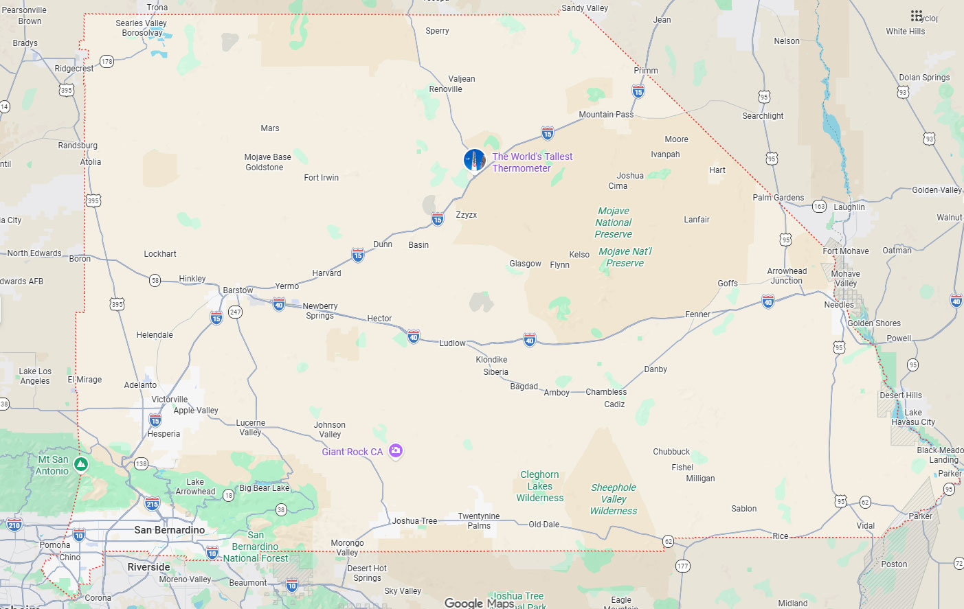
Fresno, CA
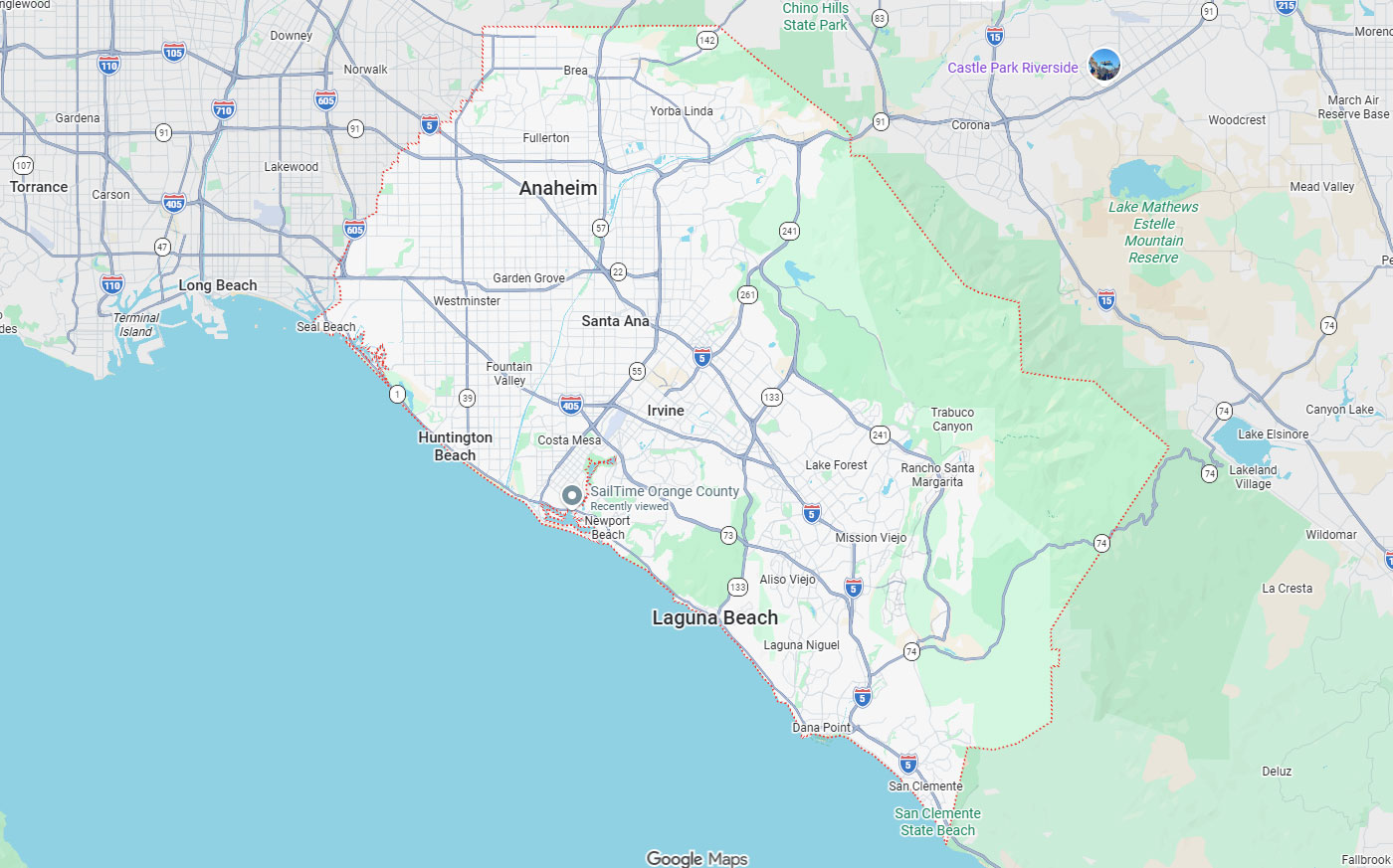
Orange, CA
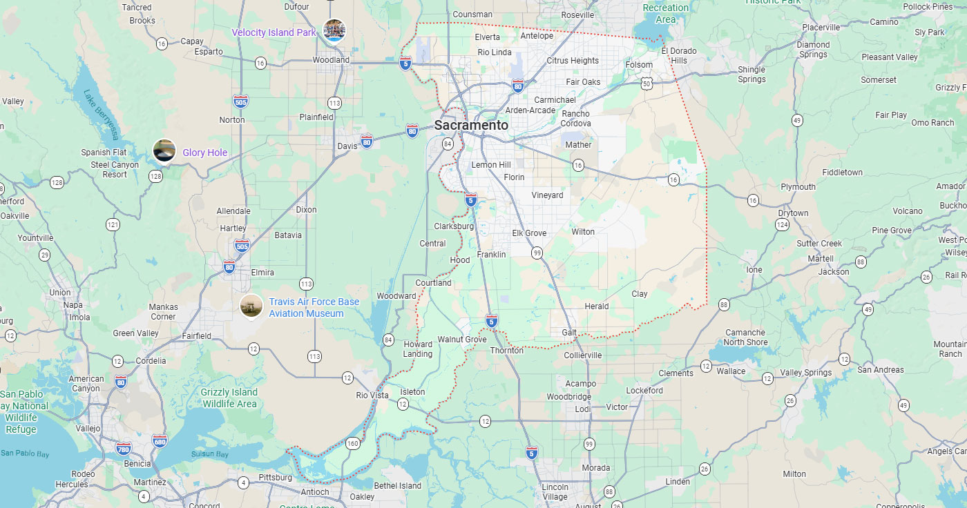
Sacramento, CA
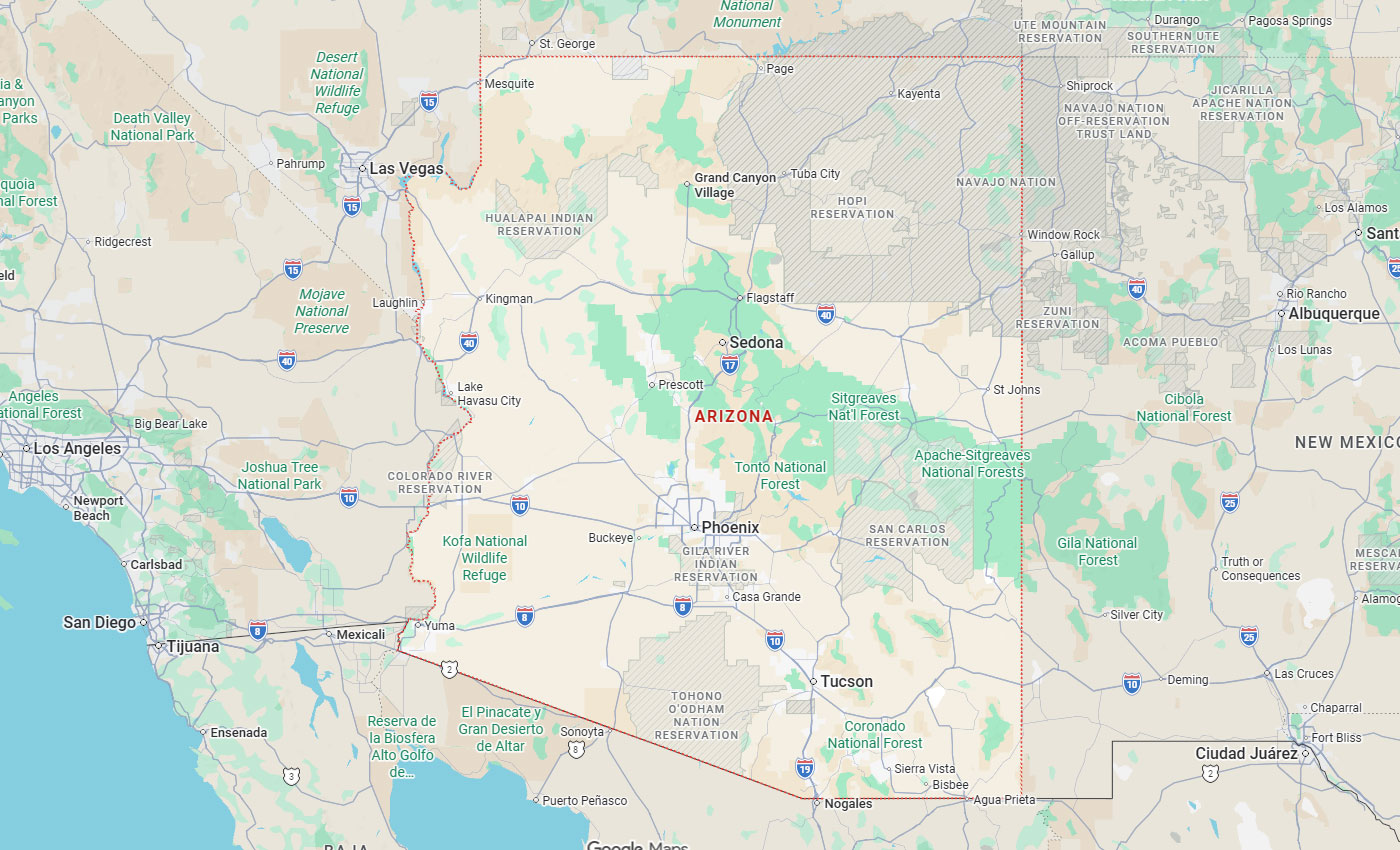
Phoenix, AZ

San Francisco construction teams need accurate underground utility information before excavation, coring, trenching, or right-of-way work begins. California law requires excavators to notify the regional notification center at least two working days before digging, but that public notification does not address customer-owned private lines, site-specific utilities, undocumented laterals, or facility infrastructure changes.
Below, you'll find how private utility locating services differ from 811 notification, when to schedule locating for different project stages, what field methods and technologies matter, how San Francisco permit coordination affects utility planning, and what criteria construction teams should use to select a qualified private locator. Dense urban sites and aging infrastructure create subsurface uncertainty even after public notification is complete.
Key Takeaways
Private utility locating services identify and mark underground utilities that are not covered by public notification center members. These services use ground-penetrating radar, electromagnetic locating, vacuum excavation, and utility mapping to document customer-owned lines, site-specific infrastructure, and ambiguous subsurface conditions before excavation or design work.
Public notification through the regional notification center marks member utility lines owned by public and investor-owned utilities. Understanding when 811 notification is sufficient and when private locating is necessary helps construction teams avoid utility strikes and project delays.
California requires excavators to notify the regional notification center before digging, and USA North 811 serves Northern California. The regional notification center dispatches member utilities to mark their lines within the legal response window.
811 notification is mandatory but does not cover customer-owned private lines such as service feeds to pools, detached garages, sheds, or site-owned utilities. USA North 811 clearly states these customer-owned private lines will not be marked because they are not owned by a utility.
Public notification marks utilities owned by member companies, including electric, gas, water, sewer, telecommunications, and cable providers.
Private utility locating addresses customer-owned private lines, site-owned utilities, undocumented laterals, service feeds, facility lines, and construction-era changes not fully covered by public utility member marks. Subterranean line detection contracts often specify verification of these non-member utilities before construction begins.
| Aspect | 811 Notification | Private Utility Locating |
|---|---|---|
| What it marks | Member-owned public and investor-owned utility lines | Customer-owned private lines, site-owned utilities, undocumented laterals, and service feeds |
| Legal status | Mandatory before excavation in California | Recommended for private lines and design-stage certainty |
| Timing | At least two working days and no more than 14 calendar days before digging | Scheduled during design, preconstruction, and again close to excavation |
| Methods | Utility owners dispatch locators to mark member lines | GPR, electromagnetic locating, vacuum excavation, concrete scanning, and utility mapping |
| Coverage gap | Does not mark lines to pools, detached garages, or sheds | Verifies non-member and site-specific utilities before digging |
Dense construction sites and older urban properties create subsurface uncertainty even after public notification is complete. San Francisco's aging infrastructure, multiple construction eras, and frequent utility modifications increase the risk of encountering unmarked or inaccurately documented lines.
Private locating supports commercial excavation mapping SF projects by identifying conflicts before permit submission, design revisions, or field work. Accurate subsurface data reduces change orders and prevents service disruptions in high-density areas.
Private utility locating should be scheduled during design and preconstruction phases when subsurface conflicts can still affect layout decisions. Additional locating is needed close to excavation when field conditions and current marks are required for safe digging.
Timing decisions must account for California's legal notification windows, permit submission deadlines, and the risk that field marks become invisible due to weather or site traffic. Legal compliance and liability management require planning and locating services around project milestones.
California requires at least two working days' notice before excavation begins and not more than 14 calendar days' notice. The date of notification does not count as part of California's two-working-day notice requirement.
Excavators must delineate the area to be excavated before notifying the regional notification center. If the area is not delineated, an operator may choose not to locate and field mark until the area is properly defined.
Private utility locating can support concrete cutting and coring operations, utility potholing, permit submission packages, redesign after conflicts are identified, and long-running projects where marks need refreshing. Early utility mapping helps engineers avoid conflicts during design development and value engineering.
Field verification close to excavation ensures marks are current and visible when operators begin work. Construction safety utility protocols require up-to-date subsurface information before trenching, boring, or heavy equipment operation.
Scheduling too late leaves no time to address conflicts or obtain required permits before field crews mobilize. California's two-working-day minimum means excavation cannot begin immediately after notification is submitted.
Non-emergency work cannot be forced into an emergency request under California law. Scheduling too early risks field marks becoming invisible due to weather, site traffic, and long construction phases before excavation actually begins.
Private utility locating combines ground-penetrating radar, electromagnetic locating, vacuum excavation, concrete scanning, and utility mapping to identify subsurface conditions. Each method has strengths and limitations depending on soil conditions, utility depth, congestion, and site access.
Technology selection should match project risk levels and deliverable requirements rather than relying on a single method. GPR technology improves excavation safety when used alongside complementary field methods.
Ground-penetrating radar uses radio waves to detect changes in subsurface materials and identify metallic and non-metallic utilities. Electromagnetic locating applies a signal to conductive utilities and traces the electromagnetic field to determine line position and depth.
GPR does not see everything and has limitations in saturated soils, highly conductive clay, and deeply buried utilities. Electromagnetic methods require access points or detectable utilities and cannot locate non-conductive private lines without tracer wire.
Vacuum excavation provides positive identification of utility location, depth, and condition when surface methods produce ambiguous results. Vacuum excavation offers non-destructive advantages over traditional hand digging or mechanical excavation near sensitive utilities.
Utility potholing is necessary before final design, when existing drawings conflict with field conditions, or when excavation will occur within tolerance zones of high-priority installations. Projects requiring ASCE 38-02 Quality Level A data typically include vacuum excavation as a verification step.
Concrete scanning identifies rebar, post-tension cables, and embedded conduits before core drilling, saw cutting, or anchor installation. Scanning before core drilling prevents equipment damage and structural compromise.
Utility mapping compiles field data into plan views, cross-sections, and three-dimensional models that support design coordination and permit documentation. Accurate mapping reduces subsurface uncertainty and provides reference data for future phases.
San Francisco Public Works requires permits to protect safety in the city's right-of-way during construction activities. Permit categories include General Excavation, Temporary Occupancy, Utility Excavation, Street Space, and Boring and Monitoring Well.
Early utility information streamlines permit submission by identifying conflicts, staging constraints, and lane or sidewalk impacts before application. Private locating data supports inspection readiness and reduces the risk of permit delays caused by undocumented conditions.
General Excavation and Utility Excavation permits require detailed work plans that account for existing subsurface infrastructure.
Boring and Monitoring Well permits benefit from subsurface data that confirms clearance from existing utilities and documents drilling path safety.
| Permit Category | How Early Utility Data Helps |
|---|---|
| General Excavation | Supports detailed work plans that account for existing subsurface infrastructure |
| Utility Excavation | Confirms conflicts before trenching and reduces plan-check questions |
| Street Space | Informs utility protection plans when work affects traffic or pedestrian access |
| Temporary Occupancy | Documents staging constraints and right-of-way impacts before application |
| Boring and Monitoring Well | Confirms clearance from existing utilities and documents drilling path safety |
Utility conflict identification during preconstruction allows time to design protection measures, adjust excavation limits, or relocate planned infrastructure. Accurate subsurface data reduces questions during plan check and demonstrates coordination with existing utilities.
Inspection readiness improves when field crews have current utility marks and verified pothole data before mobilization. Inspectors can confirm utility protection measures are in place and excavation proceeds according to approved plans.
Dense urban sites often have multiple utility owners, limited staging areas, and restricted access for equipment or traffic control. Aging infrastructure may lack accurate as-built drawings or include abandoned lines that remain in the ground.
Concurrent projects in adjacent right-of-way create coordination challenges when utility protection zones overlap, or construction sequencing affects multiple contractors.
A qualified private utility locator should demonstrate field experience, relevant industry certifications, appropriate insurance and licensing, and proven contractor collaboration capabilities. Technology alone does not ensure quality; operator training and deliverable accuracy matter equally.
Selection criteria should evaluate the locator's ability to provide subsurface utility engineering quality-level data, coordinate with project drawings, and support verification needs throughout construction phases. Choosing the right service provider requires comparing methods, deliverables, and project-specific experience.
Experience with similar construction types, site conditions, and municipal coordination reduces learning curves and communication gaps during critical project phases. Bess Utility Solutions has over 29 years of experience serving construction, engineering, and public works clients.
Industry certifications demonstrate training in subsurface utility engineering standards, geophysical methods, and safety protocols. CPUC certification as an MBE/DBE company may also support project compliance requirements for public works contracts.
Bess services include GPR, concrete scanning, underground utility location, vacuum excavation, and utility mapping delivered through integrated field teams. Technology evaluation should confirm the locator uses multiple methods and understands their site-condition limits.
Locating methods have site-condition limits that affect accuracy and reliability in different soil types, utility depths, and congestion levels. Request examples of deliverables including marked utility plans, pothole verification reports, and coordinate data compatible with project CAD or BIM workflows.
Licensed and insured professionals reduce liability risk and demonstrate compliance with California contractor requirements. Safety protocols should address excavation hazards, utility protection zones, and coordination with other trades.
Contractor collaboration experience ensures the locator understands construction sequencing, field constraints, and communication needs during active work. Hydro vacuum excavation services require coordination with excavation crews and utility owners to maintain safe clearances.
Request information about subsurface utility engineering quality levels the locator will provide for your project scope. Ask how they verify findings, update data during construction, and coordinate with existing project drawings.
Clarify what happens if field conditions do not match expectations or if construction phases extend beyond initial mark visibility. A private locator hiring guide should address verification methods, re-mark policies, and long-term data access.
Subsurface utility engineering quality-level classification is a system to help project owners, engineers, and constructors reduce or allocate risk from existing subsurface utilities. The four quality levels range from records-based Level D to survey-grade Level A, summarized in the table below.
Project risk and budget determine which quality level is appropriate for different utility types and conflict zones. High-risk areas near critical infrastructure may require Level B or A data.
| Quality Level | Primary Method | Data Provided |
|---|---|---|
| Level D | Existing records review | Baseline utility information from available records |
| Level C | Surface geophysical methods plus records | Correlated surface features and visible utility evidence |
| Level B | Designating with GPR and electromagnetic locating | Horizontal position of subsurface utilities from the surface |
| Level A | Vacuum excavation and survey | Precise surveyed horizontal and vertical coordinates |
If markings are no longer visible, stop work and request re-marks before resuming excavation. Markings can become no longer visible due to weather, site traffic, and long-running construction phases.
Establish re-mark policies during initial contracting to avoid disputes about additional service costs or schedule delays. Some locators provide mark refresh as part of project support agreements.
Request examples of how the locator integrates findings with civil plans, utility atlases, and as-built documents from previous phases. Coordinate data formats to match project requirements for AutoCAD, GIS, or other design software.
Field constraints, including access restrictions, active traffic lanes, and permit limitations, affect locating methods and scheduling. Confirm the locator has experience working within San Francisco right-of-way and permit requirements.
Accurate locating reduces utility damage incidents that cause service outages, emergency repairs, and work stoppages. Private utility locating services identify conflicts before excavation begins rather than after equipment strikes an undocumented line.
Risk mitigation includes supporting permit compliance, protecting existing infrastructure, and providing data that helps contractors plan safe excavation procedures. Private locating demand has increased as construction complexity and liability concerns grow.
A damaged utility line threatening life, health, or public safety requires evacuation 300 feet or more upwind from the damage. If a damaged utility line threatens life, health, or public safety, evacuate 300 feet or more upwind from the damage and contact 911 immediately.
Utility strikes cause change orders, schedule delays, and potential legal liability when negligence or inadequate locating is demonstrated. Accurate subsurface data allows contractors to plan protection measures and avoid high-risk excavation methods near utilities.
Public notification does not remove the need to evaluate private and site-owned utilities and ambiguous subsurface conditions. Private locating fills gaps left by incomplete records, abandoned infrastructure, and utilities installed after the most recent as-built documentation.
Subsurface uncertainty increases project risk and makes accurate cost estimation difficult during bidding. Early private locating reduces contingency costs and supports informed design decisions.
A high-priority subsurface installation is a utility requiring an onsite meeting when excavation is within 10 feet. Excavation within 10 feet of a high-priority subsurface installation requires an onsite meeting before excavation begins under California law.
Onsite meetings confirm all parties understand utility locations, protection measures, excavation tolerances, and emergency contact procedures. High-priority installations typically include high-pressure gas lines, transmission-level electric cables, and major water or sewer mains.
Effective utility locating requires planning services around both legal compliance windows and project decision points. Scheduling private locating during design phases supports conflict avoidance, while field verification close to excavation ensures marks remain visible and conditions are current.
Selection criteria should prioritize field experience, appropriate technologies, quality-level deliverables, and proven collaboration with construction teams.
Private utility locating services help construction teams identify subsurface conditions that public notification does not address. Bess Utility Solutions provides GPR, vacuum excavation, concrete scanning, and utility mapping services throughout California, combining field methods with over 29 years of project experience to support safer excavation and design decisions.
Bess Utility Solutions helps San Francisco construction teams confirm what lies below before excavation, coring, or right-of-way work begins. Our specialists deliver GPR, concrete scanning, underground utility location, vacuum excavation, and utility mapping backed by more than 29 years of field experience as a CPUC-certified MBE/DBE firm working across California, Arizona, and Nevada.
Call (408) 988-0101 to talk through your project scope, or request a quote to get accurate subsurface data on your schedule. Trust our specialists to help you plan safer excavation and keep your project on track.
A. No. USA North 811 marks utilities owned by member companies, but it does not mark customer-owned private lines such as feeds to pools, detached garages, or sheds. Private utility locating covers those lines along with undocumented laterals and site-owned infrastructure. San Francisco teams use both to reduce the risk of utility strikes.
A. Schedule private locating during design and preconstruction so subsurface conflicts can still shape layout decisions. Add field verification close to excavation so marks stay current and visible when crews start. California also requires at least two working days and no more than 14 calendar days of notice to the regional notification center before digging.
A. Private locators combine ground-penetrating radar, electromagnetic locating, vacuum excavation, concrete scanning, and utility mapping. Each method has limits based on soil, depth, and site congestion, so accurate work uses several methods together. Vacuum excavation gives positive identification of location and depth when surface methods are ambiguous.
A. Quality level depends on project risk and budget. Level D relies on records, Level C adds surface geophysical methods, Level B locates utilities from the surface, and Level A provides survey-grade coordinates from vacuum excavation. High-risk areas near critical infrastructure often call for Level B or A data.
A. Yes. Early utility data supports General Excavation, Utility Excavation, Street Space, Temporary Occupancy, and Boring and Monitoring Well permits. It identifies conflicts, staging constraints, and right-of-way impacts before application. Accurate subsurface data also reduces plan-check questions and speeds inspection readiness.