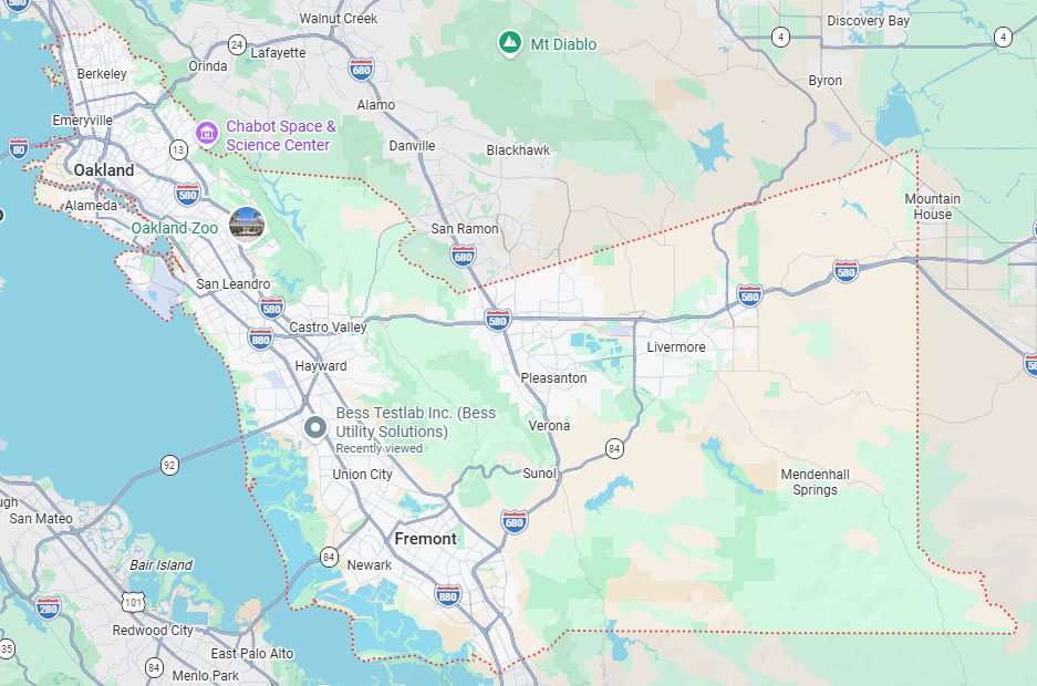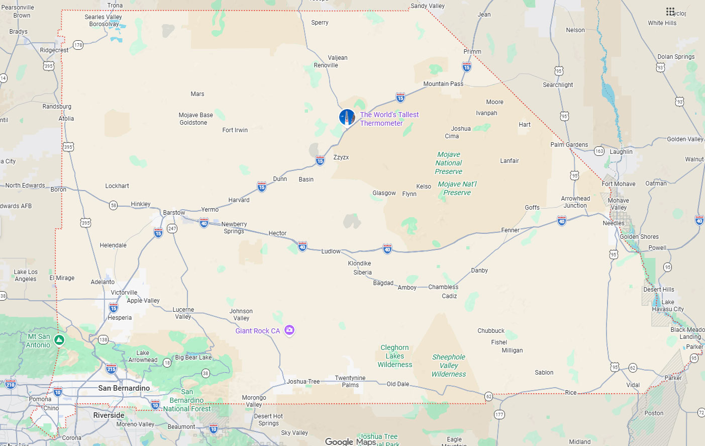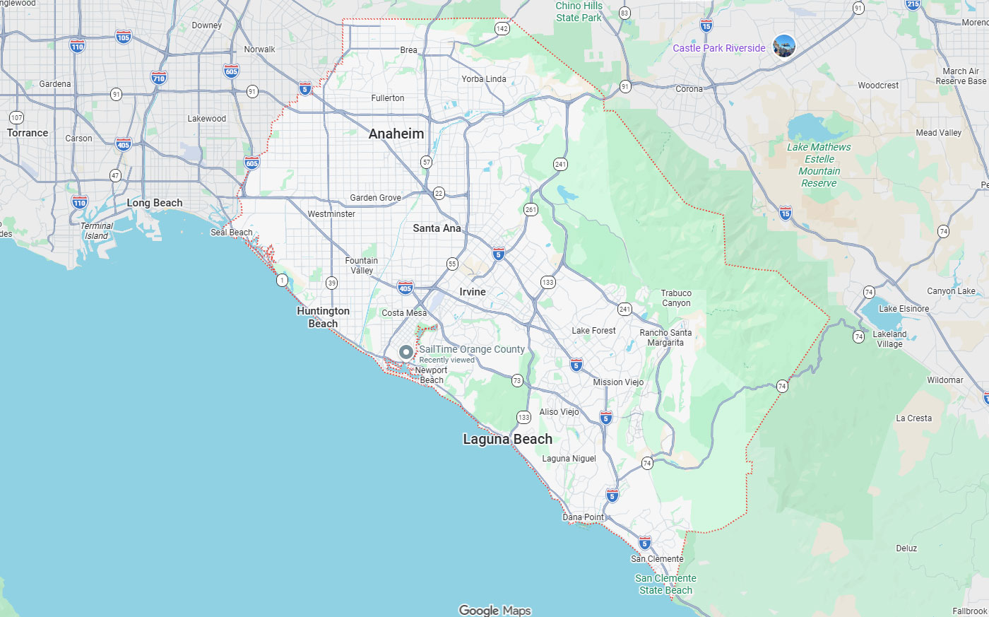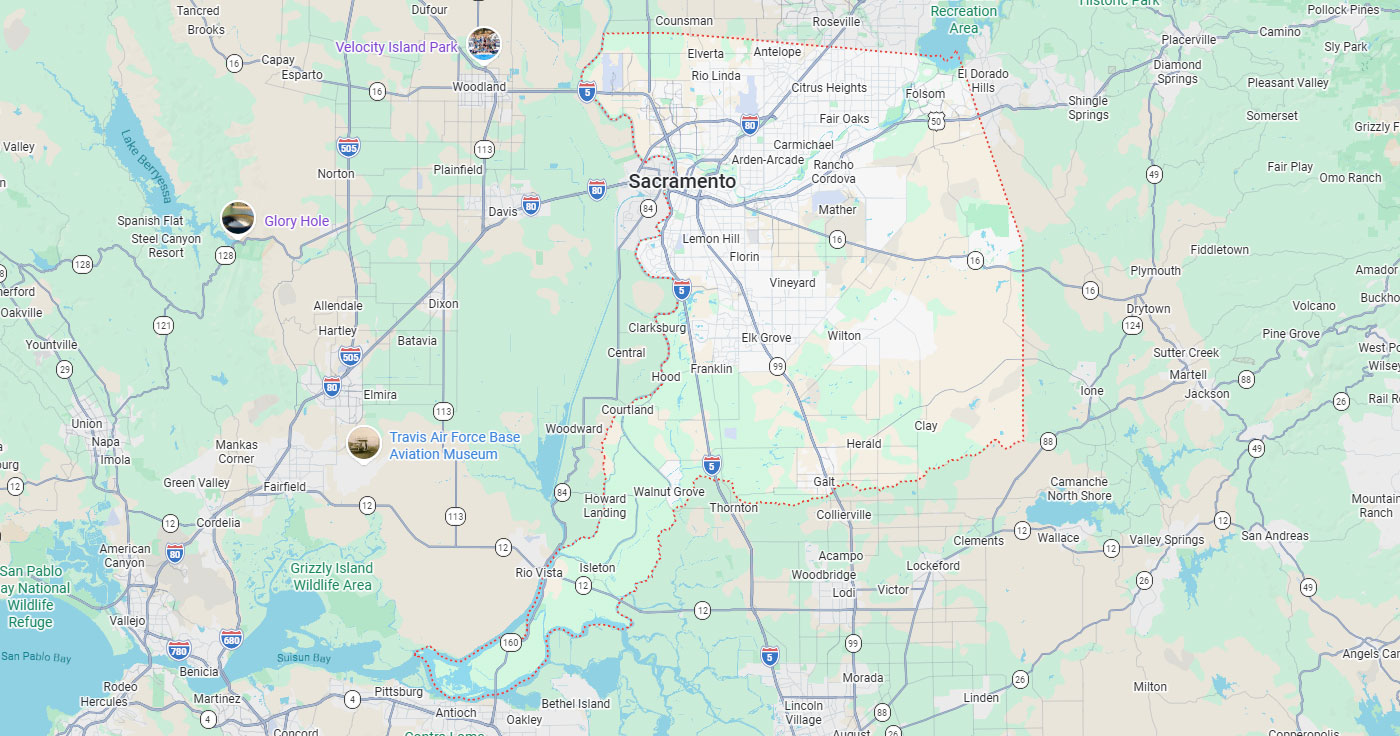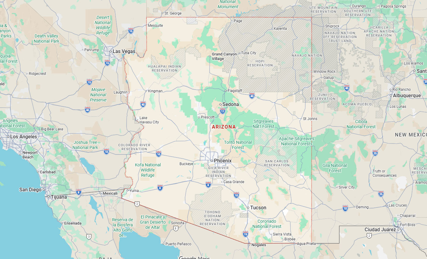
Hayward, CA
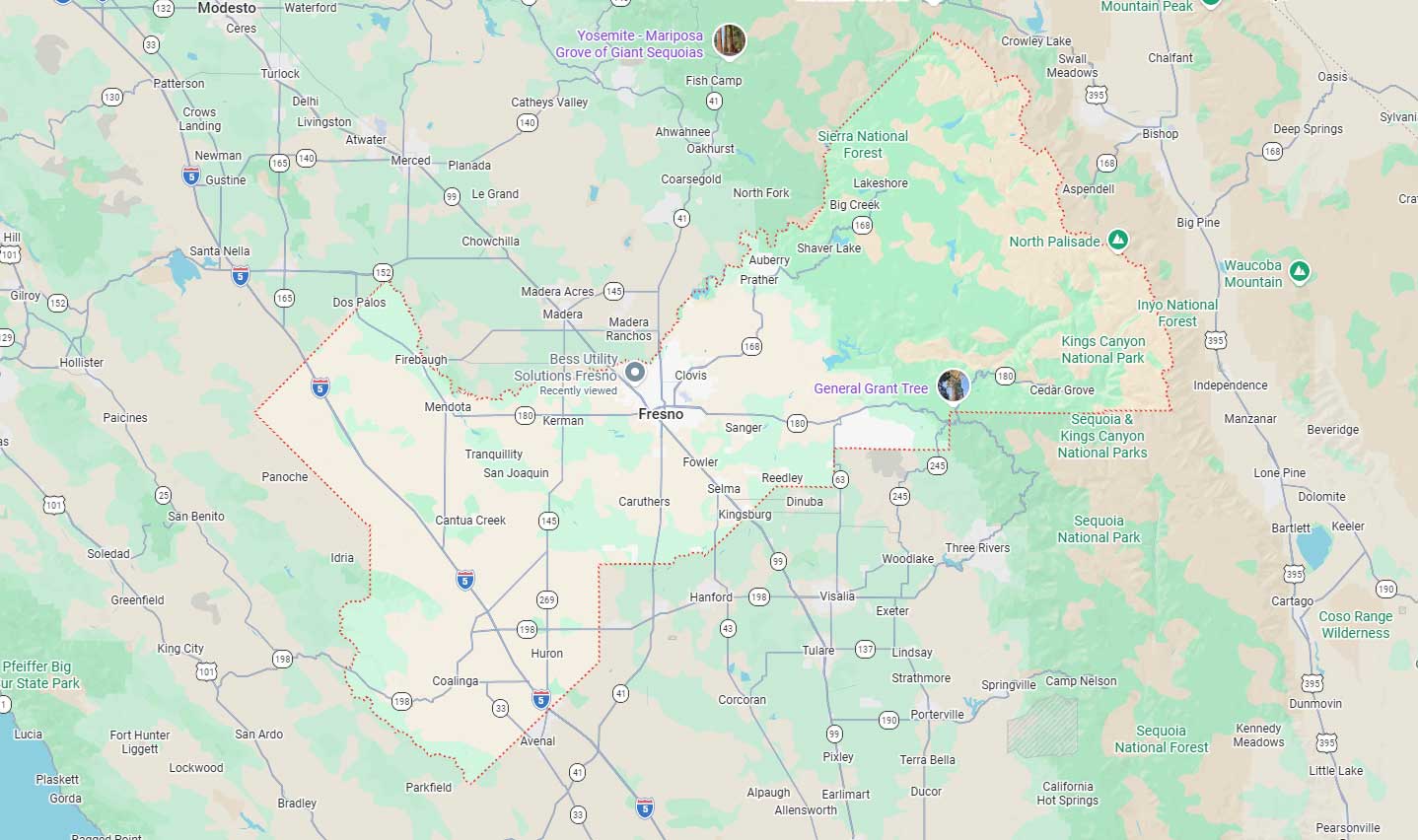
Fresno, CA
Orange, CA
Sacramento, CA
Phoenix, AZ
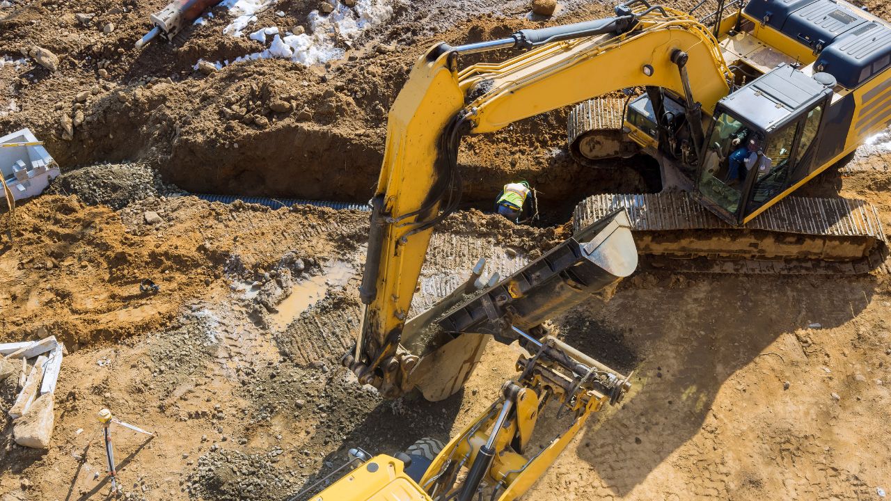
Utility locating cost in San Francisco typically ranges from $100 to $400 for electromagnetic services and $400 to $800 or more for Ground Penetrating Radar work. Final pricing depends on site size, utility density, access constraints, deliverables, and whether physical verification through potholing is required. San Francisco projects involve dense urban conditions, older utility records, traffic control requirements, and public right-of-way coordination.
Contractors managing commercial excavation costs must understand how method selection, documentation needs, and compliance affect subterranean survey estimates. Simple mark-out services cost less than projects requiring CAD drawings, geo-referenced mapping, or vacuum excavation verification. Calling 811 provides free public utility marking but does not eliminate the need for private locator pricing in SF when private, abandoned, or undocumented utilities exist onsite.
Key Takeaways
Utility locating identifies underground infrastructure position and depth before excavation. This process protects workers, prevents service disruptions, and reduces liability from accidental utility strikes. Accurate subsurface data enables contractors to plan excavation paths, avoid conflicts, and meet California regulations.
Private utility locating extends beyond public 811 marking to document on-site systems not covered by notification centers. Research shows $4.62 is saved for every dollar spent on utility locating. Underground utility damage costs America $83.2 billion annually, making verification cost-effective.
Electromagnetic locating uses radio frequency signals to trace conductive utilities such as metal pipes and electrical conduits. This lower-cost option works when utilities contain detectable materials and site conditions allow clear signal transmission. EM locating typically costs $100-$400 per job depending on accessibility and target utility count.
Ground Penetrating Radar sends electromagnetic pulses underground to detect metallic and non-metallic utilities. GPR scanning services in California handle concrete slabs, unknown subsurface conditions, and congested urban corridors where multiple utility lines cross. Select GPR when non-conductive materials, reinforced concrete, or dense utility networks require comprehensive scanning beyond electromagnetic capabilities.
Utility strikes create immediate safety hazards, including gas leaks, electrical contact, and water main ruptures. Emergency shutdowns disrupt service to surrounding properties and require unplanned repairs exceeding original excavation budgets. Injury risk escalates when crews encounter unexpected high-pressure lines or energized electrical systems.
Direct strike costs include equipment damage, surface restoration, regulatory fines, and potential legal claims. Schedule delays compound expenses when projects halt pending utility repairs and engineering redesign. Documentation on why private locating services are in high demand protects contractors from liability disputes by establishing due diligence.
Deliverables range from surface markings using paint and flags to comprehensive documentation including PDF reports and CAD drawings. Image overlays combine utility positions with site photographs, while geo-referenced aerial imagery provides GPS coordinates for asset management. Underground mapping pricing varies based on output format, with simple mark-outs costing significantly less than survey-grade documentation.
Vacuum excavation potholing produces physical verification records from basic picture reports with utility-data tabulation to survey-grade shapefiles. AutoCAD drawings enable engineering integration for design coordination and future construction phases. Digital deliverables support directional bore planning, pavement management, and record-keeping requirements that surface markings cannot satisfy.
Utility locating follows tiered pricing based on technology and project complexity. Electromagnetic locating represents entry-level service for conductive utility detection in straightforward conditions. Ground Penetrating Radar adds capability for non-metallic utilities and congested sites at a higher cost per linear foot.
Vacuum excavation and documentation deliverables increase total investment beyond non-invasive detection. Contractors should expect quote-based pricing when projects involve multiple verification points, traffic control plans, or survey-grade mapping. Site-specific factors including access limitations, utility density, and restoration requirements prevent standardized flat-rate pricing.
| Method | Typical Cost | Suited For |
| Electromagnetic (EM) Locating | $100-$400 per job | Conductive utilities in accessible sites |
| Ground Penetrating Radar (GPR) | $400-$800+ per job | Non-metallic utilities, concrete scanning, congested corridors |
| Potholing / Vacuum Excavation | Custom quote | Design-critical depth verification and Quality Level A documentation |
Electromagnetic locating costs $100-$400 per job for typical commercial and residential projects with accessible conditions. This range covers single-visit mark-out services for conductive utilities, including metallic water lines, electrical conduits, and communication cables. Cost increases when sites require extended scanning time, multiple utility types, or challenging surface conditions.
EM locating provides cost-effective detection when utility materials allow electromagnetic signal transmission and interference is minimal. Projects requiring only surface markings without formal documentation stay within the lower cost range. Additional charges apply when contractors need photographic records, measurement data, or coordination with multiple property boundaries.
GPR services range from $400-$800+ depending on complexity and depth requirements. Equipment costs, specialized operator training, and data interpretation time contribute to higher rates than electromagnetic methods. GPR technology detects non-metallic utilities, concrete reinforcement, voids, and subsurface anomalies that electromagnetic locating cannot identify.
GPR performance is affected by soil composition, depth, moisture content, and clay or saline conditions that attenuate signals. Reinforced concrete and dense utility corridors require additional scanning passes and post-processing analysis to distinguish individual targets. Urban San Francisco sites with congested subsurface infrastructure demand extended scanning time and expert interpretation.
Quality Level A represents the highest confidence designation requiring physical verification through vacuum excavation or traditional potholing. Projects needing exact depth measurements, material identification, or design-critical utility positions justify verification beyond non-invasive scanning. How potholing helps prevent legal issues by establishing documented proof of subsurface conditions.
Vacuum excavation cost varies by truck and crew mobilization, test hole count, depth requirements, and surface restoration scope. Disposal fees, permit requirements, traffic control plans and crews, and safety plan development add project-specific expenses beyond base excavation rates. Contractors should request custom quotes detailing all cost components rather than assuming standardized per-hole pricing.
San Francisco utility locating pricing reflects site size, access limitations, and utility congestion typical of dense urban environments. Projects in public right-of-way require coordination with municipal authorities and traffic control measures that increase mobilization costs. Night or weekend work accommodates restricted access windows but commands premium labor rates.
Report format and CAD deliverable requirements add documentation time beyond field scanning hours. GPR investigation and potholing verification expand scope and budget compared to electromagnetic mark-out services. Older utility records and narrow access corridors complicate detection work, requiring additional equipment positioning and multiple scanning approaches.
Dense urban work involves multiple utility crossings, abandoned infrastructure, and limited space for equipment positioning. San Francisco sites often contain utilities from multiple eras with inconsistent installation standards and incomplete documentation. Narrow access requires compact equipment and manual scanning approaches that extend field time.
Utility congestion creates signal interference during electromagnetic locating and target masking during GPR investigation, requiring methodical scanning. Underground locating detection becomes more complex when multiple utilities occupy the same horizontal plane at varying depths. Service providers quote higher rates for congested corridors because accuracy demands careful interpretation and multiple verification passes.
Traffic control requirements protect workers and maintain public safety during locating operations in active roadways or pedestrian zones. California requires proper lane closure procedures, signage placement, and flagging personnel when work affects traffic flow. Equipment staging in travel lanes necessitates formal traffic control plans meeting Caltrans standards.
Caltrans encroachment permit activities include utilities, excavations, and surveys within State highway rights-of-way. Municipal permits apply when locating occurs in city-controlled streets, sidewalks, or public property requiring coordination with San Francisco Public Works. Permit processing time and fees contribute to total project cost beyond direct locating charges.
Surface markings using paint and flags represent the minimum deliverable for basic excavation guidance without permanent records. Simple mark-out services cost less than projects requiring documented deliverables such as measurement tables and line position reports. PDF documentation adds value for contractors needing verifiable records to satisfy owner requirements or support change orders.
CAD drawings and subsurface 3D mapping enable engineering integration for design coordination, utility conflict analysis, and future asset management. Geo-referenced data supports GIS database population and survey-grade accuracy for infrastructure planning. Documentation scope directly correlates with project investment, with comprehensive digital deliverables requiring substantially more processing time than field markings.
| Deliverable | What It Includes | Cost Impact |
| Surface Markings | Paint and flag mark-outs | Lowest cost, no permanent record |
| PDF Report | Measurement tables and line position data | Moderate cost, verifiable documentation |
| CAD Drawings | Engineering-ready line drawings | Higher cost, supports design coordination |
| Geo-Referenced / 3D Mapping | GPS coordinates and survey-grade shapefiles | Highest cost, supports GIS and asset management |
California law mandates notification before excavation to protect underground infrastructure. Compliance failures expose contractors to citations, fines, and liability for strikes that proper notification could have prevented. Understanding the distinction between public utility marking through 811 and private utility locating requirements protects project schedules and budgets.
Regulatory requirements establish minimum notice periods and verification procedures that shape project timelines. Contractors must plan locating activities to satisfy both state notification rules and local permitting requirements before excavation begins. Documentation from locating services provides evidence of due diligence when accidents occur despite proper investigation.
USA North 811 serves as California's notification center for public utility marking through the national call-before-you-dig system. Contractors must call 811 at least two working days before excavation to trigger utility owner response and marking. Excavation requests require a minimum of two working days' notice before excavation begins, excluding the day of notification.
Emergency repair work receives expedited response under Government Code Section 4216(d) when immediate action prevents property damage or safety hazards. 811 vs hiring a private locator: What contractors must know explains how public utility marking differs from comprehensive private locating services. The 811 system covers member utilities only, leaving private infrastructure and onsite systems outside notification center jurisdiction.
California Code of Regulations Title 8 Section 1541 applies to subsurface installations in excavation areas requiring safety protection. Contractors must determine subsurface installations before opening excavations to prevent accidental contact. Estimated utility locations must be established through records research, surface evidence evaluation, and appropriate detection technology.
Non-member facility owners must be advised at least two working days before digging when utilities fall outside 811 notification coverage. Private property owners, facility managers, and onsite utility operators require direct notification for systems not registered with public marking services. Contractors should consult city or county building and permitting offices for local requirements supplementing state regulations.
811 public marking covers utilities owned by member companies responding to notification center tickets but excludes private infrastructure. Onsite water lines, electrical services, communication cables, and irrigation systems installed by property owners fall outside public utility jurisdiction. Abandoned utilities from previous construction remain underground without active ownership or 811 marking responsibility.
Public utility marks and private utility locating serve different scopes with no overlap between notification center coverage and comprehensive site investigation. Private locating identifies undocumented systems, verifies utility depths beyond surface paint marks, and provides deliverables that 811 marking does not produce. San Francisco projects involving property development, renovation, or infrastructure upgrades require private locating to address subsurface conditions beyond public utility positions.
Contractors invest in utility locating to prevent strikes, protect workers, and maintain project schedules. Emergency repairs from utility damage consume contingency budgets and delay subsequent construction phases. Claims and liability exposure increase when excavation proceeds without adequate subsurface verification.
Schedule delays compound when utility strikes require work stoppages pending damage assessment and repairs. Safety incidents involving worker injury or public endangerment carry legal and reputational consequences. Documentation through professional locating services establishes contractor responsibility and reduces exposure when undocumented utilities appear despite proper investigation.
Emergency repairs from utility strikes cost significantly more than planned excavation because damage occurs without advance preparation. Service restoration requires immediate response, overtime labor rates, and expedited material procurement that inflates repair expenses. Schedule delays affect subsequent trades, equipment rentals, and contractual milestone obligations.
Claims arise when property damage, service interruptions, or public safety incidents result from excavation without adequate subsurface investigation. Liability consequences include repair costs, lost business claims, regulatory penalties, and potential litigation expenses. Safety incidents create workers' compensation claims, OSHA investigations, and project insurance rate impacts.
Contractors compare locating fees against free 811 tickets without recognizing scope differences between public marking and private investigation. Price sensitivity increases when buyers lack experience with subsurface complexity or previous utility strike incidents. Limited budgets drive attempts to minimize pre-construction investigation despite risk exposure.
Scheduling concerns emerge when excavation deadlines approach before adequate time for locating, mobilization, and utility marking interpretation. Buyers calling late in project schedules may need expedited service at premium rates to satisfy permit and excavation windows. Uncertainty about deliverable value causes hesitation when contractors cannot distinguish between surface markings and documentation supporting design coordination.
GPR is not guaranteed to find every line in difficult soil conditions, heavily congested utility corridors, or deeply buried non-conductive materials. Detection depth limitations apply when utilities exceed equipment penetration capabilities or signal attenuation prevents target identification. Soil moisture, clay content, and saline conditions degrade electromagnetic signal propagation and GPR resolution.
Missed utilities during excavation occur when abandoned systems lack detectable materials or documentation. Undocumented systems installed without permits or record drawings provide no reference for investigation targeting. Congested sites may contain utilities positioned so closely that individual line discrimination becomes impossible without physical verification through test holes.
Bess provides GPR, concrete scanning, underground utility location, vacuum excavation, utility mapping, and CCTV pipeline inspection services. The company operates as a CPUC-certified MBE/DBE company, bringing over 29 years of experience to California infrastructure projects. Services address electromagnetic detection, Ground Penetrating Radar investigation, potholing verification, and documentation deliverables from basic reports through survey-grade mapping.
Bess Utility Solutions maintains regional operations supporting Bay Area contractors through the Hayward office at 2463 Tripaldi Way. Additional service locations include Fresno, Orange/Ontario, Sacramento, and Phoenix for multi-region project coordination. Phone contact at (408) 988-0101 connects contractors with technical staff for project consultation and quote development.
Bess services span electromagnetic utility tracing, Ground Penetrating Radar scanning, and vacuum excavation for physical utility verification. Concrete scanning detects rebar, conduits, post-tension cables, and voids before coring or cutting operations. Underground utility location identifies metallic and non-metallic infrastructure using appropriate technology for site conditions.
CCTV pipeline inspection assesses interior pipe conditions, identifies defects, and locates connections without excavation when access points exist. Subsurface 3D mapping creates volumetric models integrating utility positions, structural elements, and site features. Multi-service capability eliminates contractor coordination challenges when projects require both detection and verification.
CAD and utility mapping support includes utility line replacement planning, line design coordination, and pavement management integration. Directional bore planning uses accurate utility positions to route new installations, avoiding existing infrastructure conflicts. Excavation support deliverables provide contractors with documented utility positions, depths, and material identification.
Leak detection services combine utility location with assessment technology to identify service line failures. Record-keeping deliverables populate facility management databases with verified utility positions, replacing unreliable as-built documentation. Digital formats support GIS integration, engineering software compatibility, and long-term asset management requirements.
Contractors should provide site address, excavation scope description, and anticipated utility types when requesting quotes. Available drawings, as-built records, and previous utility documentation help scope investigation requirements and technology selection. Right-of-way context clarifies permit needs, traffic control requirements, and coordination with municipal authorities.
Target depths, required deliverable formats, and project schedule establish technical requirements and timeline expectations. Access windows identify operational constraints including traffic restrictions, business hour limitations, and staging area availability. Safety and traffic constraints inform crew planning, equipment selection, and regulatory compliance measures.
San Francisco utility locating resists standardized pricing because subsurface conditions, access limitations, and documentation requirements vary significantly between projects. Dense urban infrastructure creates congested utility corridors where detection complexity increases. Public and private utility splits require investigation approaches addressing both notification center coverage and onsite systems outside 811 jurisdiction.
Project-specific factors including site size, utility density, surface materials, and deliverable formats prevent uniform per-linear-foot or flat-rate pricing models. Contractors should expect scope-based estimates reflecting actual investigation requirements. No official public source publishes San Francisco-specific private utility locating price tables applicable across all project types.
Public and private utility splits complicate investigation scope when projects involve both municipally-owned infrastructure and onsite systems. Older utility records lack accuracy and completeness, requiring field verification beyond document research. Narrow site access restricts equipment options and extends investigation time.
Surface material variations, including concrete, asphalt, landscaping, and existing structures, affect GPR signal propagation and detection methodology. Utility depth uncertainty requires scanning multiple frequency ranges to detect both shallow service lines and deep transmission infrastructure. Building foundations, underground parking structures, and subsurface obstacles create detection blind spots.
Project scope determines investigation area, number of target utilities, and verification point requirements, driving field time and equipment deployment. Urgency affects scheduling when contractors need expedited mobilization or off-hours service accommodating restricted access windows. Standard business-hour work costs less than night, weekend, or holiday service requiring premium labor rates.
Deliverable complexity ranges from temporary surface markings through comprehensive reports with CAD integration and geo-referenced mapping databases. Simple mark-out requests require minimal documentation while engineering coordination demands survey-grade accuracy. Traffic control adds mobilization costs when locating occurs in active travel lanes requiring lane closures and safety measures.
No official public source publishes San Francisco-specific private utility locating price tables addressing variable project conditions and scope requirements. Each project presents unique combinations of site access, utility density, surface conditions, and deliverable expectations, preventing standardized pricing. Contractors requesting quotes receive customized estimates reflecting actual investigation requirements.
Technology selection depends on utility types, site constraints, and verification confidence levels, varying between projects and requiring different equipment. Vacuum excavation and traffic control needs cannot be anticipated without site-specific evaluation of access, restoration, and safety requirements. Custom quoting ensures cost estimates match actual project scope.
Utility locating cost in San Francisco depends on service type, site conditions, and required deliverables rather than fixed city-wide pricing. Electromagnetic locating provides $100-$400 baseline service for conductive utilities in accessible locations with simple documentation needs. Ground Penetrating Radar investigation costs $400-$800+ when non-metallic utilities, concrete scanning, or congested subsurface conditions require advanced detection capabilities.
Vacuum excavation and potholing add verification costs based on test hole quantity, depth, restoration scope, and access constraints. Documentation deliverables from basic reports through CAD drawings and 3D mapping increase total investment above field investigation. San Francisco contractors should anticipate variable pricing reflecting urban complexity, traffic control requirements, permit coordination, and public right-of-way considerations.
San Francisco utility locating projects benefit from experienced providers understanding Bay Area infrastructure challenges and regulatory requirements. Bess Utility Solutions delivers comprehensive subsurface investigation services combining detection, verification, and documentation capabilities. Their regional presence and specialized expertise support projects from initial assessment through final as-built record delivery.
Contractors managing commercial excavation costs in San Francisco gain value through accurate subsurface data, preventing utility strikes, schedule delays, and safety incidents. Investing in proper utility locating delivers measurable returns through risk reduction.
San Francisco contractors can get a project-specific quote from Bess Utility Solutions by sharing the site address, excavation scope, and target depths with the team. Bess Utility Solutions matches electromagnetic locating, GPR, or vacuum excavation to the site conditions, access constraints, and project schedule.
Call (408) 988-0101 to speak with a technical specialist, or request a quote to start the process.
A. Residential utility locating projects in San Francisco typically fall on the lower end of the electromagnetic pricing range, between $100 and $400 per job. Cost depends on lot size, the number of utility types present, and whether the site allows clear access for equipment. Straightforward mark-out requests without formal documentation stay closer to the lower end of that range. Homeowners planning pool installations, additions, or landscaping projects should request a quote based on their specific excavation scope.
A. No. 811 only triggers notification to member utility companies, who mark public infrastructure such as gas, water, and electrical mains in the right-of-way. Private utility locating covers on-site systems that 811 does not address, including irrigation lines, private electrical services, and abandoned infrastructure from earlier construction. Contractors working on private property in San Francisco need a private locator in addition to their 811 ticket to account for that subsurface risk.
A. Most electromagnetic locating jobs on accessible sites take a few hours to complete in a single visit. GPR investigations take longer because of equipment setup, multiple scanning passes, and data interpretation, especially on congested San Francisco sites. Potholing and vacuum excavation add time for mobilization, permitting, and traffic control when work occurs in public right-of-way. Contractors should build locating time into their schedule alongside the two-day 811 notification window.
A. A basic utility locating report includes surface markings and a summary of the utility types and approximate depths found on site. More detailed reports add measurement tables, photographic documentation, and line position data suitable for change orders or owner records. CAD drawings and geo-referenced mapping provide survey-grade accuracy for engineering coordination and long-term asset management. The right level of documentation depends on whether the project needs design integration or simple excavation guidance.
A. California law requires at least two working days’ notice to 811 before excavation begins, and private utility locating should be scheduled on a similar or earlier timeline. Projects requiring GPR investigation, potholing, or CAD deliverables need additional lead time for mobilization and permit coordination with San Francisco Public Works. Contractors working in active traffic lanes should also account for traffic control plan approval before locating can begin. Booking early keeps excavation dates on schedule and avoids expedited service rates.