Hayward, CA
Fresno, CA
Orange, CA
Sacramento, CA
Phoenix, AZ
Key Takeaways
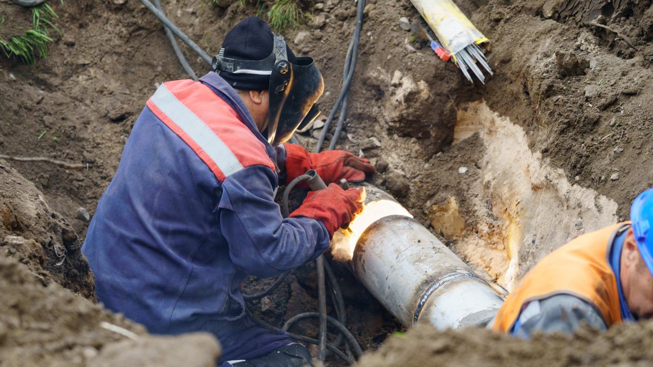
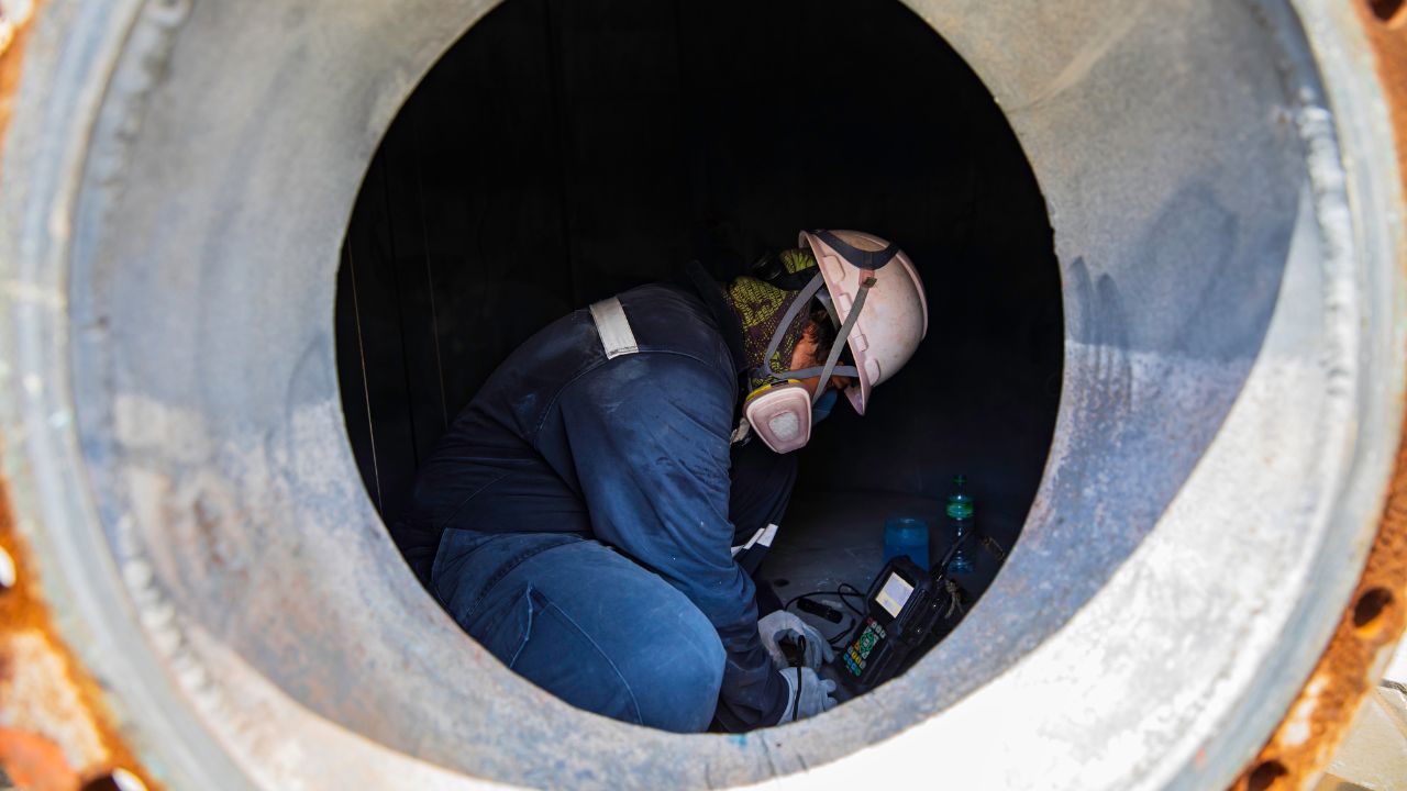
When it comes to locating underground utilities, precision and efficiency are key. In the past, locating buried assets like pipes, cables, and infrastructure often involved tedious and imprecise methods. However, with the integration of GPS and GIS technologies, private underground utility locating services have revolutionized how utilities are mapped and managed. These technologies allow for real-time, accurate data that can be used for planning, maintenance, and emergency responses.
In this article, we will explore how GPS (Global Positioning System) and GIS (Geographic Information Systems) mapping integration works in the context of underground utility locating, focusing on how they improve real-time mapping, accuracy, and historical utility tracking.
Before diving into the integration process, it’s important to understand how GPS and GIS work individually and together in utility locating.
GPS is a satellite-based navigation system that provides geospatial positioning. In utility locating, GPS helps determine the exact geographic location of a utility by providing latitude, longitude, and elevation data. The integration of GPS in utility locating services offers several key benefits:
GIS refers to a system designed to capture, store, manipulate, analyze, manage, and present spatial or geographic data. GIS software can map utilities and overlay relevant data, such as construction plans, zoning information, and environmental conditions.
When integrated, GPS and GIS provide an advanced utility locating solution. GPS gives the precise location of utilities, while GIS stores this data, making it accessible in digital maps. This combination provides an efficient way to track, manage, and visualize utility locations.
One of the key benefits of integrating GPS and GIS in underground utility locating services is the ability to create real-time maps of located utilities. This feature significantly improves utility management and planning.
By integrating GPS into the fieldwork and syncing it with GIS mapping, private utility locating services can provide an efficient, streamlined process for locating utilities and storing that information for future reference.
The integration of modern GPS technology has drastically improved the accuracy of underground utility locating services. Early GPS systems had limitations, but recent advancements in GPS technology have enhanced positioning precision. Let’s take a look at how modern GPS improves accuracy in utility locating.
Modern GPS technologies, such as Real-Time Kinematic (RTK) GPS, provide centimeter-level accuracy. This is a significant improvement over older GPS systems, which could only offer meter-level accuracy. The high precision of modern GPS systems is crucial in identifying the exact location of underground utilities.
With RTK GPS, real-time correction data is sent to the GPS receiver, allowing for more accurate measurements. The receiver continuously corrects its position, ensuring that the recorded utility location is highly precise.
Another technology that improves accuracy is Differential GPS (DGPS), which uses a network of fixed ground-based reference stations to correct errors in GPS signals. This system ensures that the utility locations are recorded with greater precision.
Modern GPS systems have expanded coverage and better connectivity, allowing utility locating teams to work in previously hard-to-reach areas. This is particularly useful in urban environments, where traditional surveying methods might struggle to deliver accurate results.
Through the integration of these advanced GPS technologies, private underground utility locating services can offer highly accurate utility mapping and reduce the risk of errors and costly excavation mistakes.
The true value of GIS is realized when its vast database of utility data is used for long-term planning and historical tracking. With GIS integration, utility operators can maintain a digital record of all their underground assets, which offers multiple benefits.
By using GIS to map out the locations of underground utilities, utility locating services can plan for future developments more effectively. GIS data can be used to identify areas where new utilities are needed or to spot existing infrastructure that requires upgrades.
Over time, utilities can change, be upgraded, or replaced. Using GIS databases, private utility locating services can track the history of each utility, including its installation, maintenance, and repair. This provides a long-term record that can be valuable in case of future emergencies or for decision-making.
In emergencies or routine maintenance, GIS plays a crucial role by providing accurate, updated maps of underground utilities. This helps emergency teams quickly find and access affected utilities, reducing response time and damage.
By combining GPS and GIS, utility locating services can improve accuracy, efficiency, and safety across various aspects of utility management. Here are some of the top benefits of this integration:
For those looking to enhance the accuracy and efficiency of their utility locating processes, Bess Utility Solutions offers cutting-edge GPS and GIS integration services. With the help of private utility locating service provider like Bess Utility Solutions, you can improve real-time mapping, ensure greater accuracy, and streamline planning and maintenance.
Contact Bess Utility Solutions today to learn how our underground utility locating services can help you manage and protect your underground assets more efficiently.